C) Sauna Bath Rapid to Hwy.61 (6 miles)
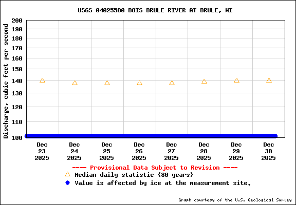
Gauge Conditions
Runnable: ? – ? CFS
Approximate reading: This gauge is 9.9 miles away on Brule. Use as a general reference only.
Data from American Whitewater & USGS
Run Map
Run Time Estimate
Select put-in and take-out to estimate time.
Plan This Trip
See wind-adjusted speed maps, forecast planning, and detailed time estimates.
Sign in to generate an AI timing estimate for this run.
Whitewater timing varies with scouting, portages, and group pace. Use as a planning baseline.
Description
Minnesota DNR maintains a gauge for this river. Click Here to see that gauge.
Note: You can use the pull-down menus to change the graph from 'Preliminary Stage' (feet) to 'Discharge' (cfs), and to change the number of days of data displayed. Once you make your selections, press the "Change" button for the changes to take effect and a new graph to be displayed.
Recommended flows for the upper section are above 500 cfs.
* * *
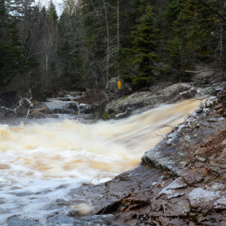
This is among the largest of the North Shore watersheds (river running directly into Lake Superior between Duluth and the reservation, short of the Canadian border), with a drainage near the mouth of 264 square miles.
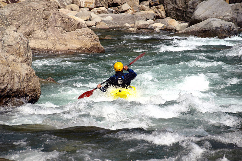
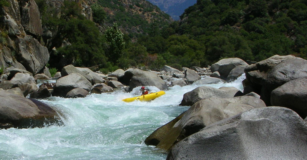
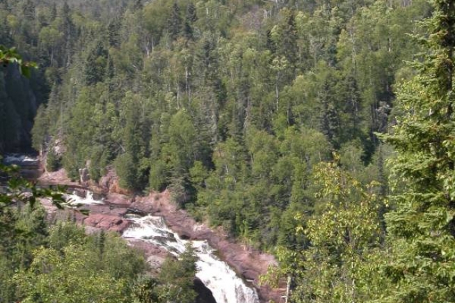
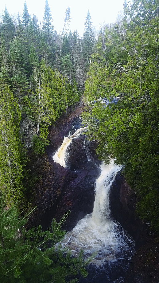
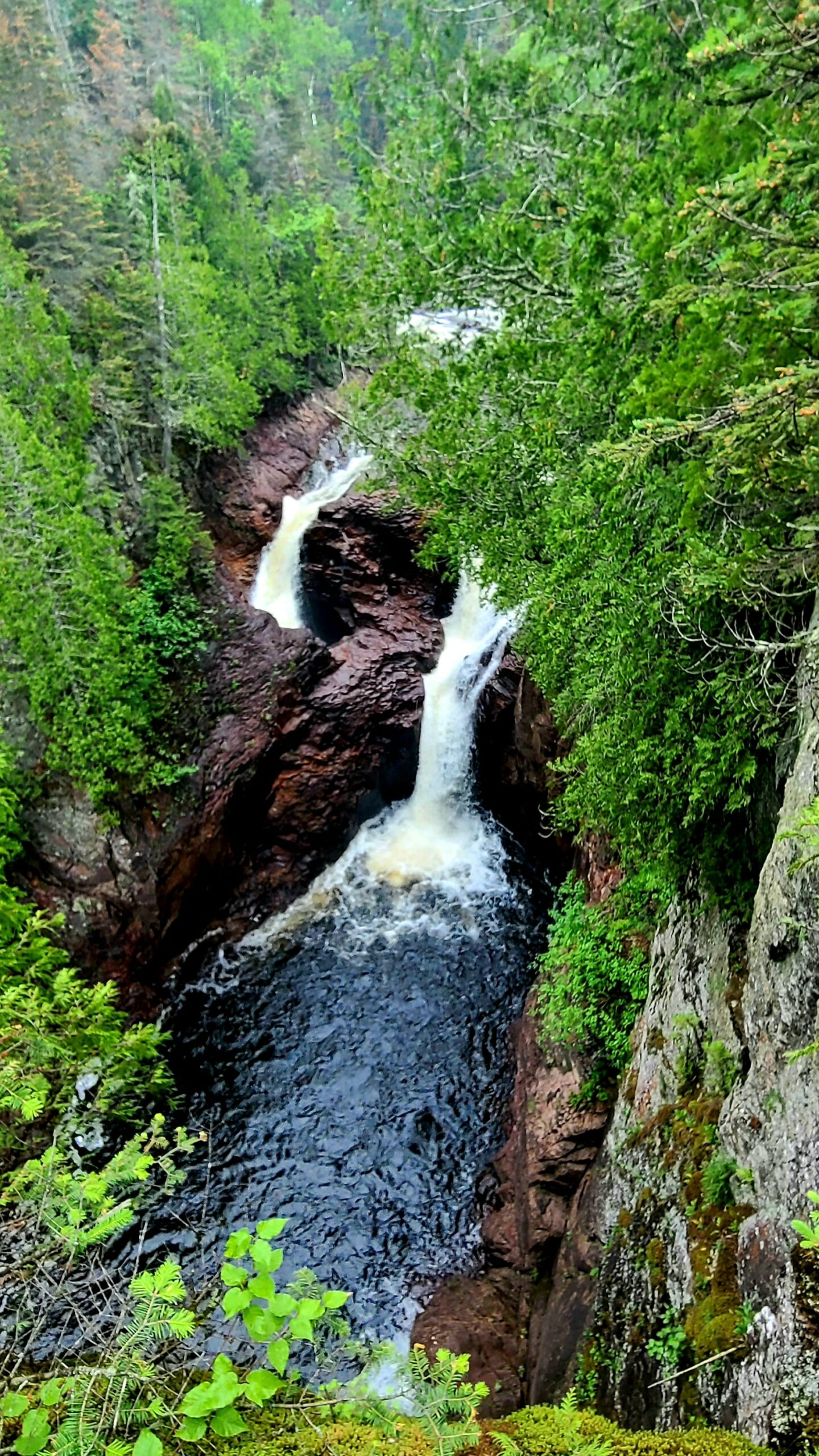
Boaters are advised to run this with someone experienced with this run, as some portages are preceded by eddyless water. It is reported that the river "drops 800 feet in an 8-mile span" on its final run to the lake. Among the drops in this stretch is _Devil's Kettle_ where a portion of the river disappears into vertical shaft. Reportedly various items (dyes, ping pong balls, GPS transponders) have been tossed in to see where the water goes (comes out), but have never shown up downriver or in the lake! A portion of the Superior Hiking Trail (SHT) runs pretty well along the river here, and can be used to hike up from Hwy.61 to see the last three falls of this stretch of river. (NOTE! On GoogleMaps, Devil's Kettle is severely misplaced, and appears about where Sauna Bath Rapids would be!)
Enjoy this look at Devil's Kettle and Upper Falls:
Additional pictures of Devil's Kettle (and some other falls on this river, and elsewhere) can be found by this google search.
Rapids in this Run (5)
Waterfalls (4)
Hazards & Portages (2)
Caution: The following locations may require scouting or portaging. Always check current conditions.
Difficulty
Class II-IV+(V)
Length
5.8 mi
Gradient
122 ft/mi
Rapids
5
2 Hazards
Access Points
Difficulty Classes
I Easy
II Novice
III Intermediate
IV Advanced
V Expert/Extreme
VI Unrunnable
Current Conditions
5-Day Forecast
Whitewater data from
American Whitewater
American Whitewater