C) Soo Line Rapids (PnP, or 3.3 miles)
Gauge Conditions
Runnable: ? – ? CFS
Approximate reading: This gauge is 3.0 miles away on Eau Claire (Chippewa trib.). Use as a general reference only.
Data from American Whitewater & USGS
Run Map
Interactive run map
Loads as you approach this section.
Run Time Estimate
Select put-in and take-out to estimate time.
Plan This Trip
See wind-adjusted speed maps, forecast planning, and detailed time estimates.
Sign in to generate an AI timing estimate for this run.
Whitewater timing varies with scouting, portages, and group pace. Use as a planning baseline.
Description
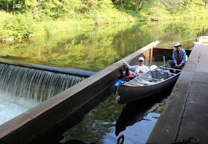
The 'main', 'usual' play area is off Galloway Street by Banbury Place. The _Soo Line Rapids_ (named after the old Soo Line Walking bridge, formerly a railroad bridge) has three really nice features, and may be done as a Park-and-Play (PnP).
In addition, there appear to be a number of other features upriver of this, making it worthwhile to do the 3.3 mile run as we have listed, especially at times of high flow, as wonderful wavetrains will exist!
And, the following YouTube video (from 'VesperSparrow') shows one of the Soo Line waves: https://youtu.be/0T3ZlOSUstc
Rapids in this Run (1)
Playspots (3)

Difficulty
Class I-II
Length
3.0 mi
Rapids
1
Access Points
Shuttle Info
Many folks will do this as a park-and-play at the best spots (which change depending upon flow), thus forgoing any shuttle.
Some may find it worthwhile (at some flows) to do the 3.3 mile run listed here, and using the default shuttle directions below.
Use the text-entry box to input your specific address or other starting location to get drive time, distance, and directions to this area.
Difficulty Classes
I Easy
II Novice
III Intermediate
IV Advanced
V Expert/Extreme
VI Unrunnable
Current Conditions
5-Day Forecast
Whitewater data from
American Whitewater
American Whitewater