C) The Gorge: National Forest sign to parking area above Brown Mtn. Beach Wild
Gauge Conditions
Data from American Whitewater & USGS
Run Map
Put-in
Take-out
Rapids/Hazards
Wild
Scenic
Recreational
Run Time Estimate
Select put-in and take-out to estimate time.
Plan This Trip
See wind-adjusted speed maps, forecast planning, and detailed time estimates.
Sign in to generate an AI timing estimate for this run.
Whitewater timing varies with scouting, portages, and group pace. Use as a planning baseline.
Description
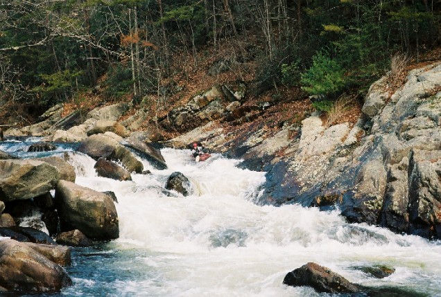
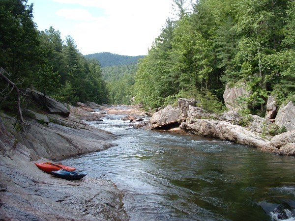
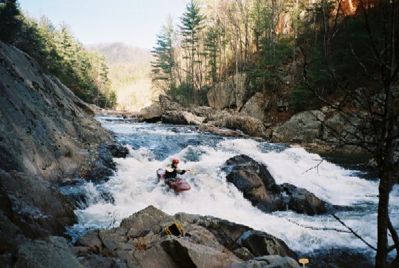
Wilson Creek is a beloved classic creek run in Western North Carolina. It features beautiful scenery, clear water, and an action packed series of bedrock sloping drops and rapids. At low flows it is a class -IV run that folks can slide down in a variety of craft. At higher flows it becomes a powerful river with juiced up holes and lines.
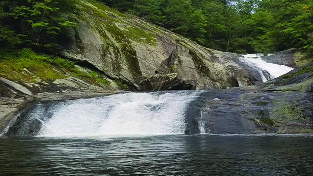
Some of the bigger rapids include: Mank Above 10ft, Ten Foot Falls, No Name, Boatbuster, Thunderhole, Triple Drop, Bitchslap, Hidden Eddy, Razorback, and Huntley's Retreat Between these drops are numerous large ledges with accompanying large ledge holes. The best description of the river can be found in William Nealy's classic guidebook 'Whitewater Home Companion, Vol. 2' Benner and Benners Carolina Whitewater has an excellent discription of the river. Appalachian Whitewater: The Southern States.
Note: Hurricane Helene radically changed the gauge readings at the bridge and online. When the USGS gage was put in (funded by American Whitewater) it was correlated so that 3 feet on the USGS gauge equated to 0 on the paddlers bridge gauge. This worked for easy math until Hurricane Helene hit in the fall of 2024 and piled massive sand bars near the gage. As of December 2024 the USGS gage was reading 4.25 feet higher than the old paddlers bridge gage, which is itself reading 1.25 feet higher than it used to. This is likely to change as the sand washes away.
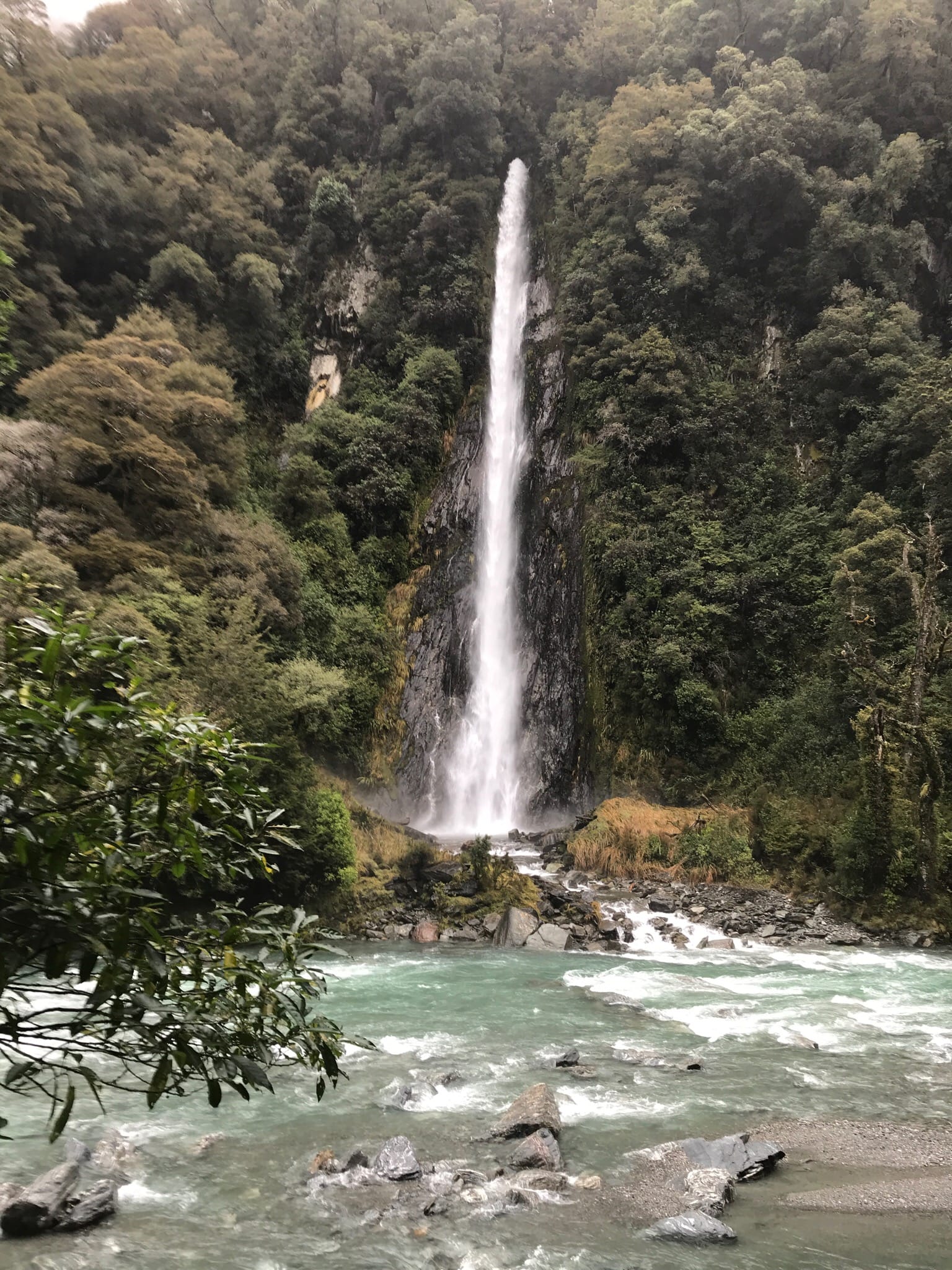
Wilson Creek is a federally-designated Wild and Scenic River. Click here to check out their description!
Directions: From Morganton NC go north on Highway 181 toward Linville. Take a right (east) on Adako Road and follow that to Brown Mountain Beach. Take FS 1328 North past Brown Mountain Beach. The take-out is on the left. It will be the first parking area on the left after the pavement ends. The put-in is the first parking area on the left past Ten Foot Falls (visible from the road), aproximately 3 miles past the take-out. From Lenior take Highway 90 north to Collettsville. Then take a left on Adako Road and follow it to Brown Mountain Beach.
Waterfalls (13)
 Waterfall
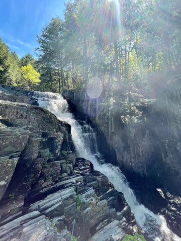
Mank Above Ten Foot.
 Waterfall
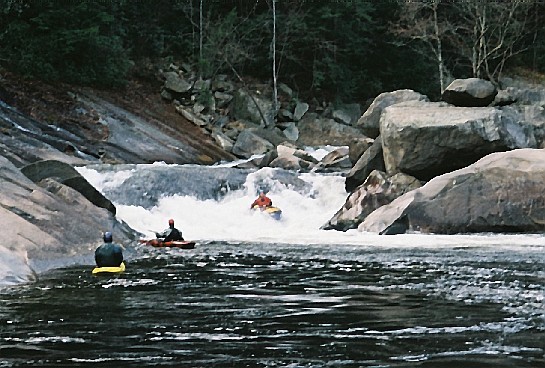
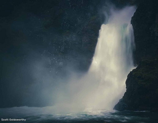
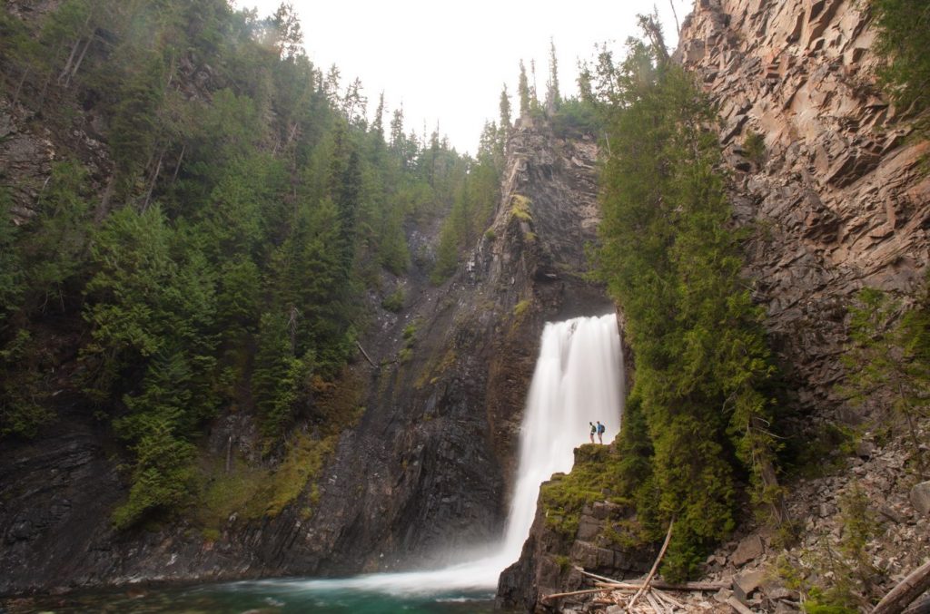
Ten Foot Falls
 Waterfall
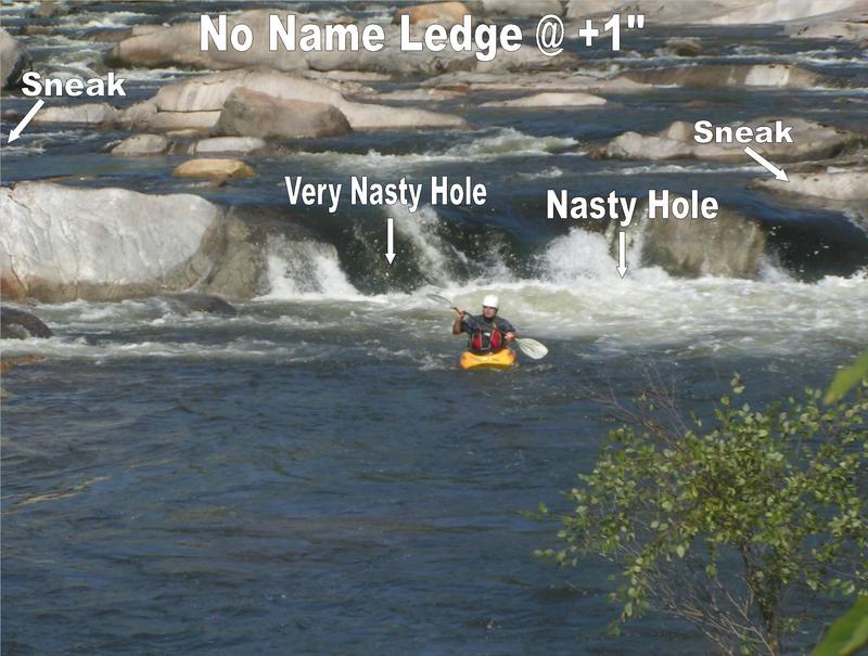
No Name
 Waterfall
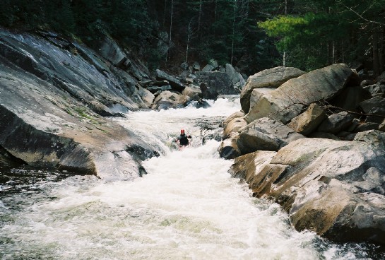
Boatbuster
 Waterfall
Thunderhole
 Waterfall
Dental Work
 Waterfall
Triple Drop
 Waterfall
Bitchslap
 Waterfall
Hidden Eddy
 Waterfall
Approach to Razorback
 Waterfall
Razorback
Waterfall
Huntley's Retreat
 Waterfall
Railslide
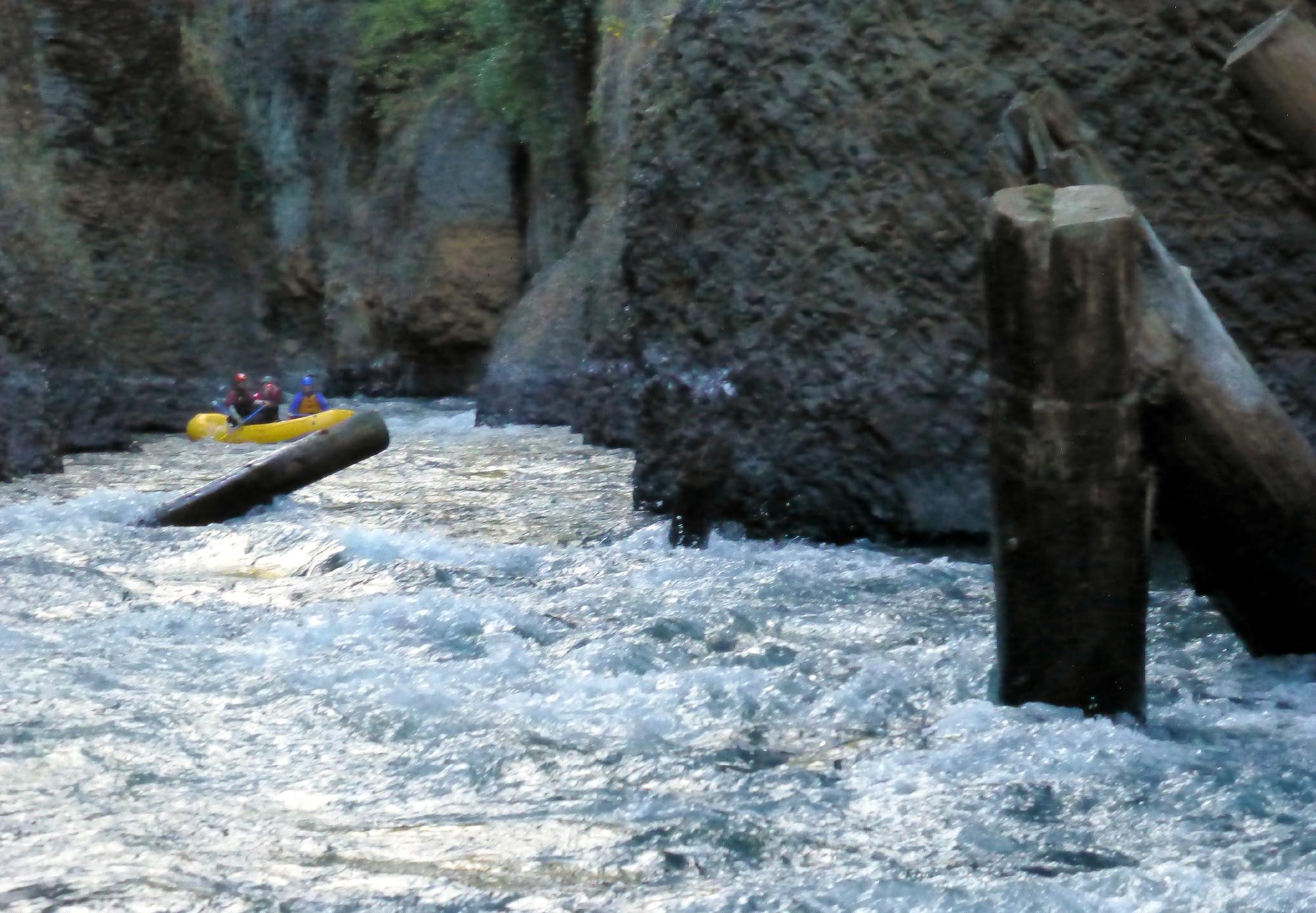
Hazards & Portages (4)
Caution: The following locations may require scouting or portaging. Always check current conditions.
Difficulty
Class III-IV
Length
1.8 mi
Gradient
95 ft/mi
max 100
Rapids
0
4 Hazards
Access Points
Difficulty Classes
I Easy
II Novice
III Intermediate
IV Advanced
V Expert/Extreme
VI Unrunnable
Current Conditions
5-Day Forecast
Whitewater data from
American Whitewater
American Whitewater