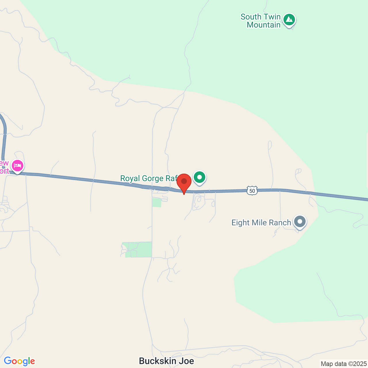
Cedar Creek Rd to Peru Bottom Rd (5.9 miles)
No sufficiently local live gauge linked. 1 automated match was excluded because the closest is 86.4 miles away. Difficulty and route details are not current water conditions.
Run Map
Run Time Estimate
Select put-in and take-out to estimate time.
Plan This Trip
See wind-adjusted speed maps, forecast planning, and detailed time estimates.
Sign in to generate an AI timing estimate for this run.
Whitewater timing varies with scouting, portages, and group pace. Use as a planning baseline.
Description
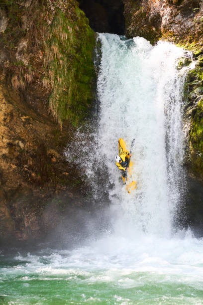
Extended flatwater access paddle from hell: avoid trees, fences, and cows. The payoff? A waterfall with fast bouldery run-out into smaller ledge, followed by a half mile of fun water (on the grounds of private campground, Camp St. Claret). As of last check, the only access is via the long paddle down, as listed here.
An Anonymous paddler provides (2009-03-03)
_My buddy and paddled this stretch in July of 2007. The paddle in was brutal and the water was too low to run the waterfall. Once we got to the falls we realized that if there enough water run it, we would have died in the strainers above. The drop is beautiful however, and a real treat for Northern Illinois._
Rapids in this Run (1)
Waterfalls (1)
Difficulty
Class I-II(IV)
Length
5.7 mi
Gradient
27 ft/mi
max 56
Rapids
1
Access Points
Difficulty Classes
I Easy
II Novice
III Intermediate
IV Advanced
V Expert/Extreme
VI Unrunnable
Current Conditions
5-Day Forecast
Whitewater data from
American Whitewater
American Whitewater