Chain O' Lakes to Little Hope (Wayside Park) (5 miles or PnP)
Gauge Conditions
Runnable: 75.0 – 350.0 CFS
Almost certainly too low for any real whitewater. *TENTATIVE: Please add a comment regarding gauge reading vs flow, runnability, and class/rating.
Data from American Whitewater & USGS
Run Map
Run Time Estimate
Select put-in and take-out to estimate time.
Plan This Trip
See wind-adjusted speed maps, forecast planning, and detailed time estimates.
Sign in to generate an AI timing estimate for this run.
Whitewater timing varies with scouting, portages, and group pace. Use as a planning baseline.
Description
Quick Facts:
Location: Approximately 6.7 miles SW from Waupaca.
Shuttle Length: 3.7 miles.
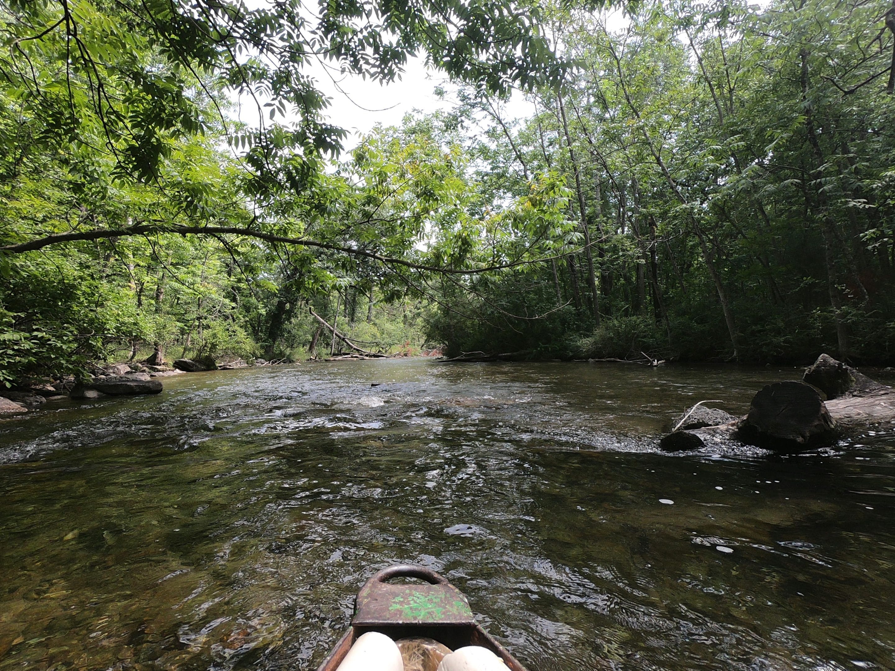
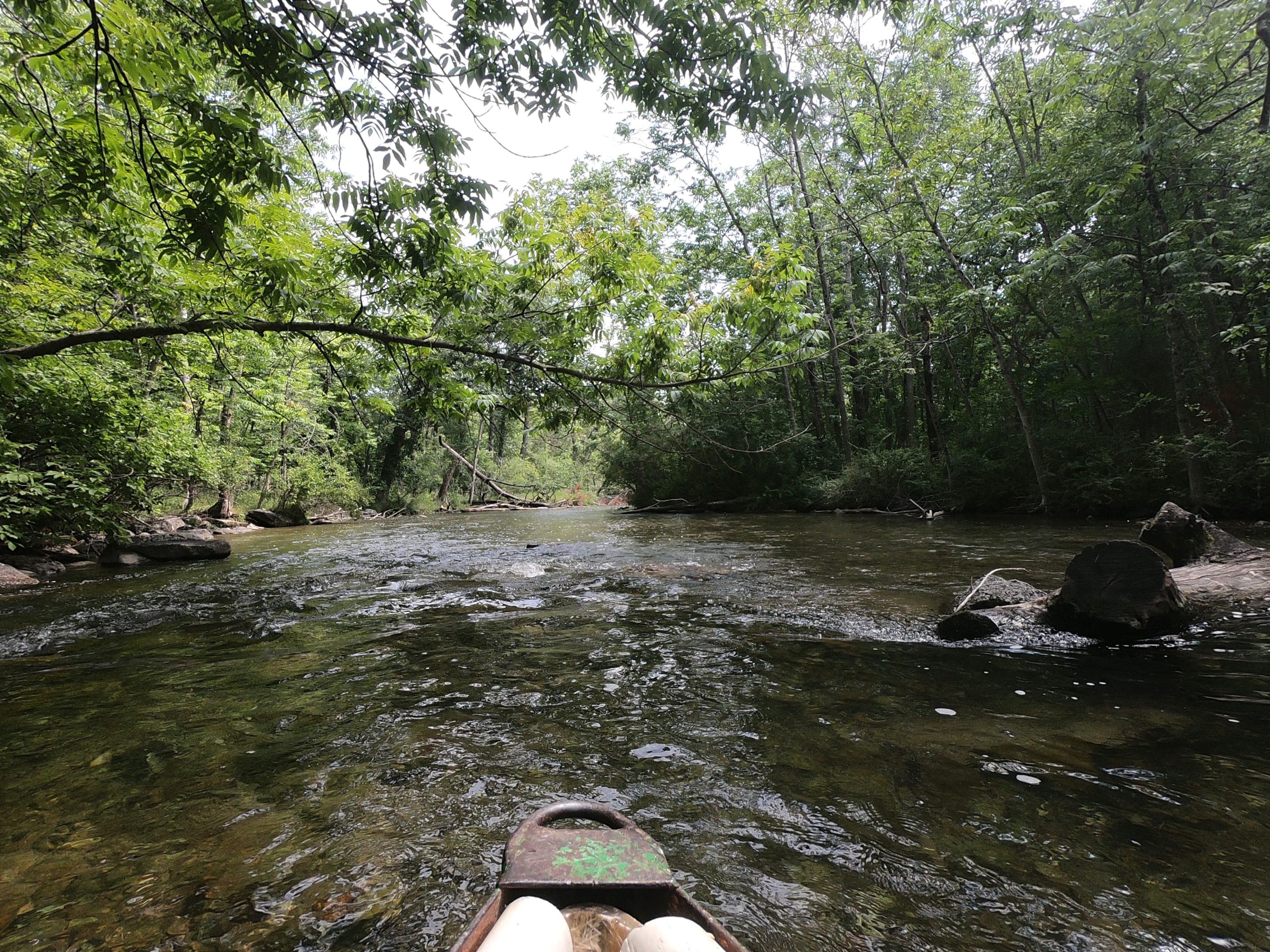
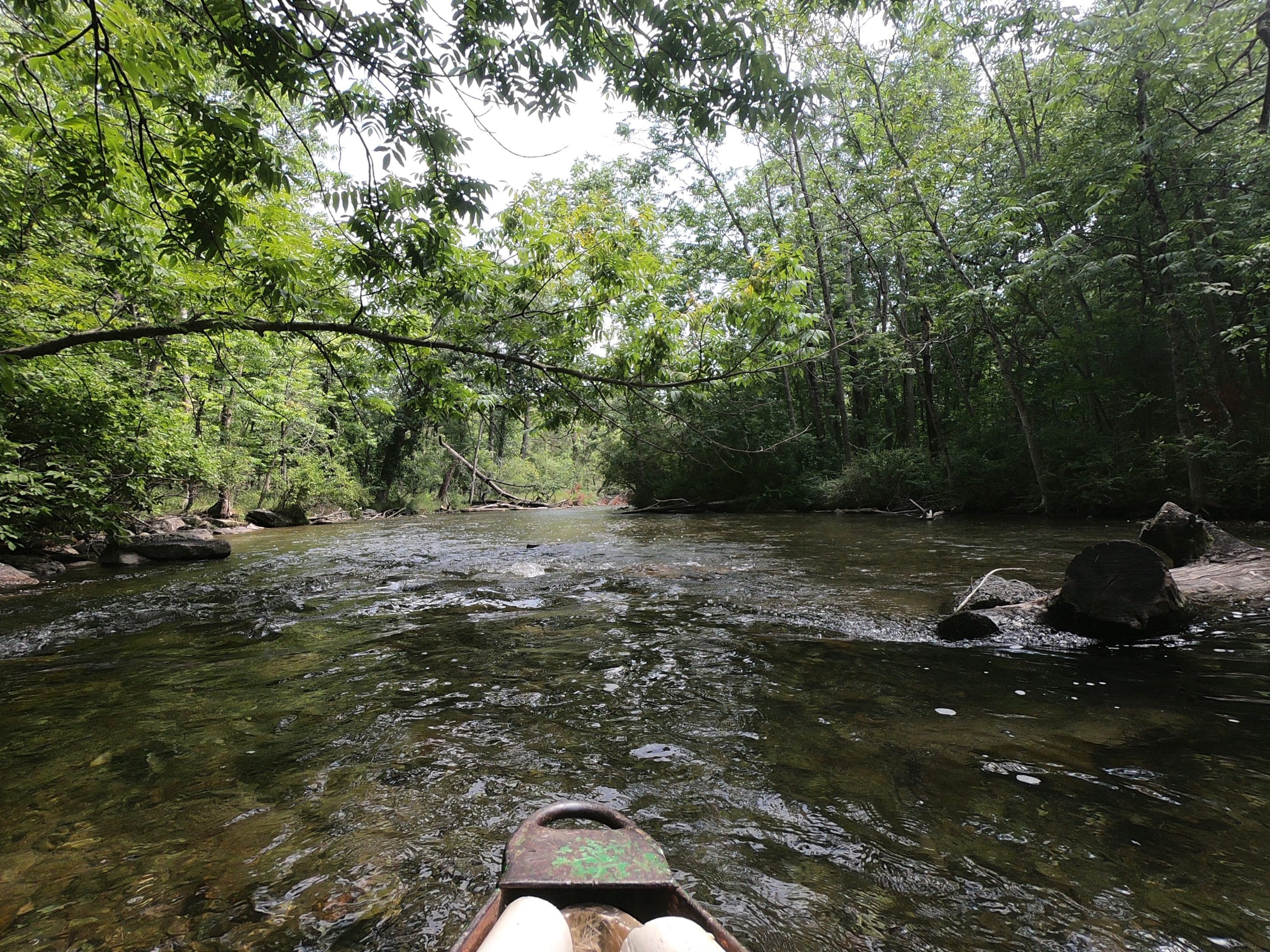
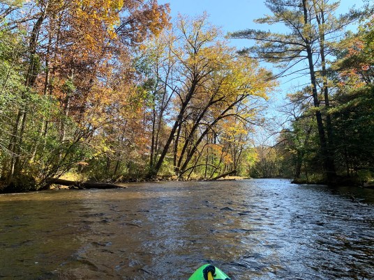
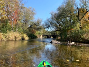
Character: A shallow stream with (generally) clear water (fed from a lake) has areas of shoals and plenty of twists and turns.
Put-in is approximately 890' elevation (mean elevation of Long Lake/Chain-O-Lakes).
Take-out is approximately 843' elevation (at the Mill Pond in Little Hope).
Thus total elevation change is approximately 47'.
General Overview
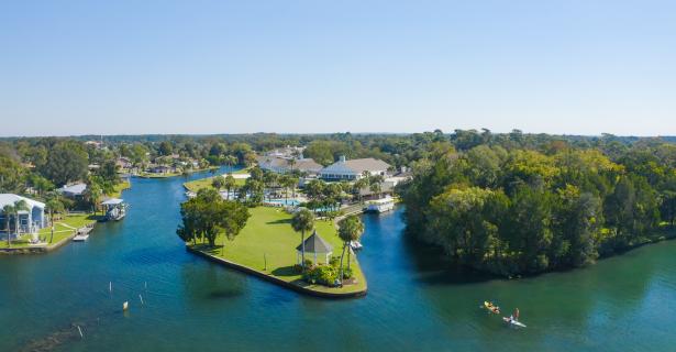
The first (and often only) 'whitewater' experience many Wisconsinites (and Illinois vacationers) get is a trip to *'Dings Dock'* to paddle a funky fiberglass (nearly see-through) canoe down the Crystal River. Such trips are common for family groups, youth groups, school groups, et cetera, for a bit of summer fun. Trips start (rather interestingly) with a motor-launch cruise across a lake (the river flows out of the 'Chain O' Lakes'), towing the fleet of canoes to the head of the stream.
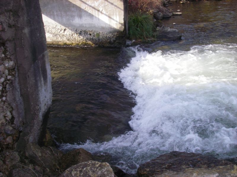
The intimate stream has numerous tight turns and various rocks and shoals for novice boaters to navigate, though the biggest 'hazard' on the trip will be your fellow boaters, as they delight in ambush and sabatage, to have splash fights and attempt to capsize others' craft. Apparently the former mill dam at our listed take-out has been officially abandoned, and may provide some minor play (as shown by our feature photo above).
Any private boaters who opt to run this reach are therefore advised to do so either before Memorial Day, or on week *days*, to avoid the vacationing novice throngs.
For those interested in a longer trip, the confluence with the Waupaca River is another 7 miles downstream, at just under 800', making this lower stretch average just about 6 feet per mile.
We had 'pegged' this section to the USGS gauge for the Waupaca River near Waupaca to have some online reference to indicate likely water levels. Unfortunately, as of June 2020, USGS has a notice that gauge has been discontinued.
Special Note: The real HUC for this reach should be 04030202. It has been 'faked' below to allow this reach to 'sort' (when listing is pulled up 'by drainage') into the 'Southwestern Lake Michigan' rivers, rather than the already bloated list of 'Northwestern Lake Michigan' rivers. If this somehow causes problems for anyone using this listing, please send a message to the Regional StreamTeam Leader (which can be done via the 'Add a Comment' button which should appear under the 'Comments' tab).
Rapids in this Run (9)
Hazards & Portages (1)
Caution: The following locations may require scouting or portaging. Always check current conditions.
Difficulty
Class I-II
Length
3.5 mi
Gradient
10 ft/mi
max 12
Rapids
9
1 Portage
Access Points
Difficulty Classes
I Easy
II Novice
III Intermediate
IV Advanced
V Expert/Extreme
VI Unrunnable
Current Conditions
5-Day Forecast
Whitewater data from
American Whitewater
American Whitewater