Chesdin Dam To Petersburg (Route 36)
Gauge Conditions
Data from American Whitewater & USGS
Run Map
Run Time Estimate
Select put-in and take-out to estimate time.
Plan This Trip
See wind-adjusted speed maps, forecast planning, and detailed time estimates.
Sign in to generate an AI timing estimate for this run.
Whitewater timing varies with scouting, portages, and group pace. Use as a planning baseline.
Description
Ed Evangelidi testifies:
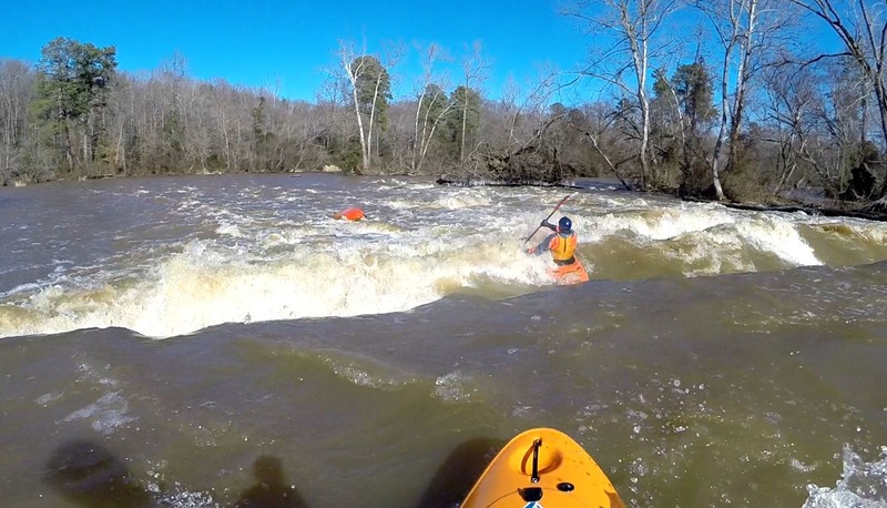
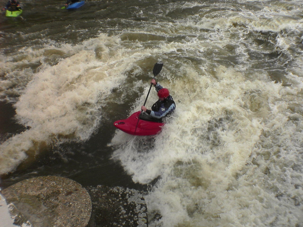
This stretch of mild whitewater was formerly a heavily industrialized river and there are many man-made obstacles to be aware of, including dams in various states of disrepair, rebar, sharp rock, etc. There are also terminal hydraulics at high water. It is best to go with someone who knows the river. There are also many miles of very flat water way above Lake Chesdin that are paddleable.
Paul Clemmer says:
Runnable levels: On the upper end, 8’ is my absolute cutoff, and to run at 6.5’ or higher I would require a more experienced group. The Matoaca bridge RC gauge says NO WAY between 4’ and 4.5’ (corresponds to 6.5-7’ on the USGS gauge). I have heard that this section has been rafted as high as 14’. Takeout is before Campbell’s bridge at high levels. RC gauge shows a “canoe zero” level that corresponds to about 2.5’ on the USGS gauge at Matoaca. It can be run lower than this if you are careful about selecting the deeper channels and don’t mind occasionally dragging your boat over rocks. I have poled my 17’ canoe a quarter mile past the abutment dam and had no problem finding enough water at 190 CFS (2.05’), so that is my lower comfort level. At that level this section is more of a nature/history float than a whitewater trip, but (to me anyway) still worth doing.
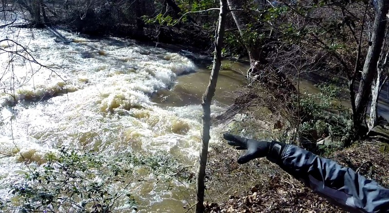
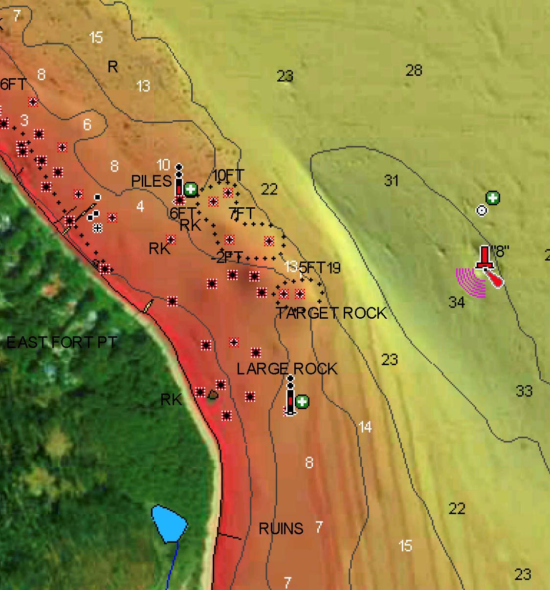
Other features: many Class I and II rapids and play spots, braided channels through islands, wildlife, strainers in island area. Alternate access points at Abutment dam, Ferndale Park, river trail in Pipeline/Target Rock area. STRONG whirlpool under Campbell’s bridge at higher levels (if you’ve always wanted to do a mystery move in your canoe, this is the place). Harvell Dam (100 yards below the takeout) is a potentially lethal hazard, so don’t miss the takeout. A short distance below Harvell dam the river is tidal and can be paddled to the James River confluence in Hopewell, and beyond.
See Also:
_Classic Virginia Rivers,_ Ed Grove (1992 ed), p. 192.
_Virginia Whitewater_, Roger Corbett (2000 ed.), p. 221.
_Exploring Virginia's Waterways_, Ed Gertler (2022 ed.), p. 159.
Playspots (5)
Hazards & Portages (2)
Caution: The following locations may require scouting or portaging. Always check current conditions.
Difficulty
Class II-III
Length
6.6 mi
Gradient
15 ft/mi
Rapids
0
2 Hazards
Access Points
Difficulty Classes
I Easy
II Novice
III Intermediate
IV Advanced
V Expert/Extreme
VI Unrunnable
Current Conditions
5-Day Forecast
Whitewater data from
American Whitewater
American Whitewater