Chester to Pottersville
Linked via: Proximity 94% confidence Synced 5mo ago
Gauge Conditions
Runnable: 160.0 – 500.0 CFS
Data from American Whitewater & USGS
Run Map
Description
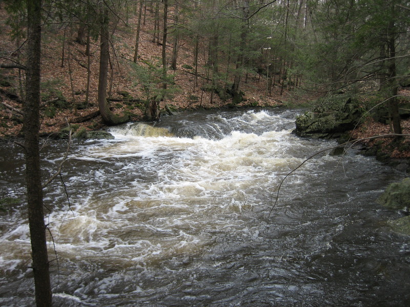
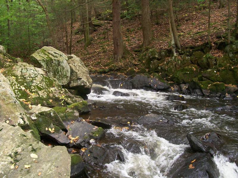
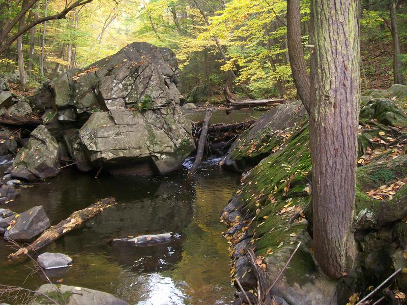
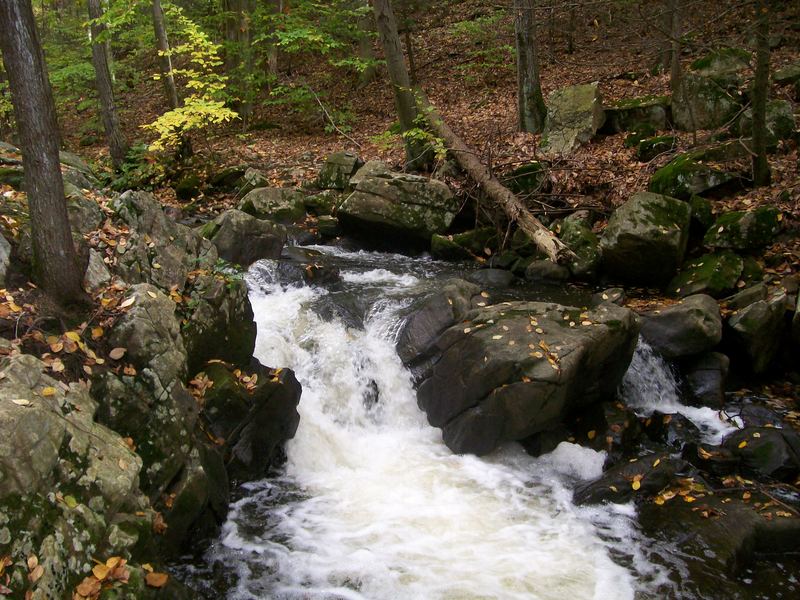
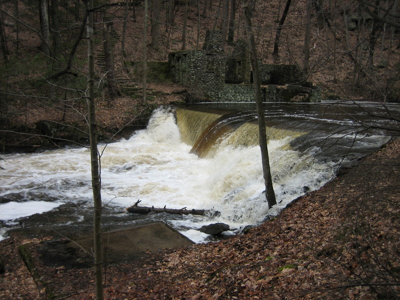
This section of the Lamington River is known as the Black River. I'm not just making this up, you will see the name used in businesses in the area (Black River Coffee Co.) and on signs in Hacklebarney St. Pk. It is a very pretty run. It is also very small and creeky and can be a long day if you do the whole thing from Coopers Mill to Pottersville.
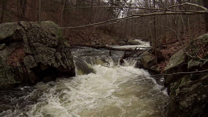
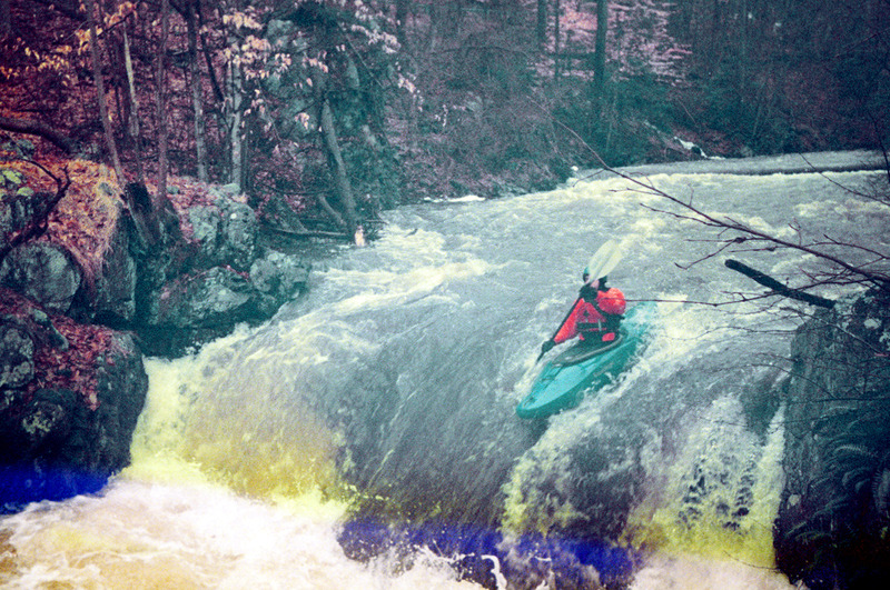
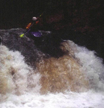
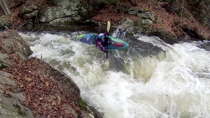
Generally it's a III, but with a little bit of extra water some of the tighter drops could easily be called a solid IV. This creek also picks up a lot of wood at times which can add to the difficulty/danger and slow down your progress. The run has two small gorges. The first is upstream of Hacklebarney, the second is just above Pottersville and is very narrow (it starts just below a small summer home on river right). The second has only two rapids, but the first of the rapids (Nasty) is quite tight and would be a solid IV+ with 3' on the gauge.
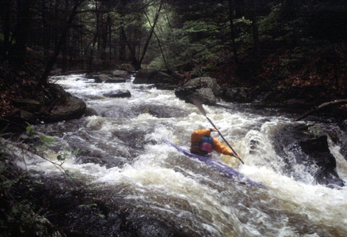
Here's a video of some of the drops from Dec. 22, 2018. I think the Level was 2.6'.
First Descent Alert!! As far as I know, Trout Brook and Rinehart Br. haven't been run!
Rapids in this Run (8)
Waterfalls (2)
Hazards & Portages (3)
Caution: The following locations may require scouting or portaging. Always check current conditions.
Difficulty
Class III-IV
Length
5.9 mi
Gradient
71 ft/mi
max 100
Rapids
8
3 Hazards
Access Points
Shuttle Info
[](http://www.americanwhitewater.org/photos/?photoid=9420)**Put-in**-
There are three put-in options: If you want to run the whole thing, put in either at the Cooper Grist Mill on Rt. 24, or at the fishing access to the pond on State Park Rd.(as shown on the map). If you only want to run the second half, you can put in where Hacklebarney Rd. crosses the river.
The first half is more bang for your buck if you don't have a whole day.
you can scout in Hacklebarney St. Pk. and the rangers have told me that you can paddle through with no problems, **but don't try to put-in inside of Hacklebarney!**
There is a lot of private land around here and lots of fisherman in the spring (especially the first few weeks in April) So, as is generally the rule, try to access where the road is very close to the creek (a few feet) or where a bridge crosses.
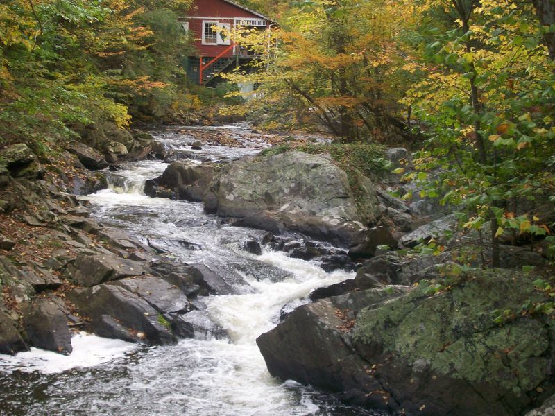
**Take out-** You can take out where Hacklebarney Rd. crosses the river (to just do the top section) or at the gauging station on Black River Rd., or all the way at the end at the Pottersville Deli
**Click on the small map to see the larger, more detailed map.**
Difficulty Classes
I Easy
II Novice
III Intermediate
IV Advanced
V Expert/Extreme
VI Unrunnable
Current Conditions
5-Day Forecast
Whitewater data from
American Whitewater
American Whitewater