Clarendon Springs to W. Rutland
Gauge Conditions
Runnable: 1,700.0 – 2,750.0 CFS
Data from American Whitewater & USGS
Run Map
Interactive run map
Loads as you approach this section.
Run Time Estimate
Select put-in and take-out to estimate time.
Plan This Trip
See wind-adjusted speed maps, forecast planning, and detailed time estimates.
Sign in to generate an AI timing estimate for this run.
Whitewater timing varies with scouting, portages, and group pace. Use as a planning baseline.
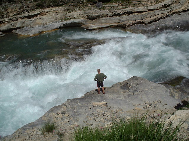
Description
We ran this when the AW gauge was at 2500cfs. It was essentially a muddy farm creek that is only runnable when flooding, and is only worth doing if you truly love to portage around deadly sweepers through the world's thickest thorniest brambles. Truly a struggle, we had to walk around seven or eight sweepers that crossed the whole river. It's really only class I and II whitewater, but the fast current and the lack of eddies make it hard to get out in time when the next sweeper comes up around a corner. Better off running the Poultney..
Flow info:
The Otter Creek gauge is located downstream of the takeout where the Clarendon ends. The range is an estimate based on the 75th percentile of the Otter. If you run this section please leave a comment with the level.
Rapids in this Run (1)
Difficulty
Class I-II+(IV)
Length
4.7 mi
Rapids
1
Access Points
Difficulty Classes
I Easy
II Novice
III Intermediate
IV Advanced
V Expert/Extreme
VI Unrunnable
Current Conditions
5-Day Forecast
Whitewater data from
American Whitewater
American Whitewater