Compton to Carroll County Road 11 (6 miles)
No sufficiently local live gauge linked. 1 automated match was excluded because the closest is 53.0 miles away. Difficulty and route details are not current water conditions.
Run Map
Interactive run map
Loads as you approach this section.
Run Time Estimate
Select put-in and take-out to estimate time.
Plan This Trip
See wind-adjusted speed maps, forecast planning, and detailed time estimates.
Sign in to generate an AI timing estimate for this run.
Whitewater timing varies with scouting, portages, and group pace. Use as a planning baseline.
Description
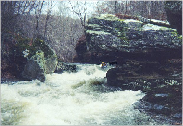
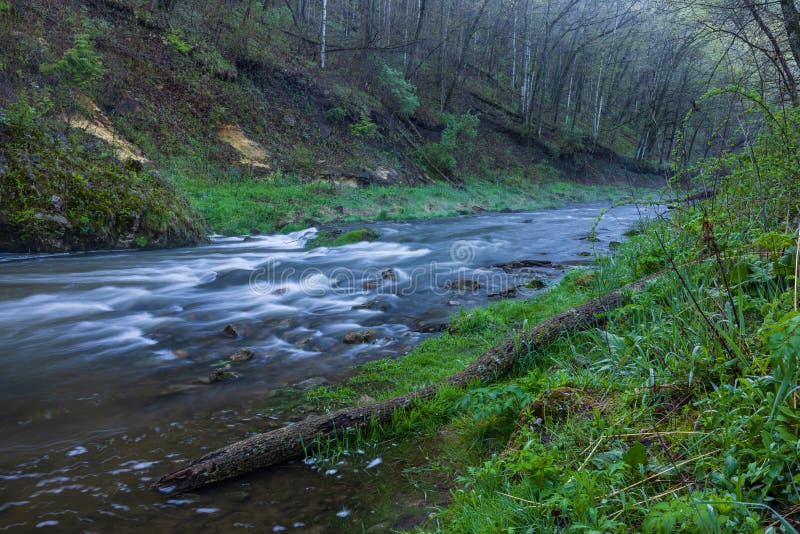
This is a great Ozark creek, lots of great scenery and tight drops. It is also a serious creek, being a step up in difficulty above Upper Richland. Hazards abound, and hiking out of the gorge after an injury really sucks. As of spring 2025 most of the rapids \*except\* Howler are clear of wood, but scout anything you can't see clearly. The drops come up on your fast and blind - don't take any chances in here. While runnable at minimum levels, the lines become much more defined and the undercuts tend to get submerged better at medium water levels.
To gauge runnability levels, look at the starting gun rapid. If water is complete over the right side of the falls, that's minimum. If water is up to the bush on the rock falls left, and water is trickling over the left side, that's a good medium. If you can't even see the rock and bush sticking up river left at Starting gun, the creek is too high, so wait a few hours.
Creek runs through private land, please thank any landowners you see. Please do not block the roads or driveways at the put-in. The current landowners on the downstream side of the put-in bridge are very friendly, please respect thier beautiful home.
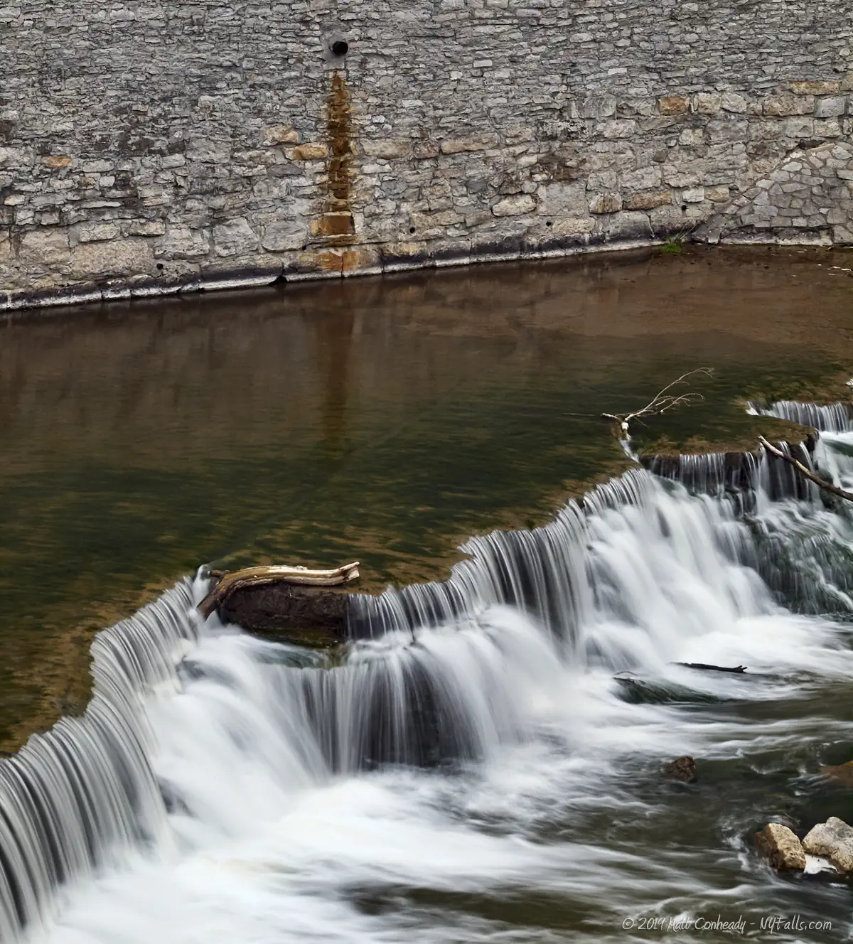
Put-in: Go North on Hwy 43 for 4.8 miles from the intersection of Hwy 103 near Compton. Turn left (Northeast) on a dirt road and follow for 2/3 miles to the bridge over the creek. Osage Creek and Wolf Branch join just above the bridge and there is a 6-ft waterfall just below the bridge.
Take-out: Go across the bridge and turn right (North). Go 2.2 miles and turn right (North) at the tee. Go 3.3 miles and turn right at the bottom of the big hill. Go upstream for 1.1 miles to the bridge.
More info at:
Osage Creek, Ozark Whitewater Page
More photos at:
Osage Photo Page
Rapids in this Run (3)
Waterfalls (2)
Hazards & Portages (1)
Caution: The following locations may require scouting or portaging. Always check current conditions.
Difficulty
Class III-IV
Length
6.0 mi
Gradient
80 ft/mi
max 130
Rapids
3
1 Hazard
Access Points
Difficulty Classes
I Easy
II Novice
III Intermediate
IV Advanced
V Expert/Extreme
VI Unrunnable
Current Conditions
5-Day Forecast
Whitewater data from
American Whitewater
American Whitewater