Cornell Bridge to near Norden Bridge (30.4 miles) Scenic
Gauge Conditions
Runnable: 460.0 – 1,200.0 CFS
Data from American Whitewater & USGS
Run Map
Put-in
Take-out
Rapids/Hazards
Scenic
Recreational
Run Time Estimate
Select put-in and take-out to estimate time.
Plan This Trip
See wind-adjusted speed maps, forecast planning, and detailed time estimates.
Sign in to generate an AI timing estimate for this run.
Whitewater timing varies with scouting, portages, and group pace. Use as a planning baseline.
Description
Niobrara is Sioux for "running water." From Valentine, Nebraska to the Fort Spencer Dam, 76 miles of this stream are protected as a National Scenic River. However, the upper 30 miles provide the best canoing experience. Fast water and a rocky bottom make for an interesting trip. A multitude of waterfalls drop into the Niobrara, including Smith Falls, a 75-footer.
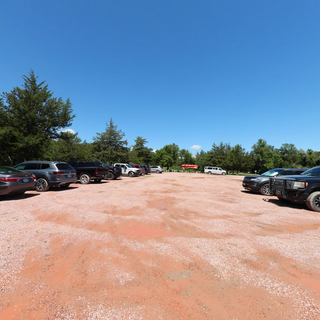
Put-in at Burr Oak Picnic Area, adjacent to Cornell Bridge within Fort Niobrara National Wildlife Refuge, just east of Valentine, Nebraska.
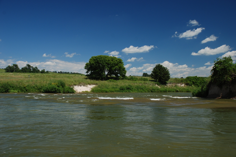
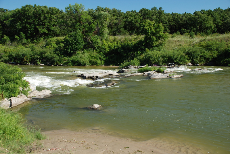
Almost immediately you will encounter a Class II- rapids. About 3/4 of a mile from the put-in, a small creek enters the river. A short hike up a path leads to 70' tall Fort Falls, the second tallest falls in Nebraska.
Downstream, the river is flanked by limestone, sandstone, and chalk cliffs, with countless seeps contributing groundwater to the stream. Berry Falls drops into the Niobrara in this area.
Three miles further lies Smith Falls State Park (primitive camping, toilets, showers, and picnic areas). A one-mile hike leads to 75-foot tall Smith Falls.
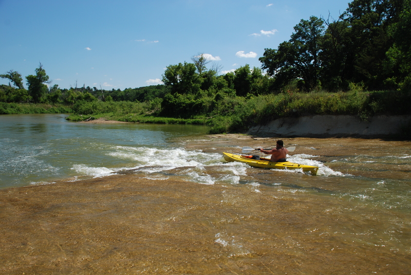
Three miles further brings you to another bridge (and another public access area). From this point on the Niobrara become more challenging. Two miles beyond the bridge you will encounter Class II+ Conner's Rapids. A mile more brings you to Fritz's Island. The right channel has a rock ledge that can create a challenging hydraulic at high water. (Left of the island is a tamer route.)
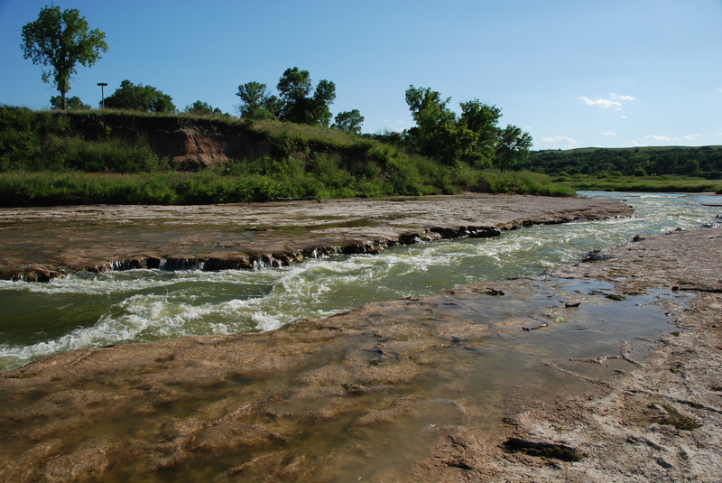
A mile past Fritz's Island is Fritz's Chute (Class II, run right down the middle), followed by Rocky Ford, which novice paddlers may find difficult to navigate. Scout and/or portage river-left, north bank. Next up will be Franklin's Rapids, which tends to develop a large hole at the center of the river. Again, scout and/or portage on river-left/north-bank.
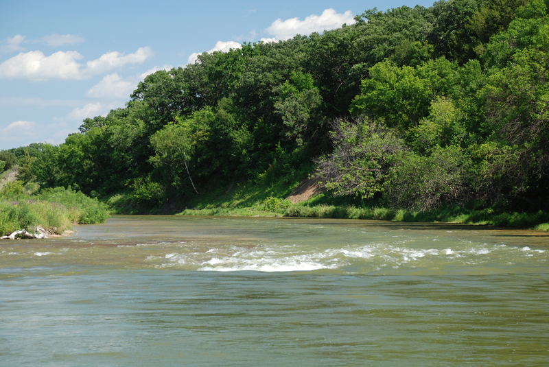
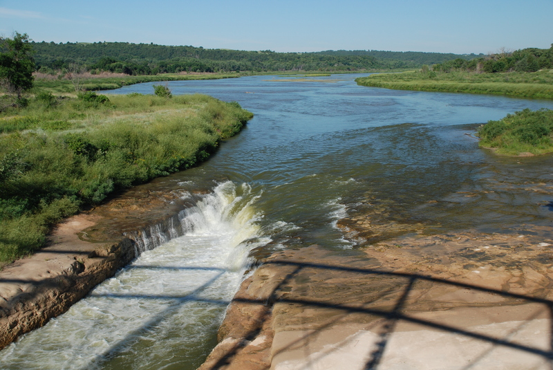
At Egelhoff's Narrows the river accelerates as it is squeezed by low cliffs. Beyond the Narrows the river becomes wide and shallow. One last named rapids (Kuhre's Rapids, Class II) before the the last 3-1/2 miles of flatwater to Norden Bridge.
Take-out for novice/flatwater paddlers should be before the bridge on river-left (north bank), while those more experienced may enjoy the large hole and rapids prior to and under the Norden Bridge before taking out. Beyond this point, the Niobrara is usually too shallow to recommend proceeding further.
Your best bet for camping (if you don't want to rough it in the Wilderness Area) will be twenty-five miles southwest of Valentine at Merritt Reservoir State Recreation Area.
Additional Information Sources:
- The State of Nebraska Website has a fine write-up with additional information.
- Niobara River Outfitters is a non-profit that promotes outdoor recreation opportunities in the Niobara River Valley and provides links to outfitters who provide boats and shuttles.
- The National Park Service Niobara River Wild and Scenic River website also has information on the river.
Difficulty
Class I-II
Length
30.9 mi
Gradient
7 ft/mi
Rapids
9
Access Points
Difficulty Classes
I Easy
II Novice
III Intermediate
IV Advanced
V Expert/Extreme
VI Unrunnable
Current Conditions
5-Day Forecast
Whitewater data from
American Whitewater
American Whitewater