CR 111 to US 231
Gauge Conditions
Runnable: 750.0 – 3,000.0 CFS
Data from American Whitewater & USGS
Run Map
Interactive run map
Loads as you approach this section.
Run Time Estimate
Select put-in and take-out to estimate time.
Plan This Trip
See wind-adjusted speed maps, forecast planning, and detailed time estimates.
Sign in to generate an AI timing estimate for this run.
Whitewater timing varies with scouting, portages, and group pace. Use as a planning baseline.
Description
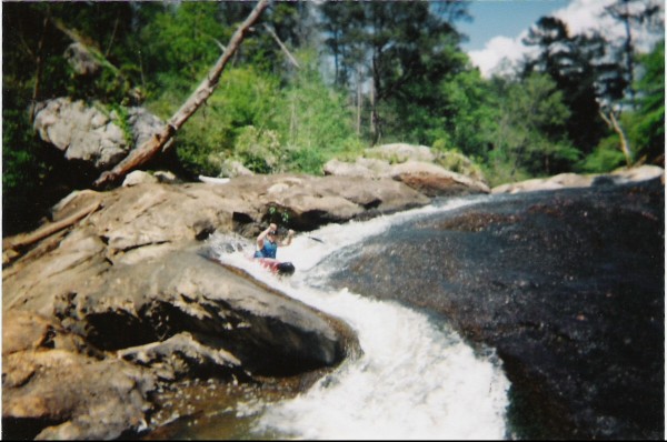
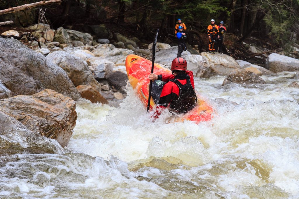
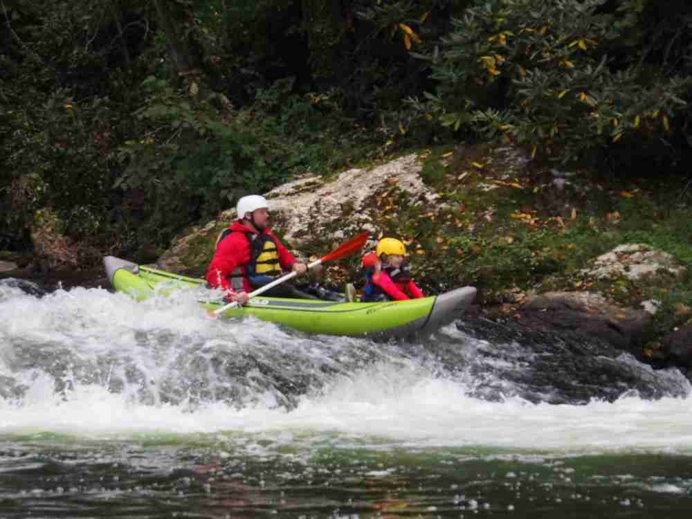
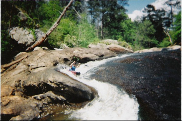
Rumored to be one of the best whitewater runs in Central Alabama. Similar to many quality runs in Alabama, the access deters many from enjoying this section. The first mile is relatively flat, then the geology changes from sandstone to granite - this is where things begin to pick up. There are a few Class II/III slides before four back to back Class II+/III+ rapids.
Rapids in this Run (4)
Difficulty
Class III
Length
5.0 mi
Gradient
31 ft/mi
max 80
Rapids
4
Access Points
Difficulty Classes
I Easy
II Novice
III Intermediate
IV Advanced
V Expert/Extreme
VI Unrunnable
Current Conditions
5-Day Forecast
Whitewater data from
American Whitewater
American Whitewater