Crow Creek Rd/Majorsville Road to Ohio River, Wheeling, WV
Gauge Conditions
Runnable: 1.8 – 5.0 FT
Data from American Whitewater & USGS
Run Map
Run Time Estimate
Select put-in and take-out to estimate time.
Plan This Trip
See wind-adjusted speed maps, forecast planning, and detailed time estimates.
Sign in to generate an AI timing estimate for this run.
Whitewater timing varies with scouting, portages, and group pace. Use as a planning baseline.
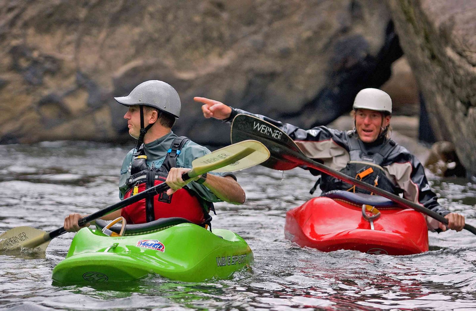
Description
Wheeling Creek is very popular with locals for tubing as well as canoeing and kayaking, it is mostly flatwater with a few small riffles for most of its length. This creek is quite diverse as it cuts across West Virginia’s northern panhandle, moving from rural farmland and forest toward the more urban landscape of Wheeling at its confluence with the Ohio River.
You can dock or drop in at the ample put-ins and take-outs, and as Wheeling Creek nears the City of Wheeling, there are even some nice multi-use trails, parks and restaurants that line its banks.
The most ideal water level to paddle on Wheeling Creek is in the range: 1.8 feet - 4 feet. Anything below 1.8 ft will require extensive walking and dragging of your watercraft. Anything above 4 feet is NOT recommended and can become extremely dangerous. Remember to always tell people where you are going, time frame of your journey, go with a buddy, wear sunscreen, and don't forget your personal flotation device (PFD) per state law.
Rapids in this Run (8)
Rapid
Viola Sportsmans Club Creek Access
Rapid
Viola Public Creek Access
Rapid
Burches Run Public Creek Access
Rapid
Old Coal Mine Bridge Creek Access
Rapid
Patterson Recreational Complex Creek Access
Rapid
Wheeling University River Access
Rapid
Kroger River Access
Rapid
Tunnel Creek Park - River Access
Hazards & Portages (1)
Caution: The following locations may require scouting or portaging. Always check current conditions.
Difficulty
Class I(II)
Length
28.0 mi
Rapids
8
1 Hazard
Access Points
Difficulty Classes
I Easy
II Novice
III Intermediate
IV Advanced
V Expert/Extreme
VI Unrunnable
Current Conditions
5-Day Forecast
Whitewater data from
American Whitewater
American Whitewater