CTH.C to Friendly Valley Road (PnP or 5 miles)
Gauge Conditions
Runnable: ? – ? CFS
Approximate reading: This gauge is 6.6 miles away on Sioux. Use as a general reference only.
Data from American Whitewater & USGS
Run Map
Interactive run map
Loads as you approach this section.
Run Time Estimate
Select put-in and take-out to estimate time.
Plan This Trip
See wind-adjusted speed maps, forecast planning, and detailed time estimates.
Sign in to generate an AI timing estimate for this run.
Whitewater timing varies with scouting, portages, and group pace. Use as a planning baseline.
Description
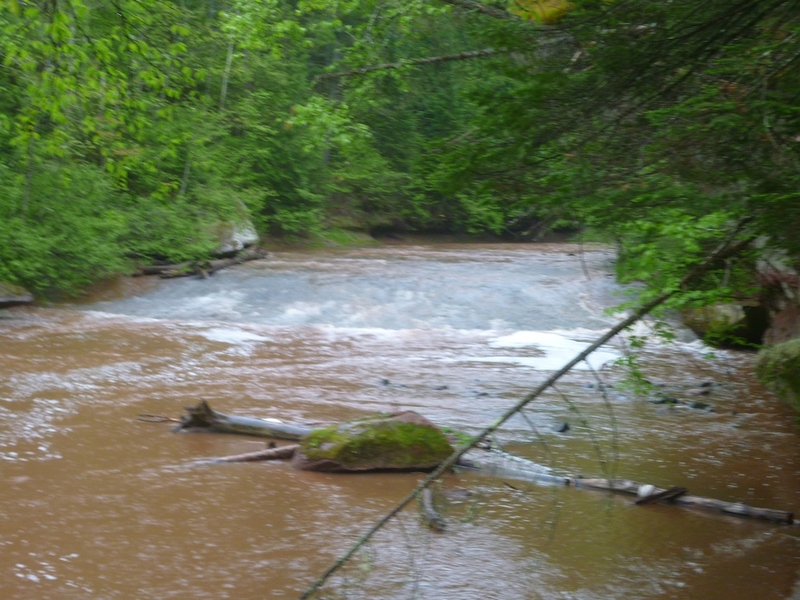
Just outside of Washburn, WI, this generally low-gradient river offers a fine wilderness run. The best whitewater action (consisting of a few fine-looking bedrock slides) is found around Big Rock Wayside Park (where there is camping), and thus may likely be preferred as a park-and-play. Outside this area, expect to find mostly minor rock-garden rapids (and probably a number of deadfall and snags). While the run could be extended to Hwy.13 (and Lake Superior), this additional distance will largely be the flatwater of the Sioux River Slough.
There are numerous signs pointing out the quality of fishing on this stream. The area immediately around Big Rock Campground is marked as a "Fish Refuge" where fishing is specifically prohibited from September 1 through May 31 (which should mean no conflict for boaters during those months -- and probably plenty of contention in the rare event of adequate flows in June, July, or August).
Playspots (1)
Difficulty
Class II
Length
4.5 mi
Gradient
23 ft/mi
Rapids
0
Access Points
Difficulty Classes
I Easy
II Novice
III Intermediate
IV Advanced
V Expert/Extreme
VI Unrunnable
Current Conditions
5-Day Forecast
Whitewater data from
American Whitewater
American Whitewater