D) Downtown Eau Claire (PnP)
Gauge Conditions
Runnable: 2,500.0 – 18,000.0 CFS
Intermediate / advanced boater level (spins / side surfing, excellent fun with appropriate skills)
Data from American Whitewater & USGS
Run Map
Run Time Estimate
Select put-in and take-out to estimate time.
Plan This Trip
See wind-adjusted speed maps, forecast planning, and detailed time estimates.
Sign in to generate an AI timing estimate for this run.
Whitewater timing varies with scouting, portages, and group pace. Use as a planning baseline.
Description
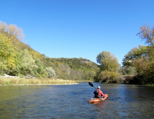
In-town park-and-play spot.
There are a couple possible playspots, depending upon flows (See Flow Info).
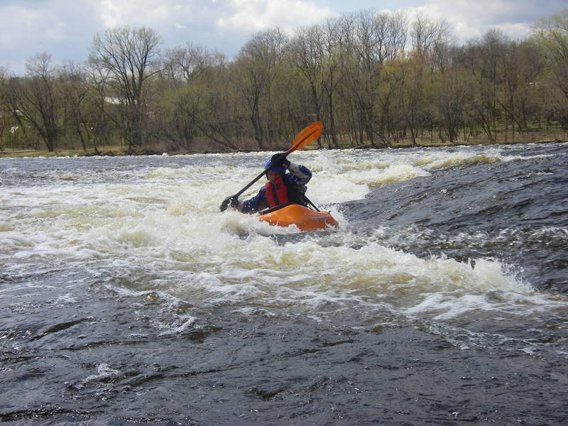
For what it's worth, assuming the date on the 'feature photo' is correct, the flow would have been in the neighborhood of 6,000 cfs.
(The mean daily flow reported for 2009-05-01 was 7120 cfs, for 2009-05-02 was 6070, and for 2009-05-03 was 5370 cfs).
Rapids in this Run (2)
Difficulty
Class II
Length
0.4 mi
Rapids
2
Access Points
Shuttle Info
From East Madison Street (immediately East of the bridge over the Chippewa River) head north on Forest Street to the City of Eau Claire Public Works / Utility buildings (red concrete buildings on west side of street).
Either:
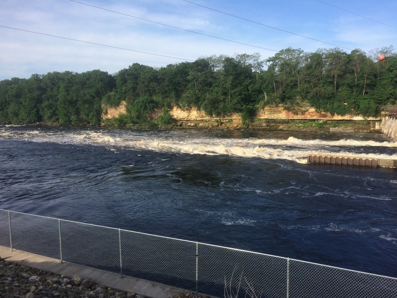
Option#1) Park in large dirt parking lot just south of the first red building. Walk along river up to the Ledge Drop.
--OR--
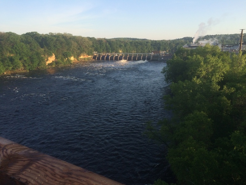
Option#2) Turn left into 2nd driveway (between 1st and 2nd red building -- do not take first one-lane driveway south of the first building which is for Community buses). You will go past gas pumps and turn right onto the road nearest the river. You can park right next to the ledge drop or drive up to the dam. Xcel has built fisherman access stair cases down to the river.
Since this is done as a 'park-and-play', with no shuttle necessary, we have defaulted the directions to show routing from your home zipcode. You can enter your home address or other starting location in the box (you can enter address/city/state, just city/state, just zipcode, or lat/long in any format) to get driving time, distance, and directions to this location.
Difficulty Classes
I Easy
II Novice
III Intermediate
IV Advanced
V Expert/Extreme
VI Unrunnable
Current Conditions
5-Day Forecast
Whitewater data from
American Whitewater
American Whitewater