D) Goodman Park to Otter Creek (8.9 miles)
Gauge Conditions
Runnable: ? – ? CFS
Approximate reading: This gauge is 9.2 miles away on Peshtigo. Use as a general reference only.
Data from American Whitewater & USGS
Run Map
Interactive run map
Loads as you approach this section.
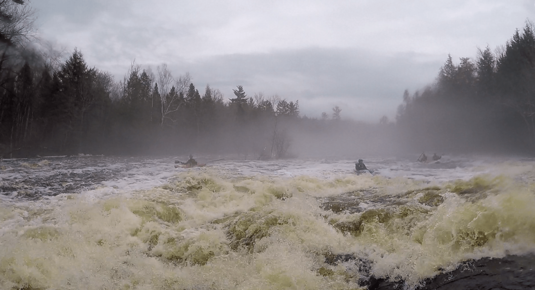
Description
This is a relatively infrequently boated reach, due to the fact that there are fewer rapids compared to reaches upstream and the far more popular "Roaring Rapids" reach downstream.
Rapids in this Run (2)
Difficulty
Class I-II
Length
9.0 mi
Gradient
5 ft/mi
max 19
Rapids
2
Access Points
Difficulty Classes
I Easy
II Novice
III Intermediate
IV Advanced
V Expert/Extreme
VI Unrunnable
Current Conditions
5-Day Forecast
Whitewater data from
American Whitewater
American Whitewater