E.Taus Rd to CTH.T (4.5 miles)
Gauge Conditions
Runnable: ? – ? CFS
Approximate reading: This gauge is 8.8 miles away on Branch. Use as a general reference only.
Data from American Whitewater & USGS
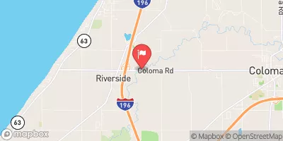
Run Map
Run Time Estimate
Select put-in and take-out to estimate time.
Plan This Trip
See wind-adjusted speed maps, forecast planning, and detailed time estimates.
Sign in to generate an AI timing estimate for this run.
Whitewater timing varies with scouting, portages, and group pace. Use as a planning baseline.
Description
Quick Facts:
Location: Approximately 12 miles nw from downtown Manitowoc, WI.
Put-in: 44.1890, -87.8514
Take-out: 44.1802, -87.8016
Shuttle Length: 3.1 miles.
Character: Small creek with mud/gravel/cobble river-bed; expect some deadfall and snags.
Put-in is approximately 792' elevation.
Take-out is approximately 730' elevation.
Thus total elevation change is approximately 62'.
General Overview
This stretch of river makes a very pleasant swiftwater or beginners whitewater run. There are no significant drops, but gradient is relatively continuous and mild, making an enjoyable run.
At moderate or higher flows, be very vigilant about looking ahead for snags or strainers (down trees in the water) and avoid them at all costs.
Special Note: The real HUC for this reach should be 04030101. It has been 'faked' below to allow this reach to 'sort' (when listing is pulled up 'by drainage') into the 'Southwestern Lake Michigan' rivers, rather than the already bloated list of 'Northwestern Lake Michigan' rivers.
Rapids in this Run (2)
Difficulty
Class I(II)
Length
4.5 mi
Gradient
15 ft/mi
max 20
Rapids
2
Access Points
Difficulty Classes
I Easy
II Novice
III Intermediate
IV Advanced
V Expert/Extreme
VI Unrunnable
Current Conditions
5-Day Forecast
Whitewater data from
American Whitewater
American Whitewater