Elk Meadows Bridge to Mormon Creek Bridge
No sufficiently local live gauge linked. 1 automated match was excluded because the closest is 93.8 miles away. Difficulty and route details are not current water conditions.
Run Map
Description
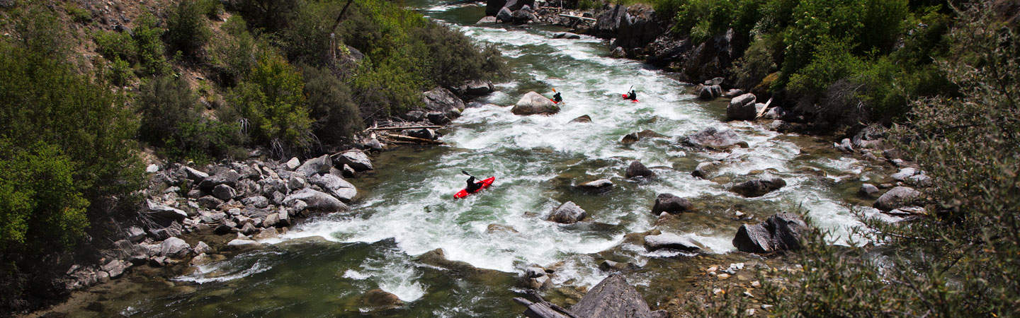
Mostly gentle class 1-2 with some logs and low bridges, in and out of view of the highway. One nice class 3 rapid about half-way. Excellent views and wildlife (60 elk)
Rapids in this Run (1)
Difficulty
Class III
Length
6.9 mi
Rapids
1
Access Points
Difficulty Classes
I Easy
II Novice
III Intermediate
IV Advanced
V Expert/Extreme
VI Unrunnable
Current Conditions
5-Day Forecast
Whitewater data from
American Whitewater
American Whitewater