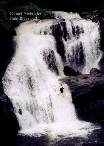
F.S. 126 bridge to Bald River Falls
Gauge Conditions
Runnable: 3.5 – 4.5 FT
Data from American Whitewater & USGS
Run Map
Run Time Estimate
Select put-in and take-out to estimate time.
Plan This Trip
See wind-adjusted speed maps, forecast planning, and detailed time estimates.
Sign in to generate an AI timing estimate for this run.
Whitewater timing varies with scouting, portages, and group pace. Use as a planning baseline.
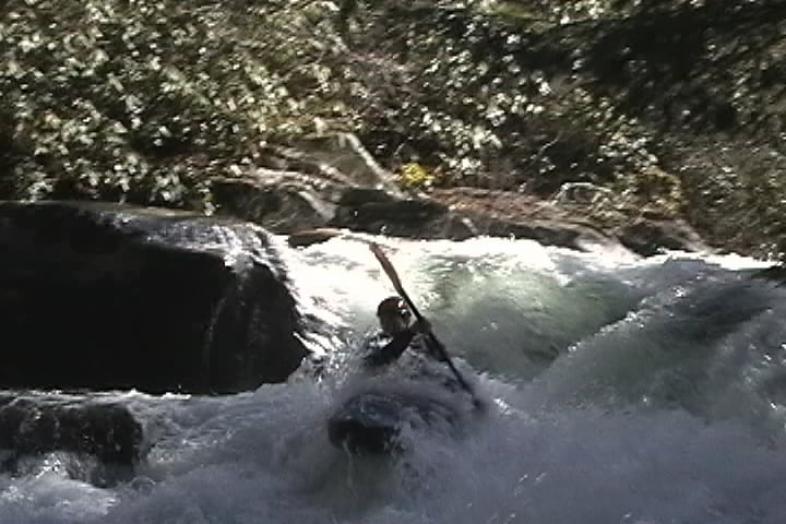
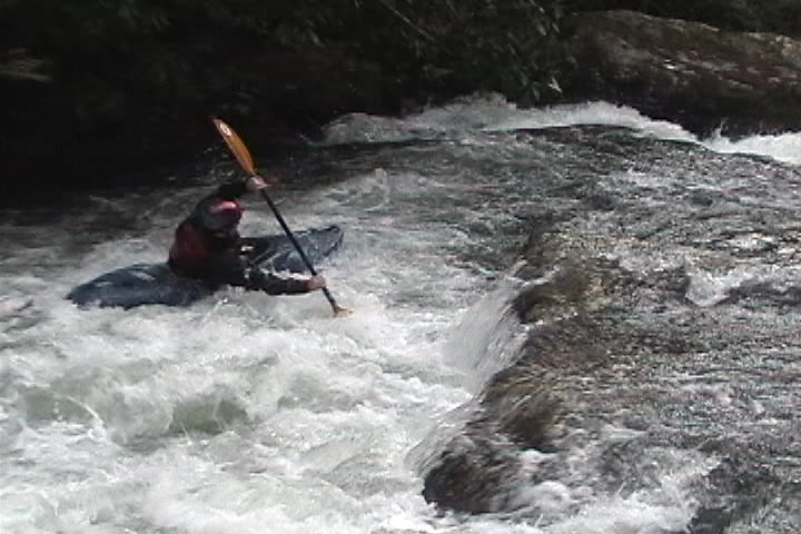
Description
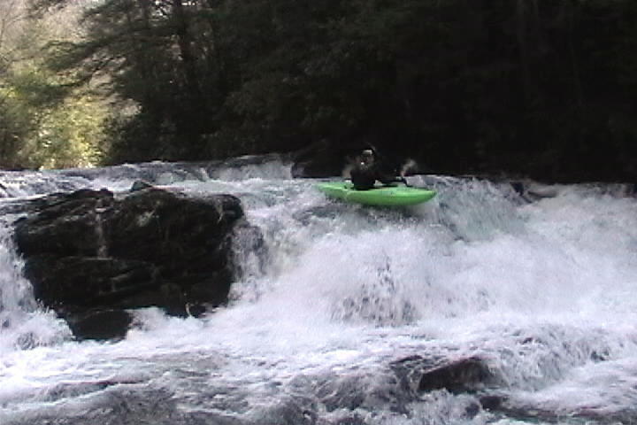
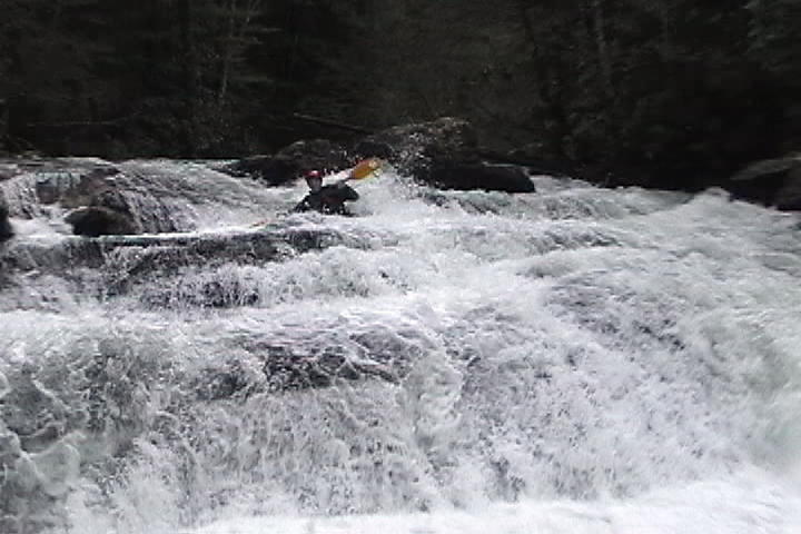
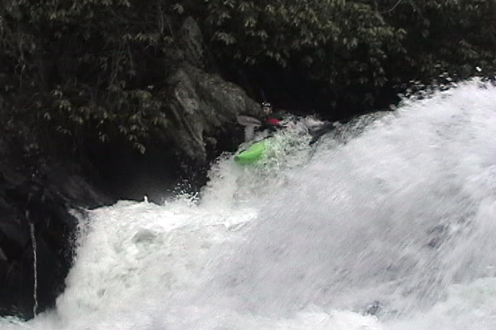
Bald River is a tight creek complete with numerous strainers and jagged rocks in the streambed. Boaters running this creek should absolutely know where Bald River Falls is. There is a very obvious picnic area on river right with lots of flatwater providing ample time to get out. Do not continue past this point or you risk being swept over Bald River Falls.
The full run consists of a couple class IV/V rapids with tons of class I-II in between, making an all-day adventure, but what a beautiful trip! Or ... as noted in a comment below, you can forego the first two listed falls/rapids and get the best action by just doing a hike-up for the final 3/4ths mile or so.
PLEASE NOTE: There is a pile of trees (beaver dam) which blocks the entire river about midway through the full trip. This pileup could be run on river-right at high water but the safest choice is to portage. At higher flows one could be pushed into this pile-up quickly, so be careful. Be on the lookout on river right for lots of trees that are in the process of being downed by beavers. Just around the next bend is the major pile-up, take action accordingly.
Rapids in this Run (5)
Hazards & Portages (2)
Caution: The following locations may require scouting or portaging. Always check current conditions.
Difficulty
Class II-IV(V)
Length
4.6 mi
Gradient
100 ft/mi
Rapids
5
2 Hazards
Access Points
Difficulty Classes
I Easy
II Novice
III Intermediate
IV Advanced
V Expert/Extreme
VI Unrunnable
Current Conditions
5-Day Forecast
Whitewater data from
American Whitewater
American Whitewater