F) Spring Rapids: Johnson Falls Rd to Schaeffer Rd (7.8 miles)
Gauge Conditions
Data from American Whitewater & USGS
Run Map
Interactive run map
Loads as you approach this section.
Run Time Estimate
Select put-in and take-out to estimate time.
Plan This Trip
See wind-adjusted speed maps, forecast planning, and detailed time estimates.
Sign in to generate an AI timing estimate for this run.
Whitewater timing varies with scouting, portages, and group pace. Use as a planning baseline.
Description
Seldom run (but popular fly-fishing) reach. Possible alternative take-out from the end of Kirby Lake Rd would eliminate 2.4 miles of lower gradient, shortening the run to 5.4 miles.
Rapids in this Run (1)
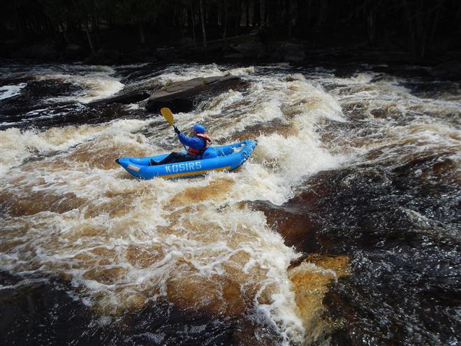
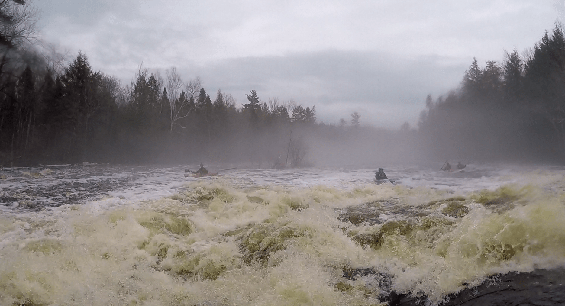
Playspots (2)
Difficulty
Class I-II
Length
5.7 mi
Gradient
7 ft/mi
max 22
Rapids
1
Access Points
Difficulty Classes
I Easy
II Novice
III Intermediate
IV Advanced
V Expert/Extreme
VI Unrunnable
Current Conditions
5-Day Forecast
Whitewater data from
American Whitewater
American Whitewater