Falls Creek to Skagit River confluence
Gauge Conditions
Runnable: 400.0 – 700.0 CFS
Data from American Whitewater & USGS
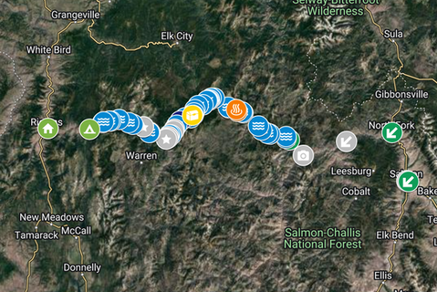
Run Map
Run Time Estimate
Select put-in and take-out to estimate time.
Plan This Trip
See wind-adjusted speed maps, forecast planning, and detailed time estimates.
Sign in to generate an AI timing estimate for this run.
Whitewater timing varies with scouting, portages, and group pace. Use as a planning baseline.
Description
NOTE: If you put in all the way at the top of the Bacon at the bridge you will be just above and slightly out of sight of the class V cascades.
If you are here for the Class II-III paddling DO NOT use the bridge unless you find extremely arduous portages fun.
Put in downstream.
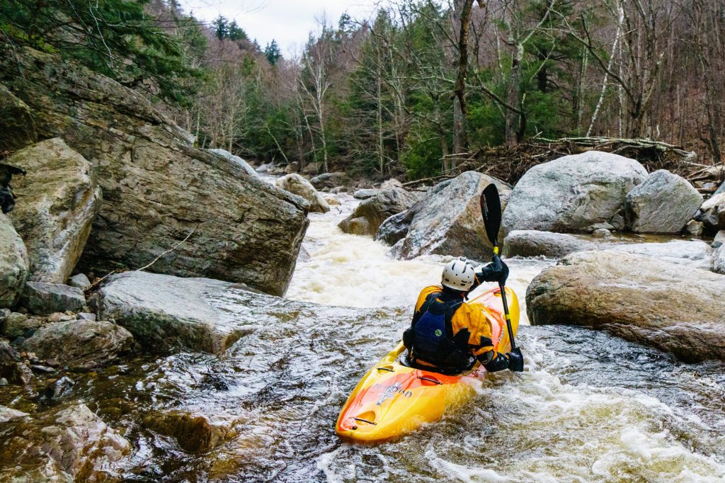
The Bacon is a curious creek for the Northern Cascades and Skagit River valley. Most of it is class II-III but there is a huge set up rapids at the top of the river.
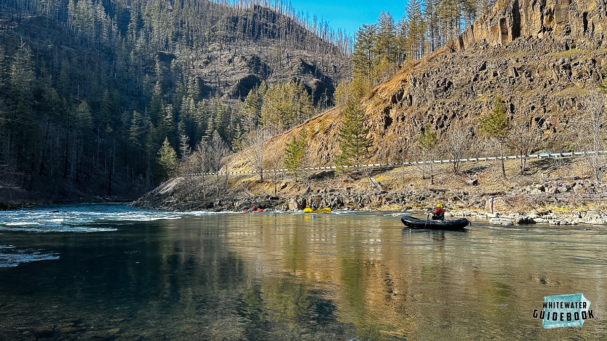
It is amazingly beautiful and feels isolated with the isolation being somewhat artificial because hiking up the valley/gorge to the road on river left is almost always an option. The majority of the river can handle some large flows and run both with winter rains and summer or spring snowmelt.
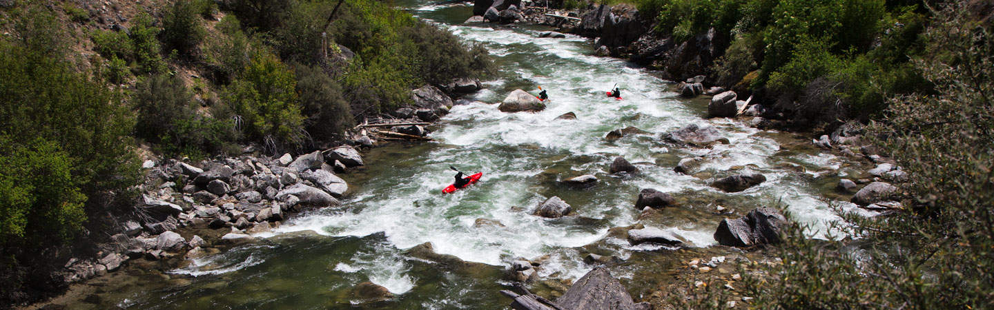
The other 5+ miles of the Bacon are a wonderful Class II-III float with a few exciting rapids. The majority of the Bacon is a beautiful boulder field filled river with crystal clear water.
So how do you access this river without class V skills or a terrible portage?
There are two good options.
The first is to drive up Bacon Rd. (FR 1060) from the Skagit until you are approximately 3 from the hwy. You will have just driven through a small side stream on the dirt road. There will be a spur off the forest service road that drops down to the left. Take this down to the dead end and unload. The dirt road used to be longer and washed out just past the dead end. Walk your boat straight along the now overgrown road bed to a small creek (~50 feet from the roads end). Walk down the creek ~50-80 feet to the river. This put in allows you to access around 2.3 miles of the Bacon. It is just above one of the more entertaining sections.
The second and probably best option for anyone looking to get a full float out of this is the access the river below the big cascades at the top. Drive about 4.5 miles on the main Bacon Rd. and don’t take that spur on the left. Before you arrive at the bridge and just downstream of the cascades the road has a gravel section from a large flood and landslide across the road where one of the usually dry side creeks crosses it. The road is still covered in large gravel and the site is very noticeable. There is also a nice roadside camp/pullout/turn around just before the gravel. This is near (48.64397, -121.42336). Hiking downhill along the gravel washout is a very simple option. The distance is about 500 feet with no big drops or fallen trees to scramble over. This access puts you at the bottom of the last real rapid in the cascades. It would give class II-III boaters the option to boat the beautiful river and not deal with the monster rapid at the top. Adventurous boaters can easily walk upstream and ferry to run some of the smaller rapids on the cascades. Technically a die hard class V boater could hike up here to not bother with the rest of the run and just do laps on the big rapid.
Here is the conundrums for the Bacon. The easiest access point is a bridge on Bacon Rd. The bridge is basically the end of the road. Just downstream of this bridge is a series of huge rapids that easily run in the class IV-V category. They include waterfalls, rock jumbles, and some huge holes. The lines are tight and while beautiful and challenging the rapids are also only a short section of the river. There is likely less than a half mile of big stuff and this makes hitting the Bacon a hard choice for serious boaters who have other options.
Rapids in this Run (4)
Waterfalls (1)
Hazards & Portages (1)
Caution: The following locations may require scouting or portaging. Always check current conditions.
Difficulty
Class II-III(V)
Length
5.3 mi
Gradient
38 ft/mi
Rapids
4
1 Hazard
Access Points
Difficulty Classes
I Easy
II Novice
III Intermediate
IV Advanced
V Expert/Extreme
VI Unrunnable
Current Conditions
5-Day Forecast
Whitewater data from
American Whitewater
American Whitewater