Fishing Site #1 Road to unnamed road/campground (6.85 miles)
Gauge Conditions
Runnable: ? – ? CFS
Approximate reading: This gauge is 17.7 miles away on Net. Use as a general reference only.
Data from American Whitewater & USGS
Run Map
Interactive run map
Loads as you approach this section.
Run Time Estimate
Select put-in and take-out to estimate time.
Plan This Trip
See wind-adjusted speed maps, forecast planning, and detailed time estimates.
Sign in to generate an AI timing estimate for this run.
Whitewater timing varies with scouting, portages, and group pace. Use as a planning baseline.
Description
The put-in is marked on topo maps as "Boat Ramp", and "Fishing Site#1".
The take-out is marked on topos as "CAMPSITE".
Various marked rapids (unnamed, at least on maps) plus a couple named rapids and a named falls (really much more of a chute/rapids) populate this stretch.
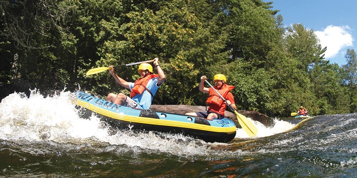
Expect this to be a flatwater trip, punctuated by (mostly brief) areas of rapids. (But, then, doesn't that describe so many Upper Midwest whitewater rivers?)
Rapids in this Run (12)
Rapid
USGS sampling site, W.Br.
Rapid
USGS sampling site
Rapid
I
First Narrows
Rapid
II
Second Narrows
Rapid
I
Third Narrows
Rapid
II
Fourth Narrows
Rapid
II+
Fifth Narrows / Chipmunk Falls
Rapid
NOT Chipmunk Falls
Rapid
I
Net River Road
 Rapid
Rapid
Net River Road
Rapid
I
"Snake Rapids"
Rapid
II
Snake Rapids (really)
Difficulty
Class I-II
Length
7.1 mi
Gradient
6 ft/mi
max 10
Rapids
12
Access Points
Shuttle Info
As listed by GoogleMaps, this shuttle is more than 50 minutes (each way). We highly recommend meeting at take-out, gearing up, swapping boats and boaters to as few vehicles as possible (to leave 'drop vehicles' there), then driving to put-in to run river. This gets you on water without the delay which would result from meeting at put-in, having to run shuttle down and back up (while some boaters wait an hour-and-a-half to two hours) before putting on river!
Difficulty Classes
I Easy
II Novice
III Intermediate
IV Advanced
V Expert/Extreme
VI Unrunnable
Current Conditions
5-Day Forecast
Whitewater data from
American Whitewater
American Whitewater