Foot Bridge to Road Bridge (Hike In)
Gauge Conditions
Runnable: 350.0 – 2,500.0 CFS
Data from American Whitewater & USGS
Run Map
Run Time Estimate
Select put-in and take-out to estimate time.
Plan This Trip
See wind-adjusted speed maps, forecast planning, and detailed time estimates.
Sign in to generate an AI timing estimate for this run.
Whitewater timing varies with scouting, portages, and group pace. Use as a planning baseline.
Description
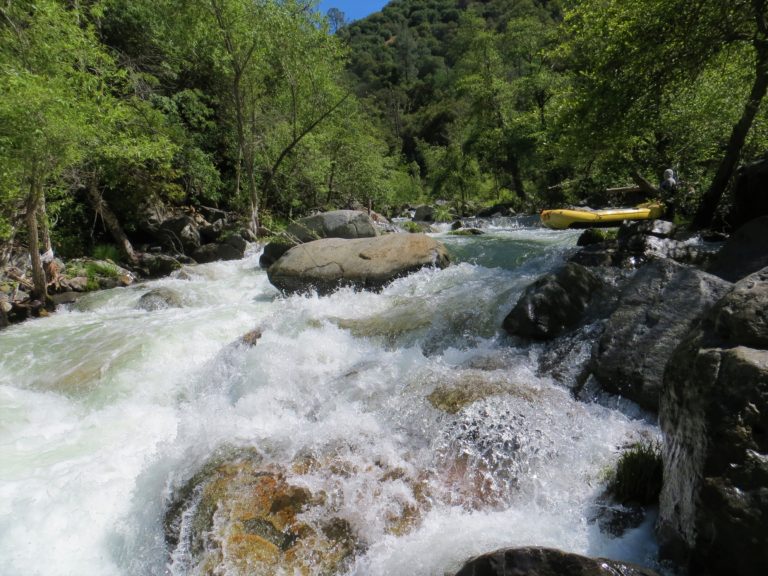
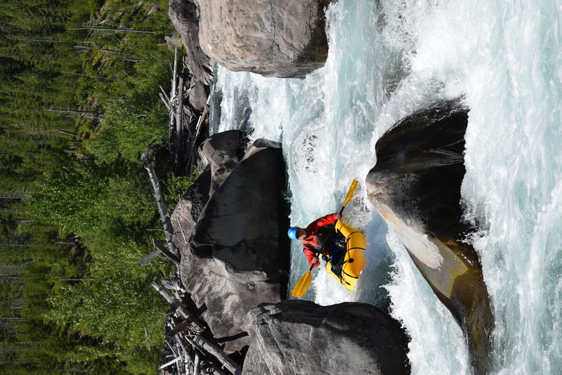
The North Fork of the Blackfoot is a Missoula area creeking staple for those willing to hike. It offers kayakers and packrafters a long season, excellent whitewater and scenery, and a character that changes dramatically with flows. At low flows (200-650) it offers really nice Class III/IV creek boating and ideal advanced packrafting. At medium flows (650-1200) The North Fork is creeky but powerful class IV with one V-. Flows over 1,200 result in a big water feel and it becomes a big fast wave train with some vital hole and wood dodging. Lower water runs should watch out for abundant/excessive fly fishing traffic, who are often not on the lookout for boats.
As you hike up, the whitewater ends 1/3 of a mile above the pack bridge. The N Fork from there to the next pack bridge just above the Dry Fork confluence is class II-. The steep (~700 feet/mile) gorge below North Fork Falls is V/V+ and can be accessed via the steep and loose gully on the north side, just west of the side trail to the fall lookout.
The N Fork above the falls is floatable all the way to Carmichael in the late spring and early summer, and offers fast and nervous floating with lots of wood, willows, and a few beefy bedrock drops.
Rapids in this Run (2)
Difficulty
Class IV
Length
5.3 mi
Rapids
2
Access Points
Difficulty Classes
I Easy
II Novice
III Intermediate
IV Advanced
V Expert/Extreme
VI Unrunnable
Current Conditions
5-Day Forecast
Whitewater data from
American Whitewater
American Whitewater