FR 39 Bridge to NF Nooksack
Gauge Conditions
Runnable: ? – ? CFS
Approximate reading: This gauge is 4.4 miles away on Glacier Creek. Use as a general reference only.
Data from American Whitewater & USGS
Run Map
Run Time Estimate
Select put-in and take-out to estimate time.
Plan This Trip
See wind-adjusted speed maps, forecast planning, and detailed time estimates.
Sign in to generate an AI timing estimate for this run.
Whitewater timing varies with scouting, portages, and group pace. Use as a planning baseline.
Description
ACCESS: Take-out at a campground on Glacier Creek Road (FR 39) to avoid extra wood or the Highway 542 bridge in Glacier just above the confluence with the North Fork Nooksack. It's an easy shuttle on Glacier Creek Road (FR 39) which parallels river right and crossing the river at the put-in bridge approximately 3.5 miles upstream.
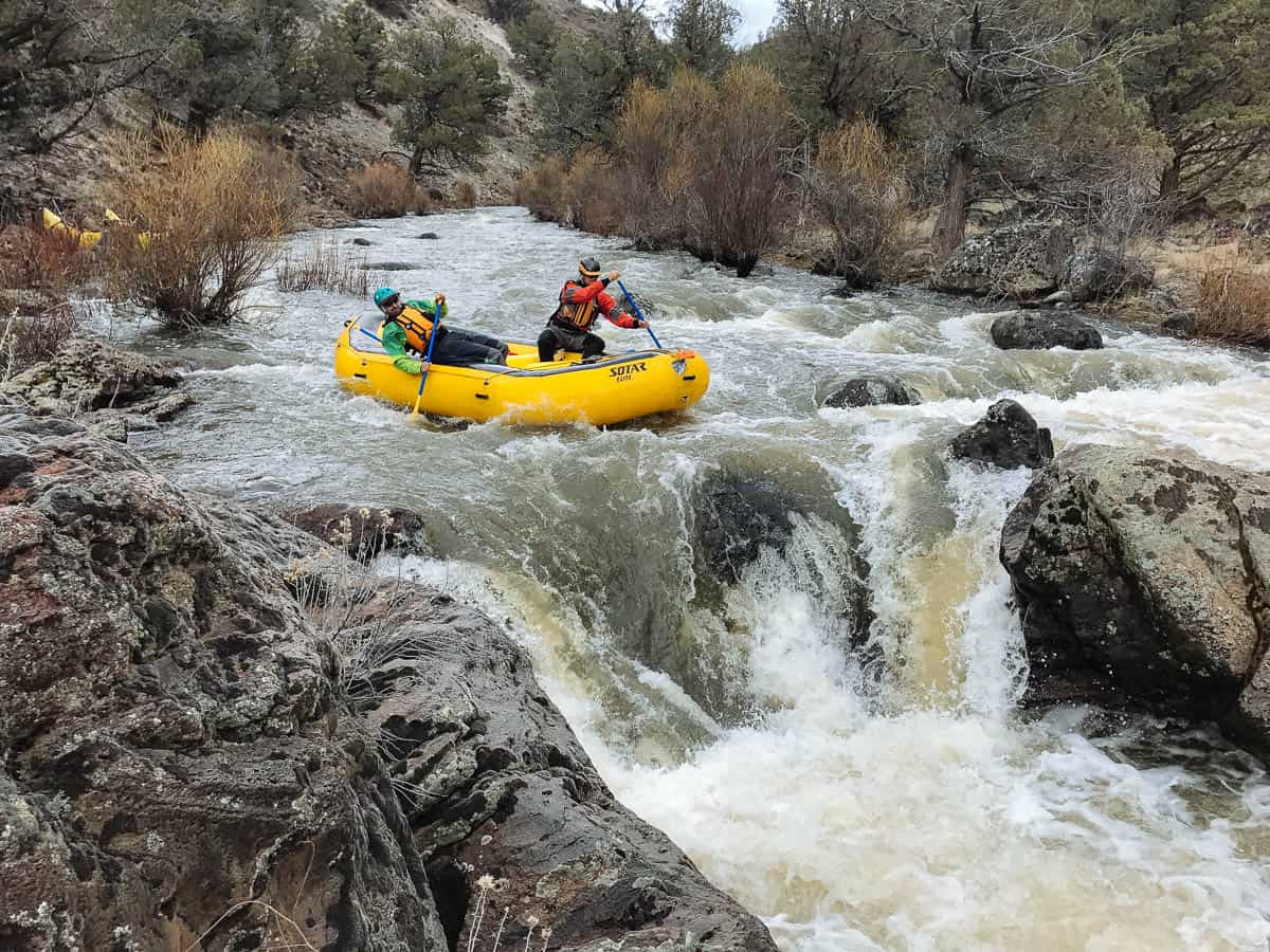
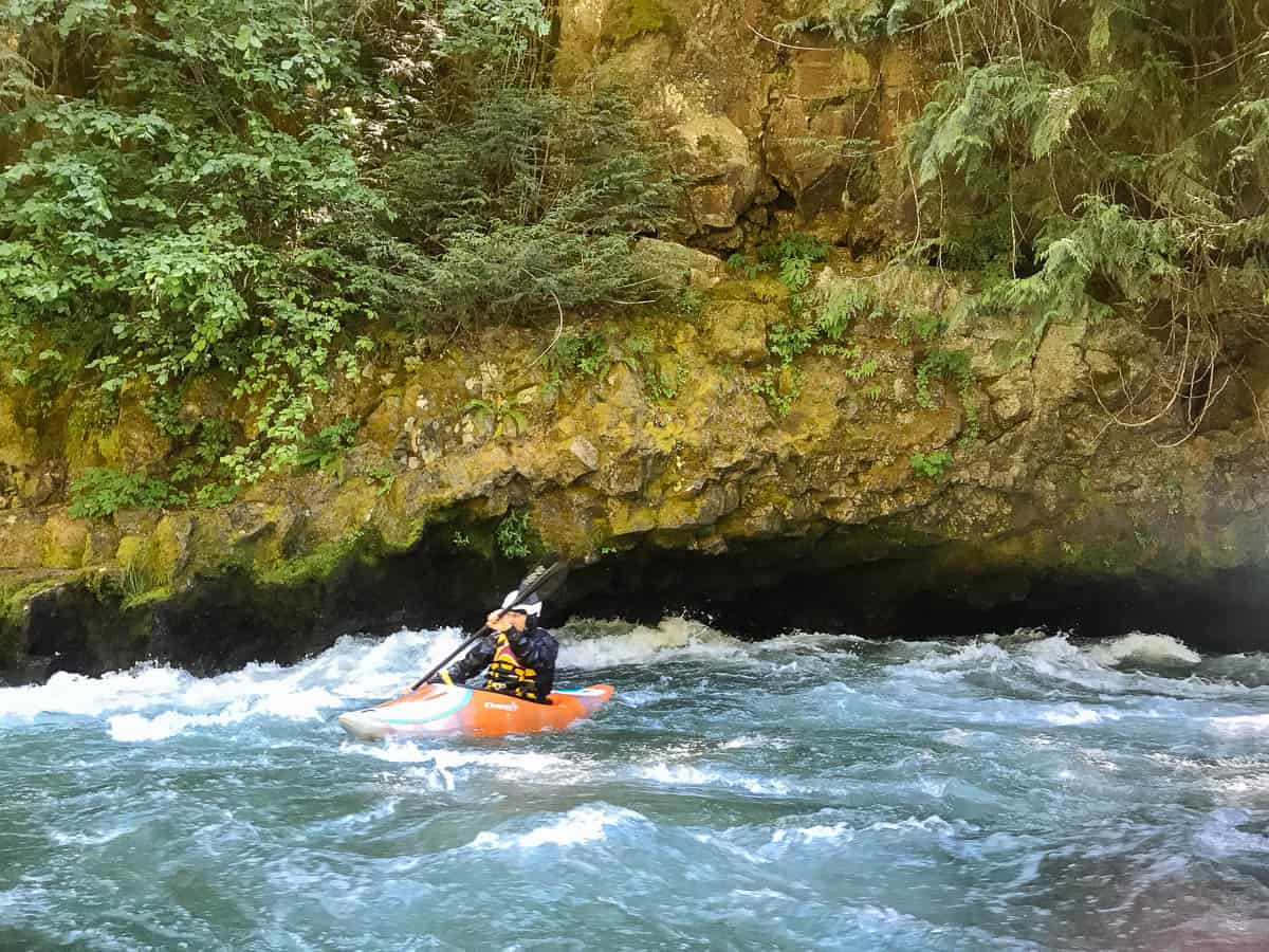
A cold glacier fed creek that in 2024 was remarkably free of most wood. There were ~4 mandatory wood portages but even with the Class 3-4 rating have the skills to catch eddies above any drop. Do not boat beyond your line of sight unless you know the run is clear.
Glacier creek starts at the bridge with a tight rapid and a follow up near an overhung cliff on the left. About 100 yards downstream from the bridge is the single largest drop on the creek just at a small island. The ledge on river right has a few places with poor landing zones but some good spots at the right flow. The left side of the island is tight and could have wood in it sometimes. From here through the next mile the river picks up steam but is consistently Class 3. After a small creek confluence on the left and a major tree portage the longest and probably hardest rapid runs for almost 100 yards. It is probably class 4+ and has several hazards from pins, small undercuts, and probably wood. After the long hard rapid the creek starts to ease out. Once the canyon walls pull back the major whitewater is done and you are very likely to run into a huge log jam. Carry on river right and boat down a couple hundred yards of Class 2 stuff to the takeout on river right.
DESCRIPTION:
for additional information see:
- Glacier Creek exploratory trip report 2 JUN 2002 on on Cascade Classics.
Rapids in this Run (1)
Waterfalls (1)
Hazards & Portages (1)
Caution: The following locations may require scouting or portaging. Always check current conditions.
Difficulty
Class III-IV
Length
3.5 mi
Gradient
175 ft/mi
Rapids
1
1 Hazard
Access Points
Difficulty Classes
I Easy
II Novice
III Intermediate
IV Advanced
V Expert/Extreme
VI Unrunnable
Current Conditions
5-Day Forecast
Whitewater data from
American Whitewater
American Whitewater