Freedom Pond to Unity Pond
Gauge Conditions
Runnable: ? – ? CFS
Approximate reading: This gauge is 7.4 miles away on Sandy Stream. Use as a general reference only.
Data from American Whitewater & USGS
Run Map
Interactive run map
Loads as you approach this section.
Description
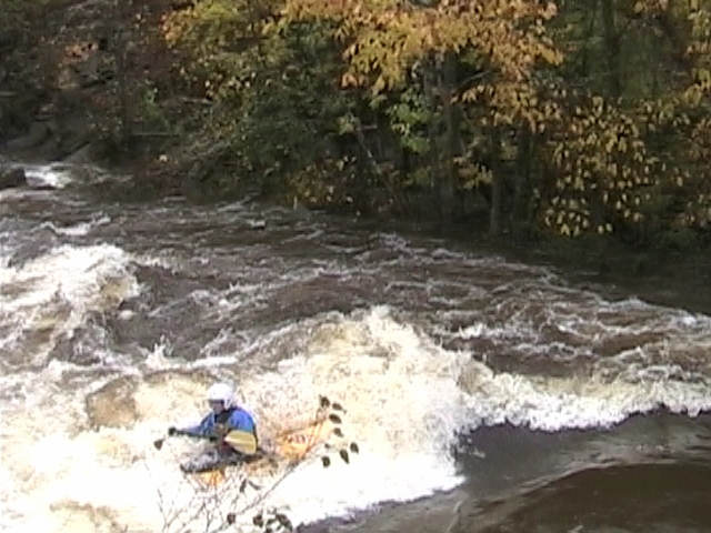
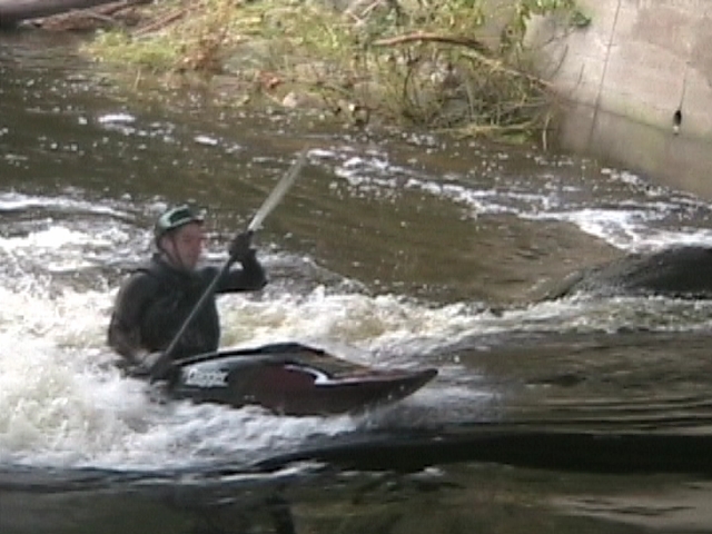
Sandy Stream is a nice stretch of class II and III water when there is lots of rain or a lot of snowmelt. There are 3 main rapids which give the intermedate kayaker or whitewater canoeist a challenge.
Note: though the reach description says "Freedom Pond to Unity Pond," there doesn't seem to be much gradient below the town of Unity, so the listed takeout coordinates are a road in town. Those who can't find a good takeout there, or who wish another mile of paddling, should head downstream to the pond.
_Lat/longitude coords are approximate, from online maps._
Rapids in this Run (2)
Playspots (1)
Difficulty
Class II-III
Length
9.5 mi
Rapids
2
Access Points
Difficulty Classes
I Easy
II Novice
III Intermediate
IV Advanced
V Expert/Extreme
VI Unrunnable
Current Conditions
5-Day Forecast
Whitewater data from
American Whitewater
American Whitewater