Glendale to Goldmine Rd.
Gauge Conditions
Runnable: 200.0 – 1,000.0 CFS
The range is for the rapids of Glendale Shoals and of Little Five Falls; the flat water has no known upper limit
Data from American Whitewater & USGS
Run Map
Run Time Estimate
Select put-in and take-out to estimate time.
Plan This Trip
See wind-adjusted speed maps, forecast planning, and detailed time estimates.
Sign in to generate an AI timing estimate for this run.
Whitewater timing varies with scouting, portages, and group pace. Use as a planning baseline.
Description
The Lawsons Fork is a great whitewater resource for paddlers in the Spartanburg area. This creek flashes quickly during big rain events, but offers one short, relatively steep section that is runnable down to low flows.
This river has approximately 14 runnable miles, from the base of the Whitney dam on Hwy 221 in north Spartanburg to the take out at Goldmine Road, just prior to its confluence with the Pacolet River, east of Spartanburg.
The upper two-thirds is comprised of flat water interspersed with the occasional class II rapid. Most people, however, opt for the final 4.5 miles which has the best gradient: this section is known for Glendale Shoals at the beginning of the run and for Little Five Falls near the end.
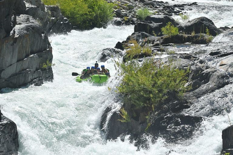
The best stretch is Glendale Shoals, a 250 yard long set of rapids that falls about 25 to 30 feet (extrapolated 180+ ft/mile). It starts at the base of the dam at Glendale and culminates in a five-foot drop called Lawson's Dawg. Hit your boof, and you'll be back for more. Many laps can be had here.
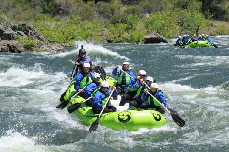
Those folks continuing past Glendale Shoals are met with a quiet stretch of river that averages a gradient of less than 20ft/mile. The next few miles past Glendale have some small rapids and offer some great eddy lines and outstanding waves during higher flows.
At just under 2.0 miles, you'll float under the decaying truss of an abandoned bridge. You'll pass a clearing at mile 2.5 and another set of clearings (natural gas rights of way) at mile 2.8. At about 3.5 miles, Little Five Falls begins, your reward for enduring the flat water upstream.
Here, five rapids come in quick succession. At low flows, pick a line. At higher levels the final four rapids can merge into a class III boogie feature with some near river-wide ledge holes, so scout accordingly.
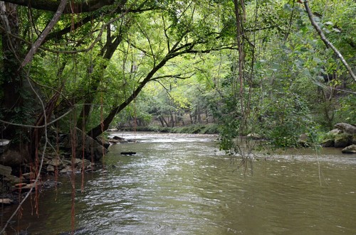
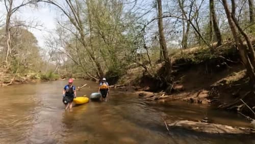
Watch out for strainers and wood on this section. Lawsons Fork is heavily forested the entire run and offers a scenic tour of high bluffs, mountain laurel, rocky shoals, and a nice respite from the work-day blues.
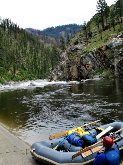
Put-in: below the old mill dam at Glendale, South Carolina, several miles east of Spartanburg. Park in the pullout, scout the top part of the run from the old bridge, then take the stairs to the river. Visiting the bridge just to view the rapids is a worthwhile endeavor in its own right. If the level is too high to run the Shoals, head downstream to the next pull out. There you'll find a posted river guide sign and room for several cars.
Take out: immediately after passing under the bridge at Goldmine Road on river right less than half of a mile after the last rapid.
Rapids in this Run (7)


Difficulty
Class I-III
Length
4.4 mi
Gradient
20 ft/mi
Rapids
7
Access Points
Shuttle Info
Take out: from the put in, travel downstream on Emma Cudd Road. At about 2 miles, Emma Cudd intersects Bethesda Road. Turn left onto Bethesda and travel about 1.4 miles to Goldmine Road. Turn left onto Goldmine and follow it about .5 mile to the parking area on the right just before the bridge.
Difficulty Classes
I Easy
II Novice
III Intermediate
IV Advanced
V Expert/Extreme
VI Unrunnable
Current Conditions
5-Day Forecast
Whitewater data from
American Whitewater
American Whitewater