Grant Park Red trail to Grant Peak or playgorund
Gauge Conditions
Runnable: 2.7 – 8.0 FT
3 feet is a good minimum 8 is lethal
Data from American Whitewater & USGS
Run Map
Run Time Estimate
Select put-in and take-out to estimate time.
Plan This Trip
See wind-adjusted speed maps, forecast planning, and detailed time estimates.
Sign in to generate an AI timing estimate for this run.
Whitewater timing varies with scouting, portages, and group pace. Use as a planning baseline.
Description
For the majority of Ohio boaters this creek is too short for anyone to drive an appreciable distance.However on the plus side if you live near Dayton the creek can be entertaining.There are several options for access.With two cars it is simple to put in as Holes Creek flows into Grant Park and then drive down to Grant Peak or one of the children’s play parks below the cascades.The other option is to access the river at the main entrance to Grant Park and hike up the hill.It will take about 8 minutes to reach the put in.The takeout requires you ti hike back to your car or do a running shuttle of about 1.1 miles.
The put in has a small play wave at 2.7 feet but it washes out at higher flows.
The river then meanders for a hundred yards and there is a threat of downed trees.In 2011 there was one somewhat scary tree in the flat water section.
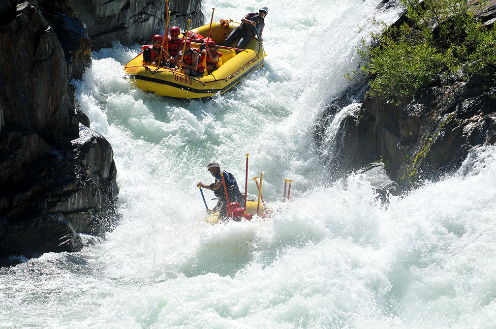
The majority of the rapids are in the “cascades section”.The river drops around 50 feet in this half mile section of somewhat gorged in river.The drops are all slides or small ledges.None are really difficult but they are continuous.The water is unfortunately somewhat poor in quality so even with cool play spots I’m not sure I would want to flip.
This is a short continuous downhill slide with ledges and waves. When the level is over 1500 cfs the rapids are AMAZING.Actually they get kind of scary with big waves, trees, and massive holes.
Be careful! Over 2000 cfs the bridge near the end will kill you.
Start at the ford where the brown/red trail crosses and heads into the "cascades" according to the park map. Takeout near the chimneys.
You can continue further downstream and there is another small ledge but the takeout is more arduous and strainers are more common.
Rapids in this Run (1)
Difficulty
Class II-III
Length
1.3 mi
Gradient
50 ft/mi
Rapids
1
Access Points
Shuttle Info
This is a fairly short reach which lies entirely within a park. Shuttle is likely to be on foot, carrying up. The (obviously a bit absurd) directions below should be ignored. However, you may wish to use the text-entry box to input your home or other starting location to get drive time, distance, and directions to the vicinity of this river/reach.
Difficulty Classes
I Easy
II Novice
III Intermediate
IV Advanced
V Expert/Extreme
VI Unrunnable
Permit Required
No
Current Conditions
5-Day Forecast
Whitewater data from
American Whitewater
American Whitewater