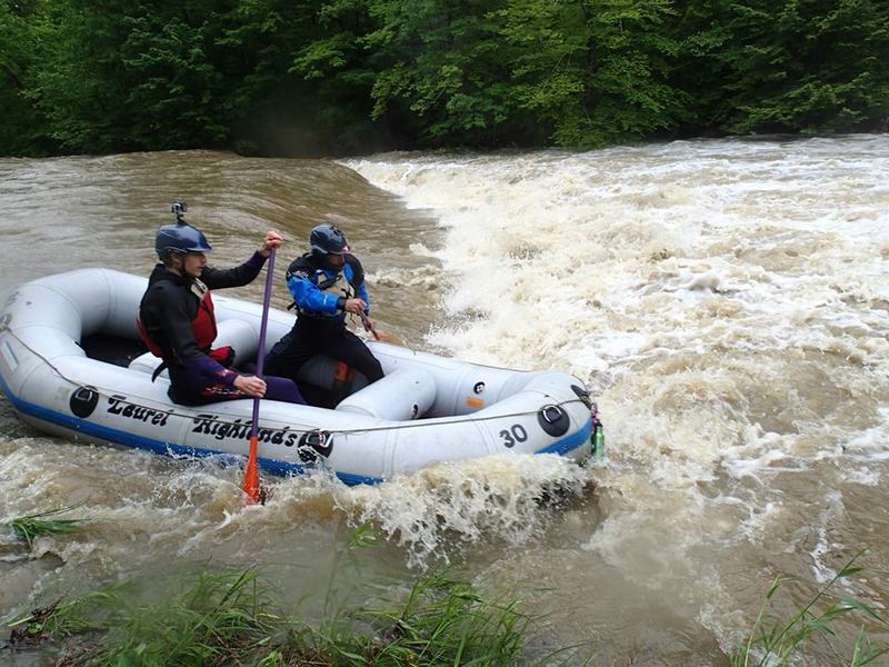
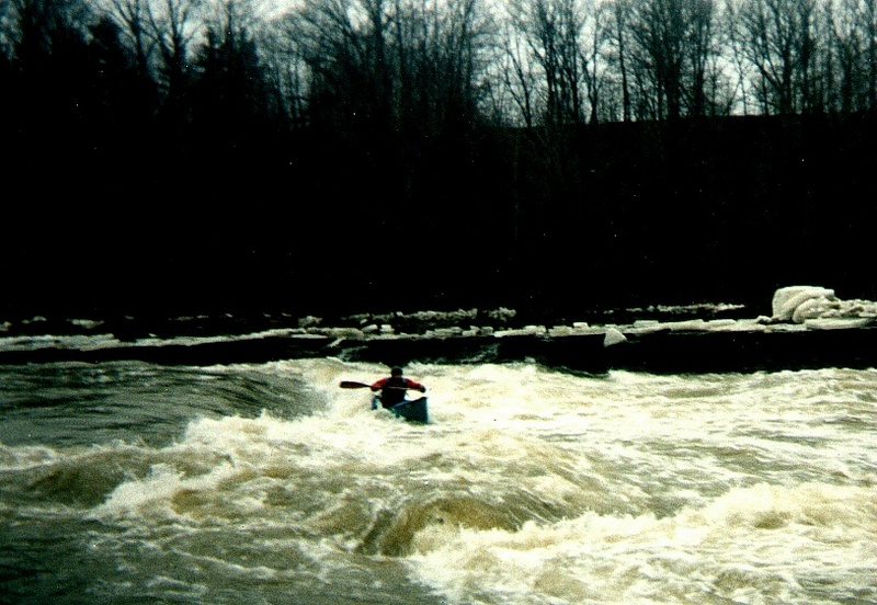
Green Hill Road to Hadlock Ford
Gauge Conditions
Runnable: 500.0 – 1,100.0 CFS
This range is just I starting point. The Ashtabula's drainage basin is extremely close to Conneaut's (12 miles due east as measured using Google Earth.) Conn
Data from American Whitewater & USGS
Run Map
Run Time Estimate
Select put-in and take-out to estimate time.
Plan This Trip
See wind-adjusted speed maps, forecast planning, and detailed time estimates.
Sign in to generate an AI timing estimate for this run.
Whitewater timing varies with scouting, portages, and group pace. Use as a planning baseline.
Description
Directions, courtesy of the _Lord of Baywatch_:
Take I-90 East (from Cleveland and Akron) to State Rte. 11; go North.
Exit 11 at Seven Hills Road; turn right.
At stop sign, turn left and cross RR tracks. At Plymouth Ridge Rd. turn right;
in about 2 or three miles reach Greenhill Road, also called Township Rte. 20.
Turn right and immediately go down the hill to the river.
If you cross the river on Plymouth Ridge you have gone too far.
Shuttle: go back up Greenhill Rd. to Plymouth Ridge, cross it, and continue.
After a bend in the road to the right will be a road on your left. Turn here and follow this road to the takeout at the ford.
Alternate takeout, at Indian Trail Park (State Rd.), adds 3 Class I-II miles to the trip.
Alternate putin, on Benetka Rd., adds 3 miles (1.5 flat, 1.5 Class I) to the trip.
Rapids in this Run (2)
Difficulty
Class II
Length
3.9 mi
Gradient
16 ft/mi
max 20
Rapids
2
Access Points
Difficulty Classes
I Easy
II Novice
III Intermediate
IV Advanced
V Expert/Extreme
VI Unrunnable
Current Conditions
5-Day Forecast
Whitewater data from
American Whitewater
American Whitewater