Hogsback Road to Cone Grove Road
Gauge Conditions
Runnable: ? – ? CFS
Approximate reading: This gauge is 12.6 miles away on Antelope Creek. Use as a general reference only.
Data from American Whitewater & USGS
Run Map
Run Time Estimate
Select put-in and take-out to estimate time.
Plan This Trip
See wind-adjusted speed maps, forecast planning, and detailed time estimates.
Sign in to generate an AI timing estimate for this run.
Whitewater timing varies with scouting, portages, and group pace. Use as a planning baseline.
Description
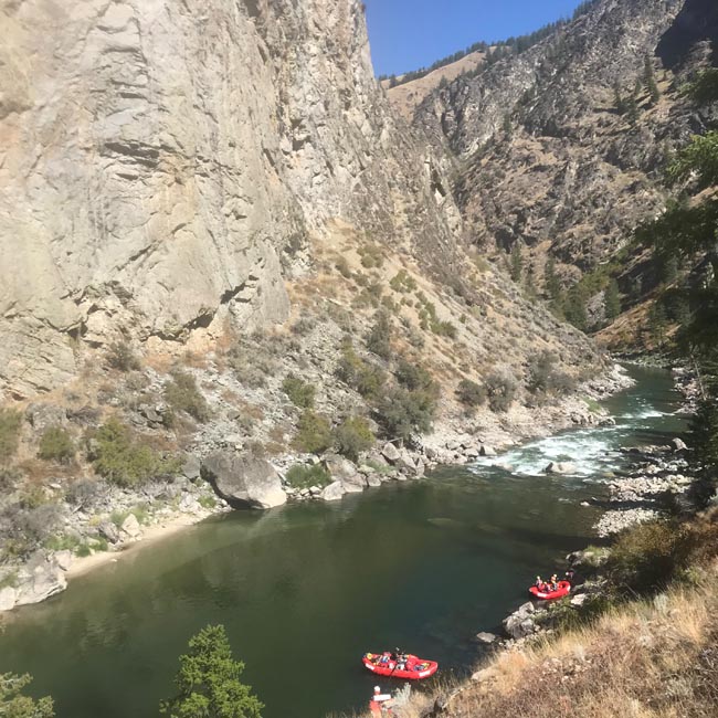
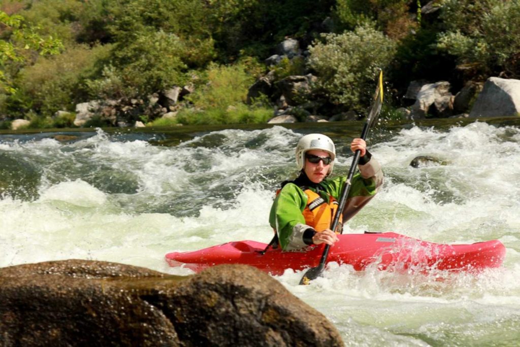
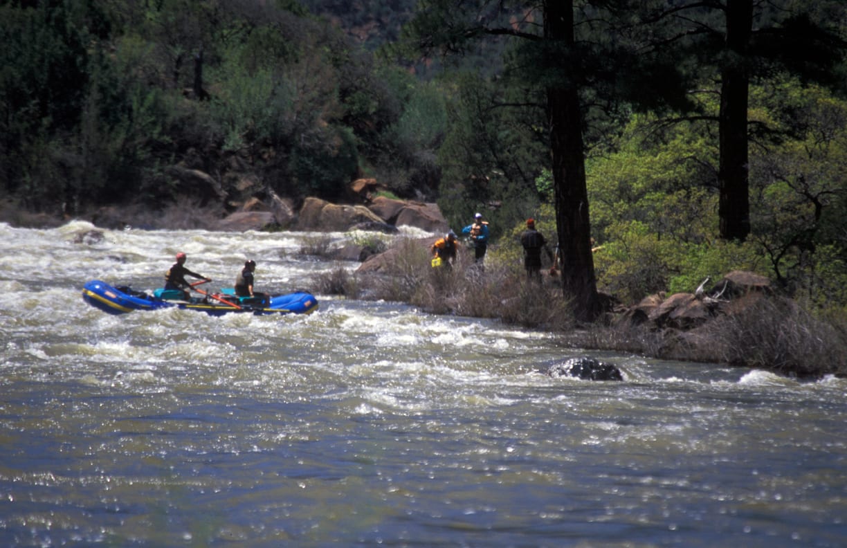
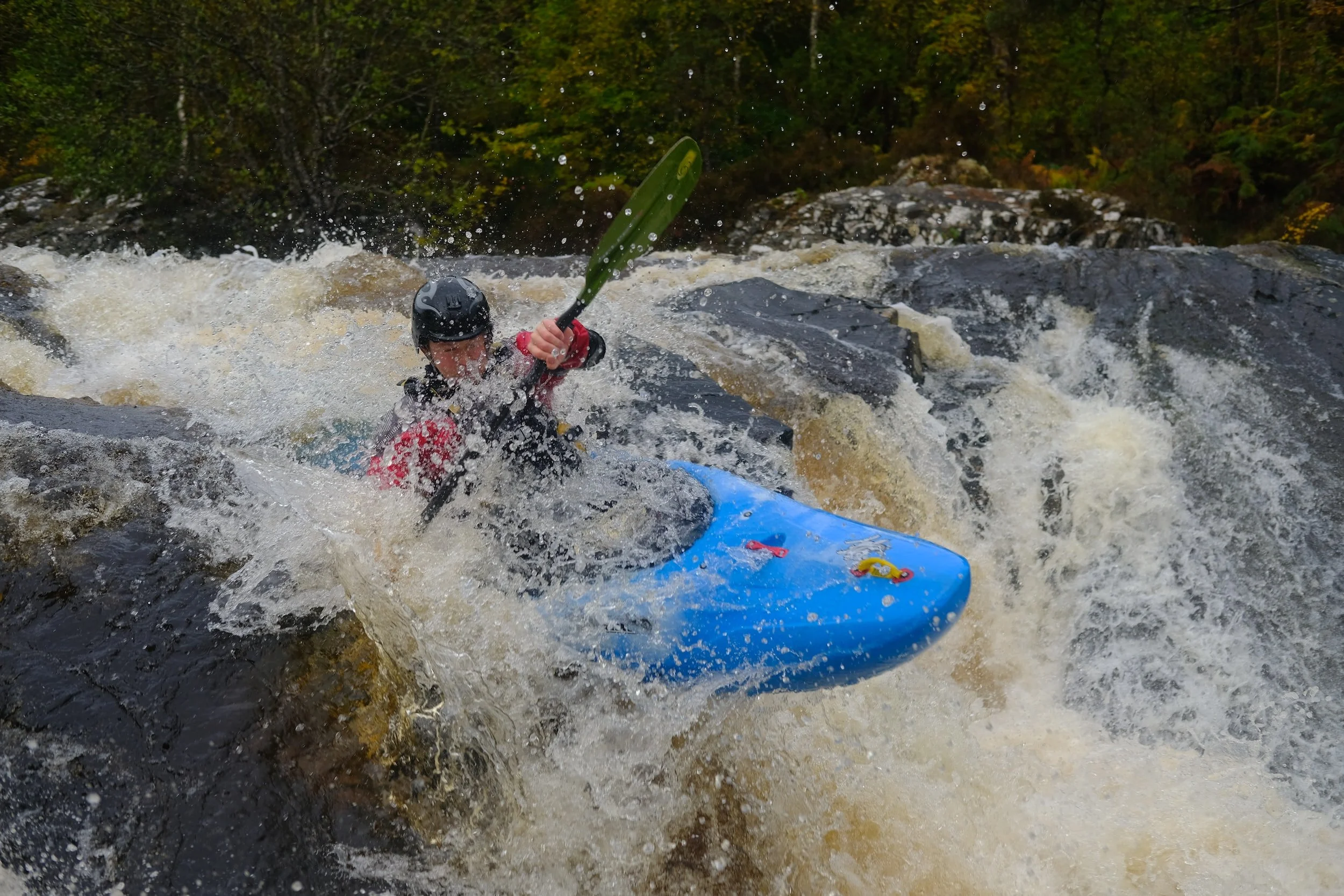
Antelope Creek is like a mini Deer Creek (a stout wilderness classic just south) with shorter distance, easier rapids, but similar land of the dinosaurs feel. It's just a really unique and beautiful part of the state with basalt bluffs lining the run the first 18 miles. The run is mostly Class II-III with about four Class IV rapids, a couple of which involve a challenging portage.
This run, at lower flows, is a perfect trip for those wanting to do their first self-support class IV overnight. It can also be done as a long day trip.
As with all creek runs, don't run anything that you can't see and be prepared for river-wide strainers. The best camping on the run is between Cameron Creek, Mile 4.2 and Facht Place at Mile 6.2. In this section the canyon widens and there are big flat benches above the river with afternoon sun and more expansive views. There are plenty of campsites all along the route though. Be prepared for some bush-whacking at the end of the run when you get out of the canyon and into the valley.
Read through the river features below rapid and hazard data.
Shuttle
The shuttle takes an hour if you follow these instructions, but a lot more if you don't. Don't rely on Google Maps for the shuttle.
From Cone Grove Park, get onto 36 East and turn off at Paynes Creek. From there take Plum Creek Road until the intersection of Hogsback Road at Plum Bottom Ranch. \[Do not take the earlier right turn that is a cutoff 'shortcut' to Hogsback\]. Once on Hogsback, continue past a lake until you go over a cattle guard, and turn left onto Ishi Road which will get you down to the put-in \[do not follow Google and take the first left that looks like a shortcut, you will encounter high clearance only until you hit a locked gate\]
This route will work in a lower clearance vehicle.
Other Information
California Creeks: Antelope Creek
Rapids in this Run (6)

Hazards & Portages (3)
Caution: The following locations may require scouting or portaging. Always check current conditions.
Difficulty
Class III-IV
Length
22.0 mi
Gradient
46 ft/mi
Rapids
6
3 Hazards
Access Points
Difficulty Classes
I Easy
II Novice
III Intermediate
IV Advanced
V Expert/Extreme
VI Unrunnable
Current Conditions
5-Day Forecast
Whitewater data from
American Whitewater
American Whitewater