Hwy 325 (Moodyville Rd/Red Hill Rd) to S Ford Rd / Hwy 111
Gauge Conditions
Runnable: 3.0 – 4.0 FT
Between 3 and 4 feet is reported to be an optimal flow range.
Data from American Whitewater & USGS
Run Map
Run Time Estimate
Select put-in and take-out to estimate time.
Plan This Trip
See wind-adjusted speed maps, forecast planning, and detailed time estimates.
Sign in to generate an AI timing estimate for this run.
Whitewater timing varies with scouting, portages, and group pace. Use as a planning baseline.
Description
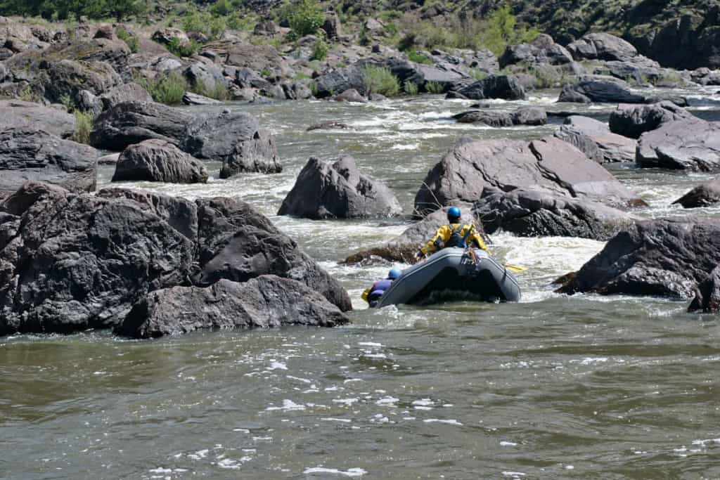
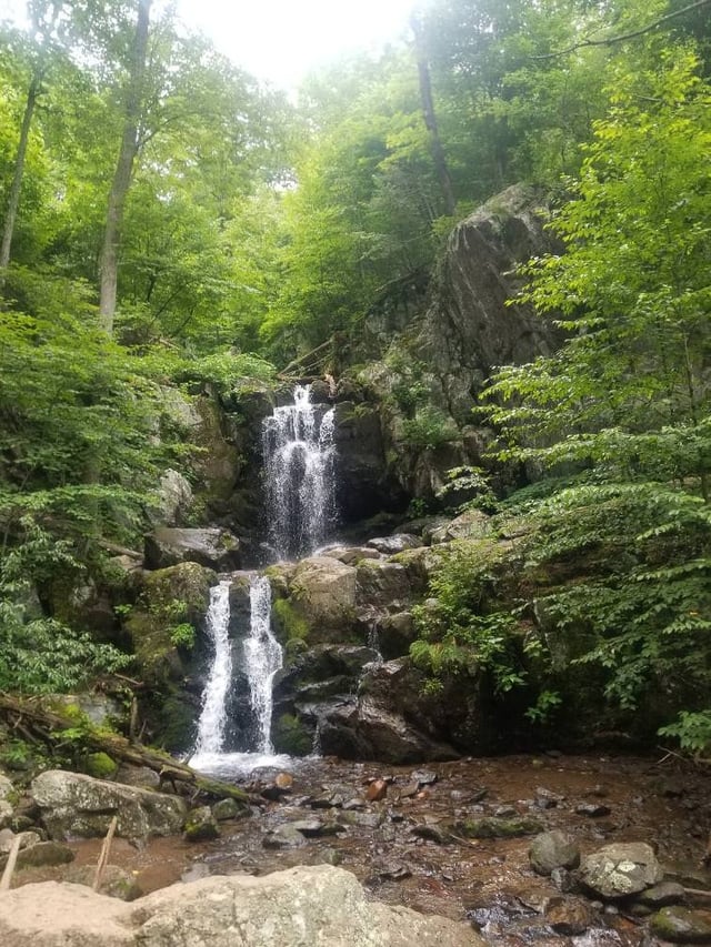
The Wolf River begins at the base of the Cumberland Plateau and flows westward through the Highland Rim in Byrdstown/Pickett County (Dale Hollow Lake). This Class II run offers plenty of variety with numerous riverside waterfalls/cascading tributaries, small bedrock ledges/slides, wave trains, abundant wildlife and scenic gorge walls. The first 2 miles are relatively flat but very scenic (great time to work on strokes/basics/etc.); use the alternate put-in to skip the initial flatwater section. The river is populated by private homes/properties and farmland; please be very respectful, quiet and courteous (drive slowly/no changing in public/no trash/etc.).
Link: TVA Rainfall Gauge Data (Select - State: TN / Gauge: Wolf NR Byrdstown)
Link: USGS Current Conditions 03416000 WOLF RIVER NEAR BYRDSTOWN, TN(Lower Limit) ~2.75FT / ~3.0 - 4.3FT (Optimal)
Additional Wolf River Paddling Options:
Rotten Fork Wolf River / Wolf River Confluence to Sergeant Alvin C. York State Historic Park: Put-In: Wolf River Loop 36.54200° N, 84.95104° W Take-Out: Homestead Loop Trail (river-left) 36.54210° N, 84.96146° W Distance: ~.95 mi
Notes: Once you paddle under the N York Highway Bridge, use the Homestead Loop Trail (river-left) as a take-out above the dam/gristmill. Parking is available at the Blacksmith Shop from Reed Creek Road.
Put-In: Below the Gristmill - Sergeant Alvin C. York State Historic Park 36.54122° N, 84.96239° W Take-Out: Stokley R. West Bridge 36.55384° N, 85.03208° W Distance: ~6.8 mi
https://tnstateparks.com/parks/sgt-alvin-c-york
Wolf River to Dale Hollow Lake: Put-In: Hwy 111 Bridge (public ramp / sandbar under the bridge) 36.60258° N, 85.12136° W Take-Out: Gunnels Camp Boat Ramp 36.60983° N, 85.14969° W Distance: ~2.3 mi
Contributed by Daniel Pritchett
Rapids in this Run (3)
Difficulty
Class II
Length
12.0 mi
Gradient
14 ft/mi
Rapids
3
Access Points
Difficulty Classes
I Easy
II Novice
III Intermediate
IV Advanced
V Expert/Extreme
VI Unrunnable
Current Conditions
5-Day Forecast
Whitewater data from
American Whitewater
American Whitewater