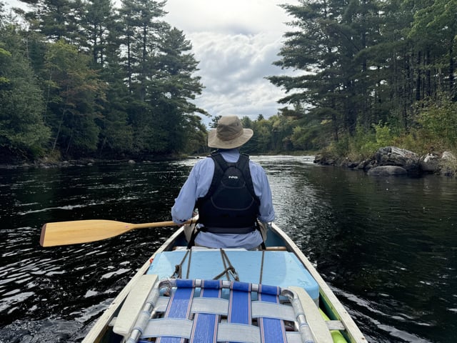
Hwy.35/65 to mouth (up to 2.1 miles)
Gauge Conditions
Runnable: 1,000.0 – 3,000.0 CFS
Almost certainly too low. (Unless the gauge is rising quickly.)
Data from American Whitewater & USGS
Run Map
Run Time Estimate
Select put-in and take-out to estimate time.
Plan This Trip
See wind-adjusted speed maps, forecast planning, and detailed time estimates.
Sign in to generate an AI timing estimate for this run.
Whitewater timing varies with scouting, portages, and group pace. Use as a planning baseline.
Description
A footbridge crosses the lower part of this tributary just as it drops its final ledges toward confluence with the (main) Kinnickinnic in River Falls. We have no reports of whether this is actually runnable, nor for how far upstream. (On aerial/satellite photo, it appears there may be one bigger drop a bit upstream -- runnable? Not?)
Has anyone had eyes on this? Scouted it? Run it? From how far up? Is it a woodfest upstream? A portage-fest? Report!
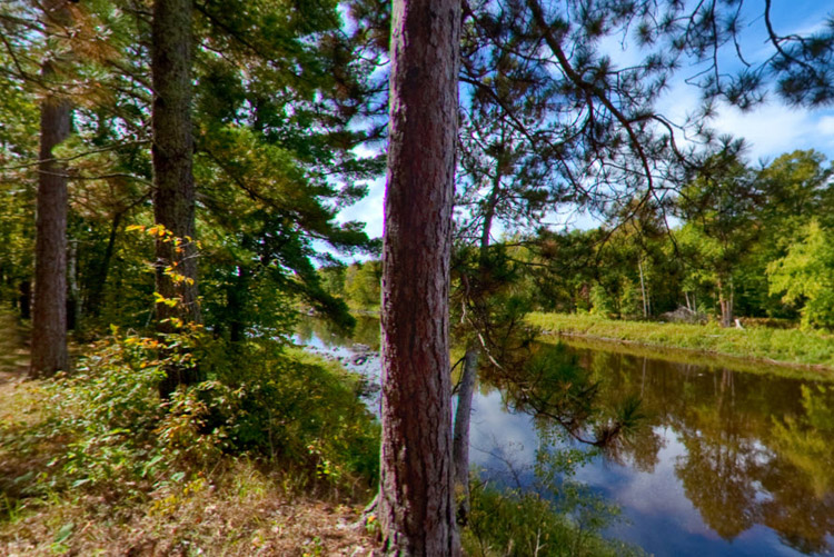
Click the following link to enjoy drone footage of the mouth of this tributary and area around the dam just upstream of the confluence: Aerial drone footage of Kinnickinnic/S.Fk. confluence
Rapids in this Run (10)
Rapid
Drainage area: ~16 sq.mi.
 Rapid
Rapid
Burr Oak Trail Bridge
 Rapid
Rapid
South Sixth Street /Plum Tree Trail Bridge
 Rapid
Rapid
S.Third Street / Blue Stem Parkway
Rapid
S.Third Street / Blue Stem Parkway
Rapid
S.Third Street / Blue Stem Parkway
 Rapid
Rapid
S.Main Street
 Rapid
III
Rapid
III
Ledge/Falls
 Rapid
II
Rapid
II
Swinging Bridge
 Rapid
II
Rapid
II
Main Stem Falls
Difficulty
Class II(III)
Length
1.9 mi
Gradient
30 ft/mi
max 45
Rapids
10
Access Points
Difficulty Classes
I Easy
II Novice
III Intermediate
IV Advanced
V Expert/Extreme
VI Unrunnable
Current Conditions
5-Day Forecast
Whitewater data from
American Whitewater
American Whitewater