I-35 to Manor Rd. (4.1 miles)
Gauge Conditions
Runnable: 300.0 – 3,000.0 CFS
Range of best boatability uncertain. Please help your fellow boaters by submitting a comment or report.
Data from American Whitewater & USGS
Run Map
Run Time Estimate
Select put-in and take-out to estimate time.
Plan This Trip
See wind-adjusted speed maps, forecast planning, and detailed time estimates.
Sign in to generate an AI timing estimate for this run.
Whitewater timing varies with scouting, portages, and group pace. Use as a planning baseline.
Description
Little Walnut Creek has traditionally been described as the 'steepest urban creek in Texas', although that is not technically true (Wells Branch, a popular 1/2-mile feeder run into Walnut Creek, Little Walnut's cousin to the north, is steeper.) However, Little Walnut is still about three times as steep (on average) as the most popular stretch of Walnut Creek, and about twice as steep as the most popular stretch of Barton Creek, so 'steepest urban creek run in Texas longer than a mile' is probably an accurate description.
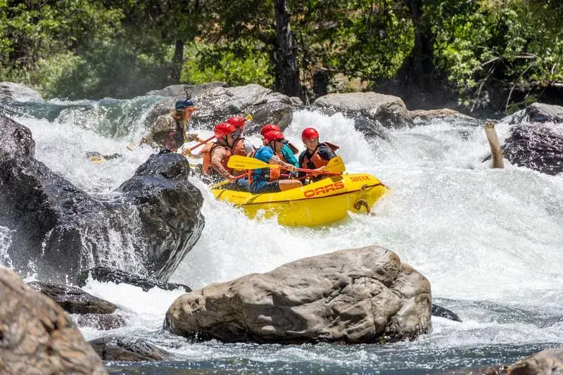
From a whitewater paddler's point of view, the name 'Little Walnut Creek' is a misnomer. It is every bit as wide as Walnut Creek, but the gradient makes it pushier, more technical, and more continuous. The gradient remains consistent throughout the run, with basically no flat water. Paddlers must usually catch eddies in order to rest. Eddies are generally filled with trash, the water quality is generally poor, but don't let that deter you. Little Walnut is a quality whitewater run that is unlike anything else in Central Texas.
There are only three named rapids, as of this writing, but those are named primarily because they stand out relative to the other rapids. There are numerous other rapids between them. The rapids are generally formed by natural limestone shelves and, between Cameron Rd. and U.S. 290, by a combination of natural limestone and a concrete conduit for a sewer line that runs along the creek bottom. There are few boulders or other natural obstacles in the main flow of the creek, so the rapids tend to be slidey with large waves (some as tall as 4-5') and reactionaries, few holes, and generally straightforward lines. However, the continuous-- and usually shallow-- nature of the creek makes it a bad place for a swim. In several places, the main flow leads into thick strainers. Numerous Class III -- and, depending on the flow, a few Class III+ or IV -- moves will be required in order to safely navigate the creek.
Little Walnut Creek is a hard run to catch, particularly if you don't live in Austin. The creek flashes and drops quickly. It seems to have a half life of about an hour. If it rises quickly to 2000 cfs on the Georgian Drive gauge (NOTE: that gauge did not exist at the time 'Texas Whitewater' was written) as the result of a rainfall runoff event, then it will probably be under 1000 cfs an hour later, and under 500 cfs an hour after that. In this case, watching the direct feed on the source gauge's page is recommended, as the AW feed may have a delay. The creek goes with as little as 200 cfs, but you definitely do not want to put in at that level, as it will likely be below 100 cfs by the time you take out. In most cases, you really want at least 800-1000 cfs when putting in.
There is only one known hazard to navigation between I-35 and Dottie Jordan Neighborhood Park, as of this writing-- a river-wide sewer pipe just below the U.S. 290 bridges. The 14-foot dam mentioned in 'Texas Whitewater' was destroyed in the Memorial Day 2015 floods, and the debris from the dam was apparently removed.
As of this writing. the 2nd crossing of U.S. 183 mentioned in 'Texas Whitewater' is not a viable takeout, due to highway construction. Dottie Jordan Park, with its large paved parking lot and 1/4 mile of public river frontage, is the easiest and quickest takeout, but paddlers desiring a longer trip can take out at the Manor Rd. bridge as well.
Distances and gradient measured using GIS tools in 2018.
Rapids in this Run (8)


Playspots (1)
Hazards & Portages (1)
Caution: The following locations may require scouting or portaging. Always check current conditions.
Difficulty
Class III-IV
Length
4.1 mi
Gradient
33 ft/mi
Rapids
8
1 Hazard
Access Points
Difficulty Classes
I Easy
II Novice
III Intermediate
IV Advanced
V Expert/Extreme
VI Unrunnable
Current Conditions
5-Day Forecast
Whitewater data from
American Whitewater
American Whitewater