Jaycee Pond Park (PnP)
Gauge Conditions
Runnable: 100.0 – 600.0 CFS
Likely too low for any meaningful whitewater.
Data from American Whitewater & USGS
Run Map
Run Time Estimate
Select put-in and take-out to estimate time.
Plan This Trip
See wind-adjusted speed maps, forecast planning, and detailed time estimates.
Sign in to generate an AI timing estimate for this run.
Whitewater timing varies with scouting, portages, and group pace. Use as a planning baseline.
Description
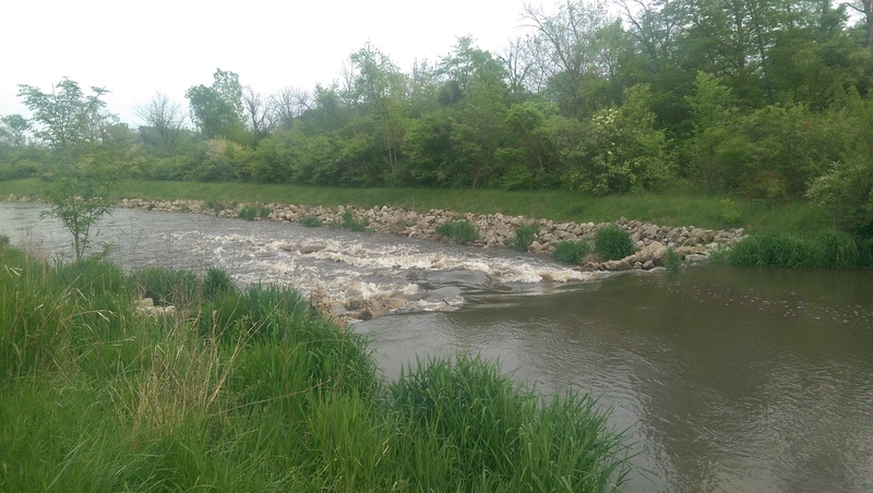
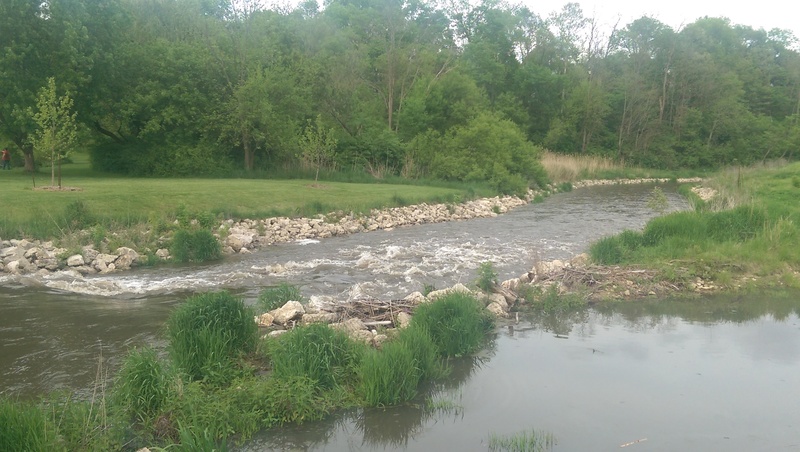
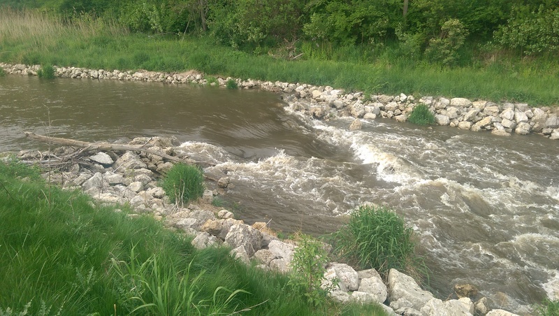
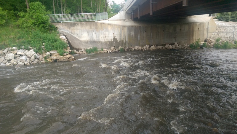
Removal of a dam has revealed a small ledge. Stream remediation involved removing sediment, lining the shores with quarried-rock, and placement of three rock-arch ('wing dam') rapids in about a quarter-mile of this creek as it heads toward (and under) River Road, prior to the confluence with the Fox River. Barely a half-mile upstream of this confluence on the Fox lies the Marge Cline Whitewater Park (a brief whitewater course in a bypass-channel around a dam). At times of peak snowmelt and after significant rains, there will be enough water in this creek to (perhaps) provide some change-of-pace/counterpoint to the features in that course. (In fact, when this creek has sufficient flow for a run, it is likely the Fox will be running a bit high for best play on its whitewater course.) There is a blog which chronicled the entire dam removal and remediation process. The page of the blog showing the 'restored' creek, with flow, is available at: Waterdog Journal.
Rapids in this Run (5)
Difficulty
Class II
Length
0.3 mi
Rapids
5
Access Points
Shuttle Info
Since this is such a short section, we have defaulted the directions to be from your home-zip location to this location.
Difficulty Classes
I Easy
II Novice
III Intermediate
IV Advanced
V Expert/Extreme
VI Unrunnable
Current Conditions
5-Day Forecast
Whitewater data from
American Whitewater
American Whitewater