Joliet: Corcoran Park to S.Joliet Street (3.75 miles)
Gauge Conditions
Data from American Whitewater & USGS
Run Map
Run Time Estimate
Select put-in and take-out to estimate time.
Plan This Trip
See wind-adjusted speed maps, forecast planning, and detailed time estimates.
Sign in to generate an AI timing estimate for this run.
Whitewater timing varies with scouting, portages, and group pace. Use as a planning baseline.
Description
Quick Facts:
Location: Joliet, IL.
Shuttle Length: 4.2 miles.
Character: In town run, though most of the early going is wooded parks, you come out past homes, and finish within vertical cement walls (before the confluence with Des Plaines River).
Drainage area: approximately 107 square miles (at gauge at Richards Street).
Put-in elevation is approximately 580'.
Take-out elevation is approximately 505'.
Thus total elevation change is approximately 75'.
Paul Bowman provides (2009-03-18):
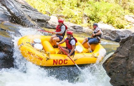
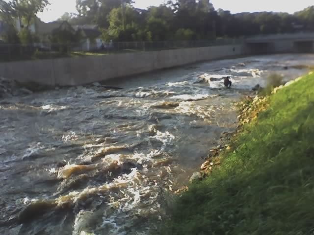
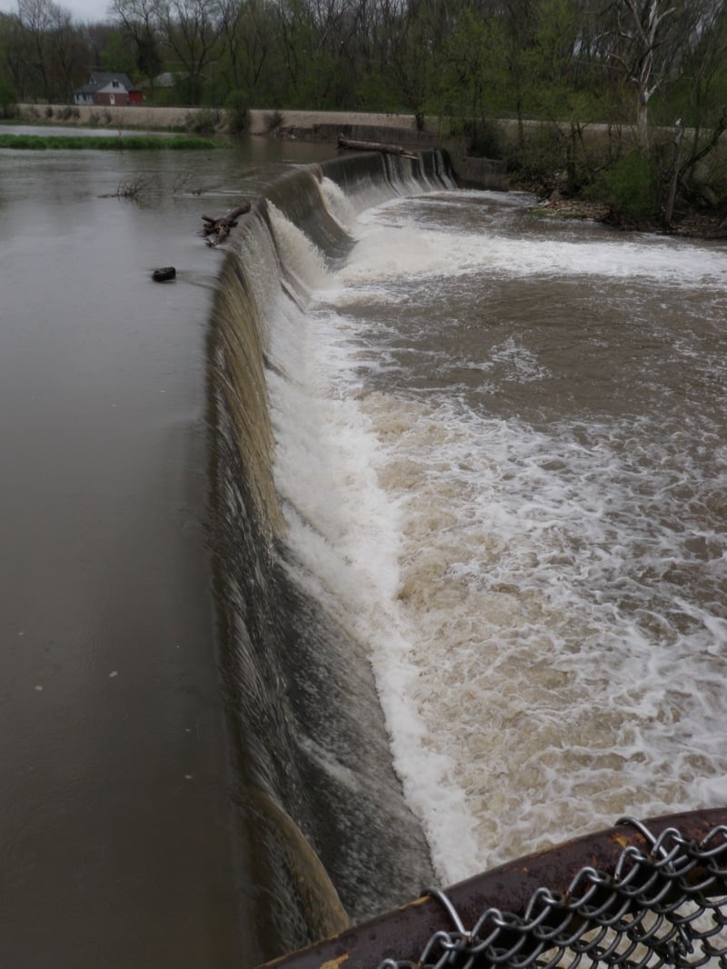
*Hickory has been one of my favorites for almost 12 years. I usually put in below the dam at Pilkcher Park. There is a lot of parking and then follow trail below the dam to the creek. With water levels above 300cfs (minimum) you get some good 2ish boogie water. When you enter the concrete canyon, Spring Creek will be on your right.*
*The first drop with the great surf has been called 'Upper Synthetic' and the surf spot below old Richards Street bridge 'Lower Synthetic'. About 10 years ago the water reclamation department had the creek bed majorly altered. Most of the gradient was directly below the I-80 bridge. A contrator with large rock chewing machines removed a 4' thick layer of creek bed. Directly below I-80 there was a great foamy wave. They removed the creek bed all the way up to where Upper Synthetic (man made) was formed.*
---
Brad Klimkowski provides (2009-03-17):
*I have been this river on a few occasions; unfortunately river levels were drastically different each time. My first time down Hickory I scraped my way down at around 200 cfs and found almost no worthwhile whitewater features other than at the feature that is labeled “The Squeeze” (which is an excellent name for it by the way, whoever put this creek on here, and I would love to see it stick).*
*My second time down I managed to get on Hickory Creek at about 2,000 cfs and found relatively quick current most of the way punctuated by the occasional small side surf wave. The highlight of this trip, once again, was at The Squeeze. The added water generated a very large green wave. My third attempt was at about 4,000 cfs and after scouting this feature and a few other spots on the river my friend and I decided that it was just too flooded and not worth the risk.*
*The Squeeze is actually located in a channelized portion of Hickory Creek and is generated by five foot tall wing dams on each side, squeezing the water together into a V-shaped wave. At 2,000 cfs these wing dams do have water going over them and their hydraulics should be respected. Fortunately these dams do not occupy that much of the river and are very easy to avoid. They also form the eddies necessary to surf this wave more than just “on the fly.” I would suggest that this feature should be considered a Class III at the listed maximum level or above. Directly upstream of this feature (approximately 200 feet), before the river becomes channelized, is a river wide hole that is very side surfable and gets larger as the water level rises.*
*Keep in mind a few things when approaching these features: very few eddies exist upstream of these two features. If you swim at any of these two features you will be in for a decent float before you can get out of the water, let alone collect your gear, due to the channelized nature of the river at this point. Portage and scouting is possible here, but you will find yourself in people’s backyards in a questionable neighborhood, so be discrete.*
*The put-in I used was downstream of the dam in Pilcher Park. This run is also described in Bob Tyler’s book, Canoeing Adventures in Northern Illinois: Apple River to Zuma Creek.*
Thanks, guys!
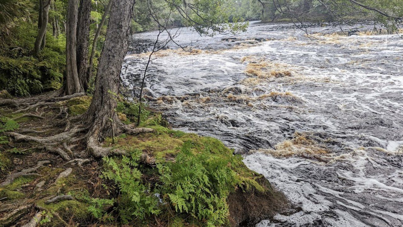
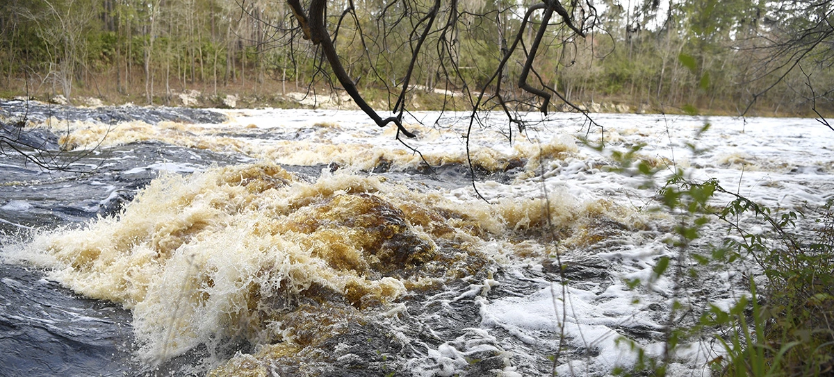
Note: Throughout the channelized, walled-in section of river, crews periodically (at low water) drive up the river with heavy equipment to remove large woody debris (trees) which may accumulate on bridge piers and such. Be aware that the upper part of this run (where the crews do not reach) is subject to having massive deadfall which may make passage in some areas quite difficult and hazardous.
Rapids in this Run (4)
Playspots (4)
Hazards & Portages (1)
Caution: The following locations may require scouting or portaging. Always check current conditions.
Difficulty
Class II
Length
3.7 mi
Gradient
19 ft/mi
max 23
Rapids
4
1 Hazard
Access Points
Difficulty Classes
I Easy
II Novice
III Intermediate
IV Advanced
V Expert/Extreme
VI Unrunnable
Current Conditions
5-Day Forecast
Whitewater data from
American Whitewater
American Whitewater