Lakemont to Tallulah River
Gauge Conditions
Runnable: 183.0 – 5,000.0 CFS
Upper limit for best boatability uncertain. Please help your fellow boaters with a comment or report.
Data from American Whitewater & USGS
Run Map
Interactive run map
Loads as you approach this section.
Run Time Estimate
Select put-in and take-out to estimate time.
Plan This Trip
See wind-adjusted speed maps, forecast planning, and detailed time estimates.
Sign in to generate an AI timing estimate for this run.
Whitewater timing varies with scouting, portages, and group pace. Use as a planning baseline.
Description
Tiger creek is a short but major tributary of the Tallulah River. This is where all of the water comes from for the middle section of Tallulah, because most of the river is diverted and dry. Tiger creek is basically a good alternate put in for the middle Tallulah.
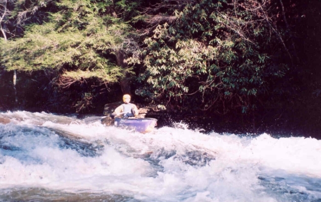
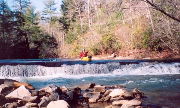
That being said it has rapids that greatly exceed what would be expected for a run with 40 ft/mile gradient. The drops on Tiger Creek are all abrupt slides and ledges. Several of these are big enough to be exciting for most boaters but are not technically difficult.
Some landowners along this creek are not big fans of boaters so be aware that getting out on the banks is not an option. If you are fast and cruise down to the Tallulah it should be fairly simple to avoid altercations.
Rapids in this Run (2)
Hazards & Portages (1)
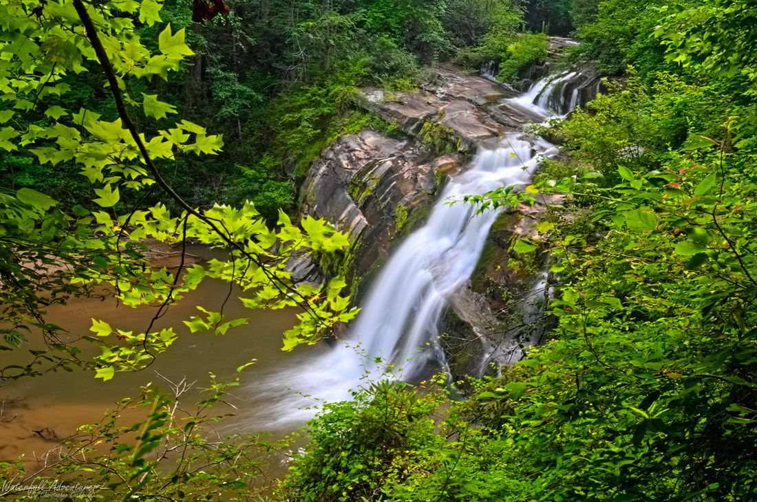
Caution: The following locations may require scouting or portaging. Always check current conditions.
Difficulty
Class III
Length
0.9 mi
Gradient
40 ft/mi
Rapids
2
1 Hazard
Access Points
Difficulty Classes
I Easy
II Novice
III Intermediate
IV Advanced
V Expert/Extreme
VI Unrunnable
Current Conditions
5-Day Forecast
Whitewater data from
American Whitewater
American Whitewater