Liberty Hwy to SC 137
Gauge Conditions
Runnable: 300.0 – 2,000.0 CFS
Data from American Whitewater & USGS
Run Map
Run Time Estimate
Select put-in and take-out to estimate time.
Plan This Trip
See wind-adjusted speed maps, forecast planning, and detailed time estimates.
Sign in to generate an AI timing estimate for this run.
Whitewater timing varies with scouting, portages, and group pace. Use as a planning baseline.
Description
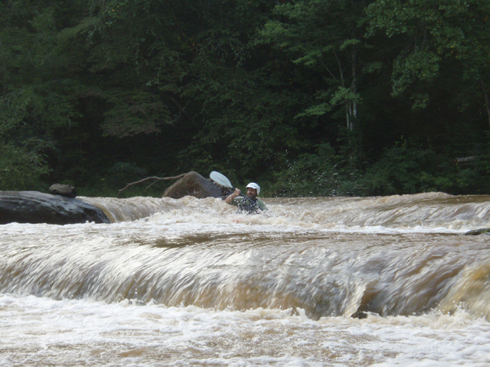
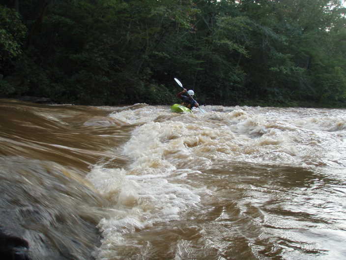
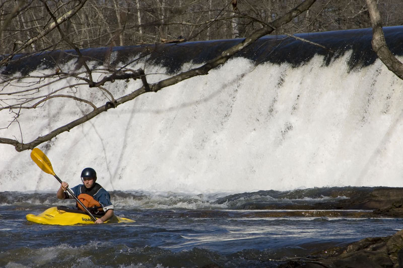
This upper section of the 12 Mile Creek is a fairly relaxed paddle. A couple rapids on this section will come alive during real high water. There is one 15' dam located just above SC 137 which can be easily portaged on the right. This dam services the Easley Central Water District.
Double Drop at high water floods the island in the middle below the rapid, and makes some extremely sticky holes at the base on both sides of the island where it is normally a small drop.
Waterfalls (1)
Playspots (2)
Hazards & Portages (1)
Caution: The following locations may require scouting or portaging. Always check current conditions.
Difficulty
Class I-II
Length
4.2 mi
Gradient
15 ft/mi
Rapids
0
1 Hazard
Access Points
Difficulty Classes
I Easy
II Novice
III Intermediate
IV Advanced
V Expert/Extreme
VI Unrunnable
Current Conditions
5-Day Forecast
Whitewater data from
American Whitewater
American Whitewater