Lowell to Kooskia Recreational
Gauge Conditions
Runnable: 1,000.0 – 20,000.0 CFS
Optimal: 3,000 – 12,000
Lochsa gauge at confluence
Data from American Whitewater & USGS
Run Map
Put-in
Take-out
Rapids/Hazards
Recreational
Run Time Estimate
Select put-in and take-out to estimate time.
Plan This Trip
See wind-adjusted speed maps, forecast planning, and detailed time estimates.
Sign in to generate an AI timing estimate for this run.
Whitewater timing varies with scouting, portages, and group pace. Use as a planning baseline.
Description
One of the original 8 Wild and Scenic Rivers, the Middle Fork Clearwater, is a beautiful stretch of river that begins where the Lochsa and Selway join in Lowell and continues for 24 miles to the town of Kooskia where the Middle and South Forks join to become the mainstem Clearwater.
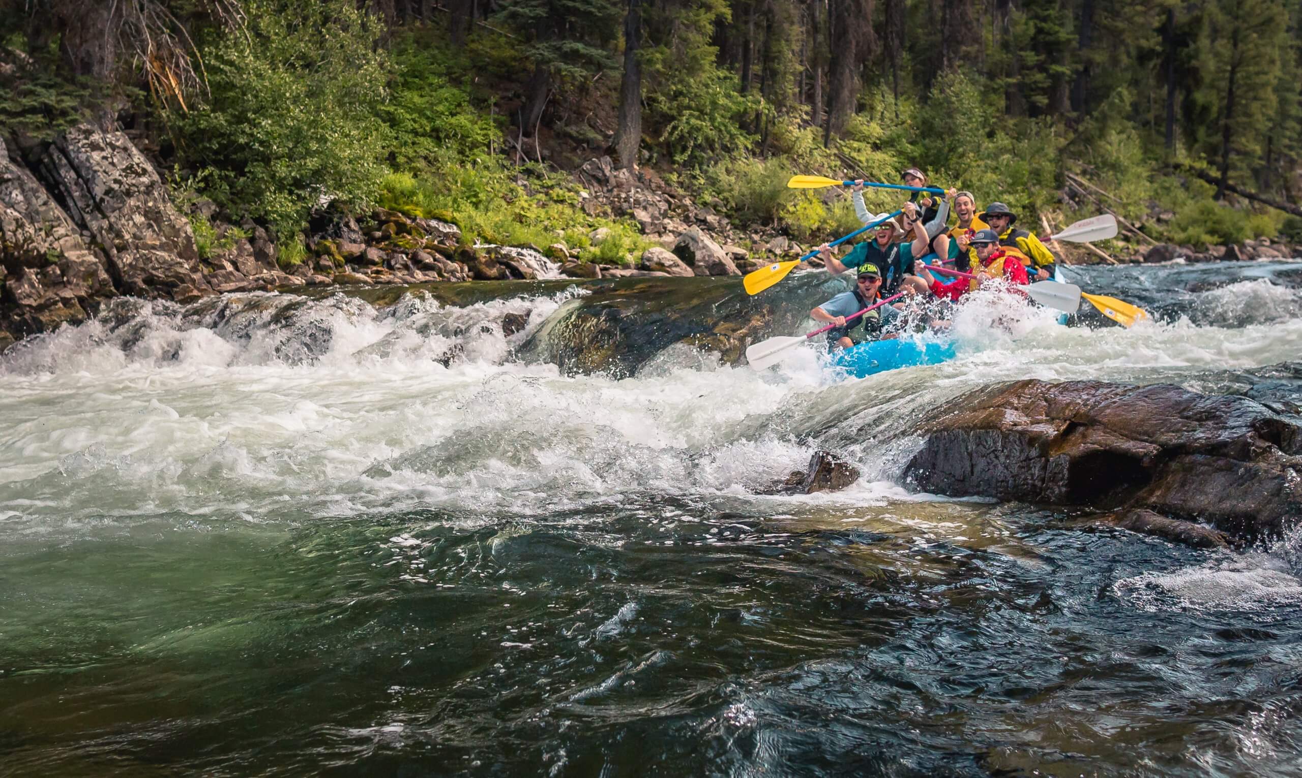
With class II rapids, the Clearwater is a great summer float trip for rafts, canoes, kayaks, or SUPs. The scenery is a mix of forests and minor rural development with Highway 12 paralleling the north bank of the river.
Logistics:
With Highway 12 running along the river shuttle logistics are easy and several river access points and day-use areas can be used for access.
Selway/Lochsa confluence: Highway 12 mile 96.9
pull-out below Selway/Lochsa confluence: Highway 12 mile 96.6
Wild Goose: Highway 12 mile 95.3
Three Devil's Picnic Area: Highway 12 mile 94.3
Number One River Access: Highway 12 mile 88.6
unmarked river access: Highway 12 mile 85.8
Tukaytesp'e Picnic Area: Highway 12 mile 76.3
turn to Kooskia: Highway 12 mile 73.9
Difficulty
Class I-II
Length
23.0 mi
Rapids
6
Access Points
Difficulty Classes
I Easy
II Novice
III Intermediate
IV Advanced
V Expert/Extreme
VI Unrunnable
Current Conditions
5-Day Forecast
Whitewater data from
American Whitewater
American Whitewater