Lower
Gauge Conditions
Runnable: 1.0 – 3.5 FT
Data from American Whitewater & USGS
Run Map
Description
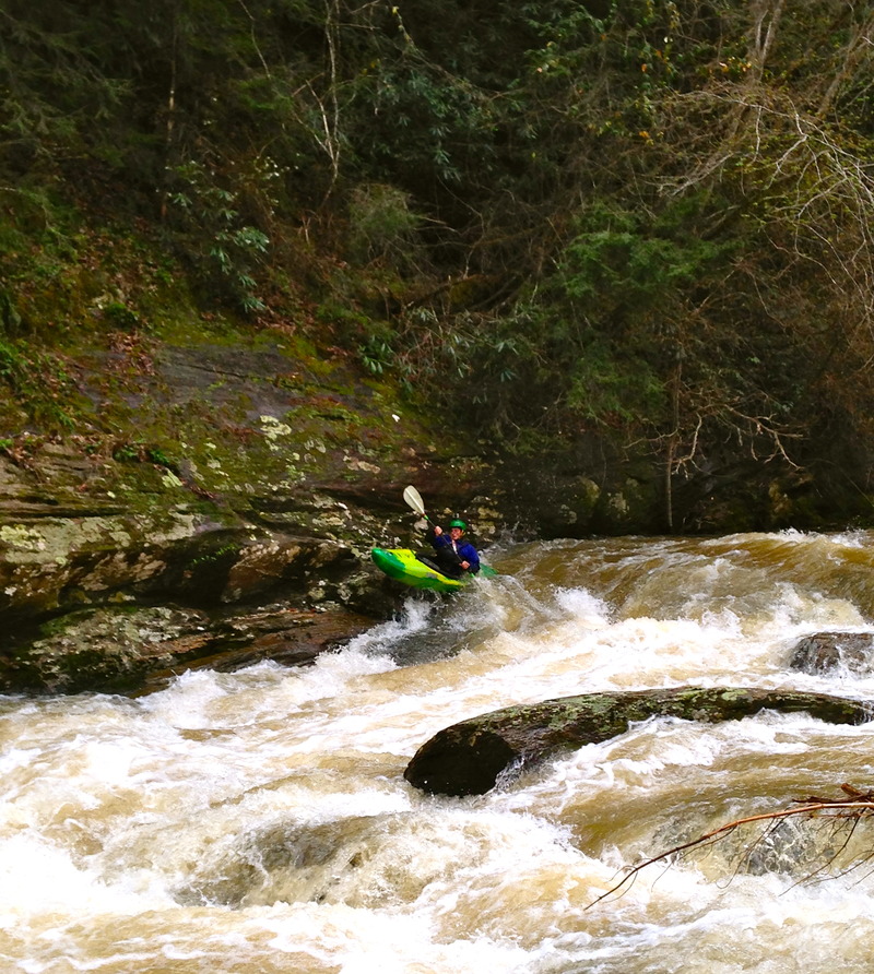
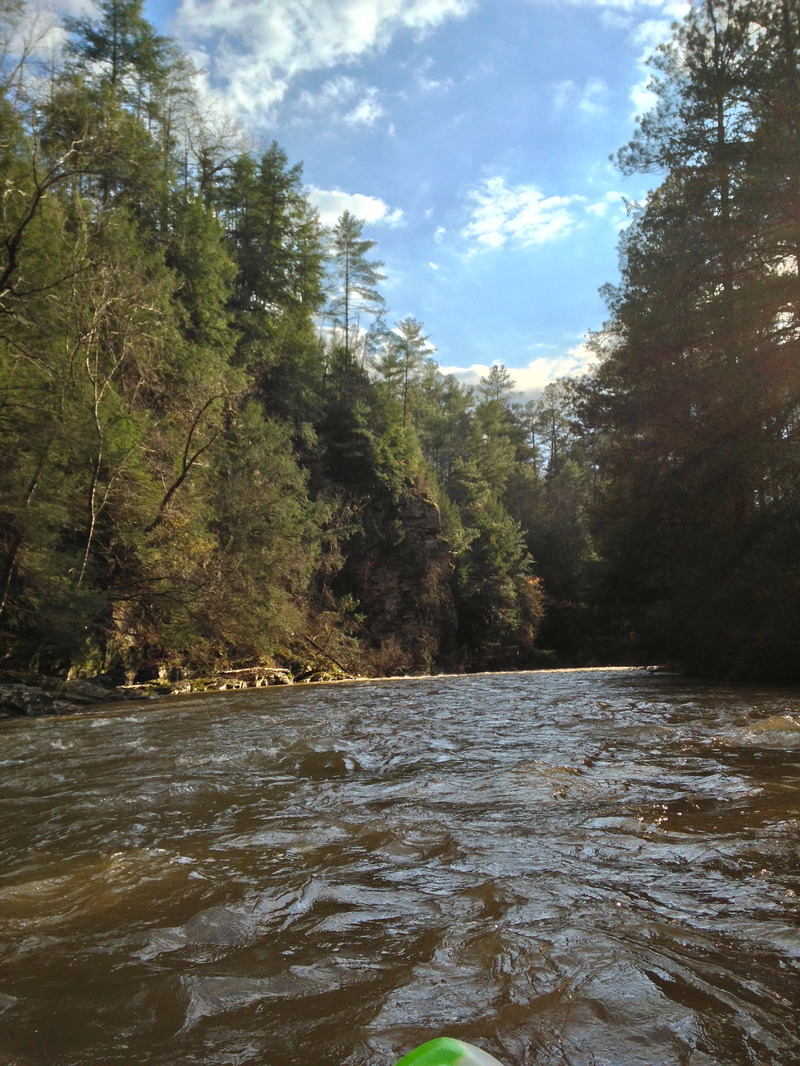
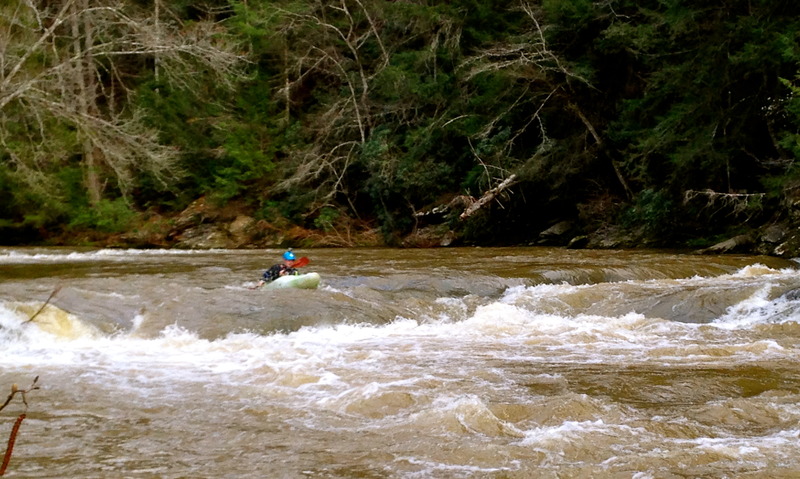
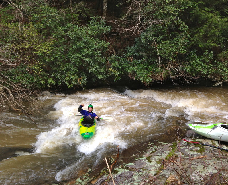
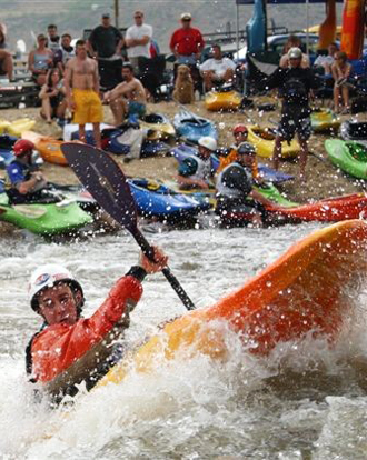
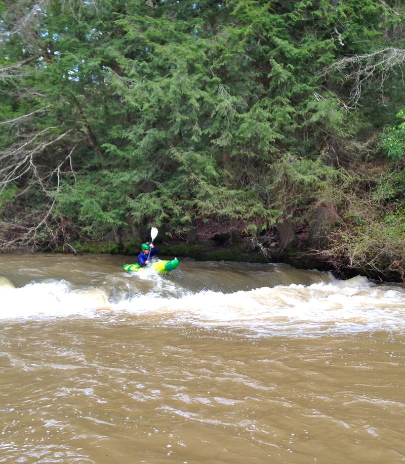
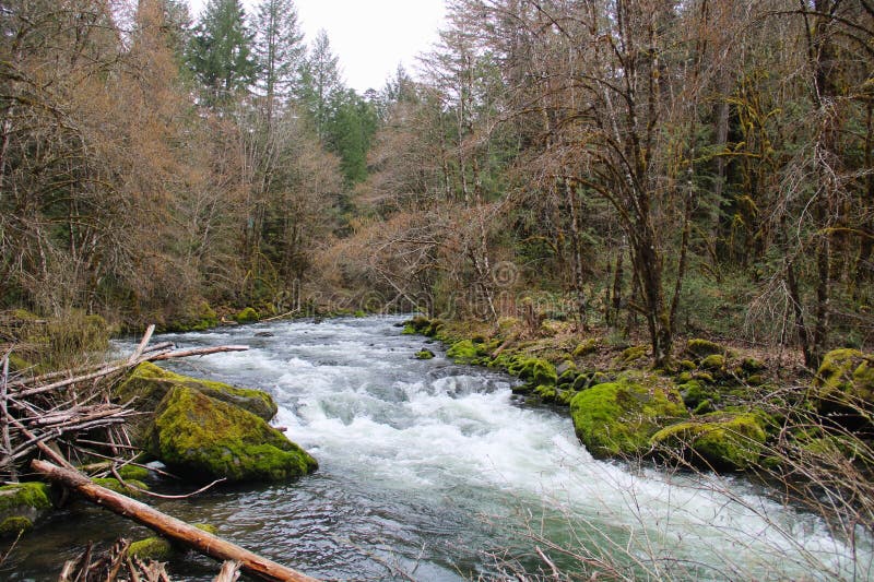
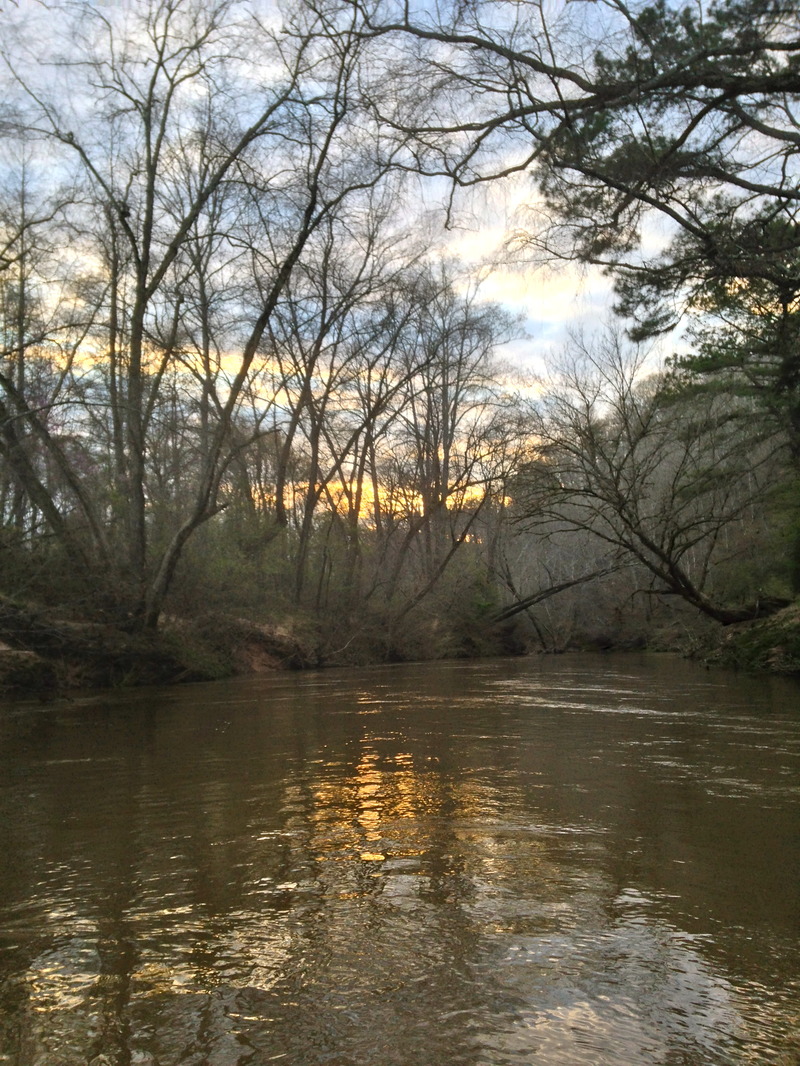
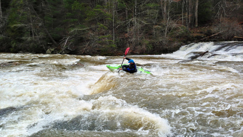
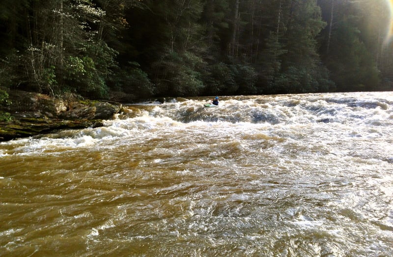
A fun fact, the entire Amicalola river resides in Dawson County. This is a pristine section of river with amazing whitewater at the right water levels. Because most of this strech lies in a wildlife managment area there are no houses along the river. The scenery is top notch with massive rock walls, mini gorges, and beautiful forest. All the major rapids on this run take place in the first 3.75 miles and are interspaced by an assortment of class II-III ledges, slots, and smaller wave trains. Levels 1.1-1.5 is a good beginner level to this section with everything running but nothing too serious. From levels 1.5-1.9 things become much more clean regarding the lines. New slots open up and the EOTW becomes more pushy. From 1.9-2.5 this run takes on a whole new attitude, the rapids start running together and it becomes much more continuous with large waves and sticky holes. At these levels the middle ledge in EOTW starts to be a bit retintive so it is a good idea to scout/portage on the left. From 2.5 to 3.0 it is full on, not recomended unless having bigwater skill,and you are used to kayaking in floods.Knowing the river won't really matter at this point because everything starts to change. Have a good crew and be ready for battle .(When levels are really high the last chance to get out before EOTW is sandbar/ beach looking area on left about 100 yards above beginning of rapids.) Above 3 feet the whole river seems to start feeding into a terminal death ledge hole formed by the middle ledge in EOTW. Also logs tend to stack up in EOTW so anytime there has been a flood you should rescout this rapid. The run is capped off by about six miles of flat water that moves good at flood level, not so good at lower levels(1.6 and down). The gradient of the white water section averages 52 FPM.
Note that the most up-to-date Topo map of the area is 30 years old. A large majority of the roads and trails in the area, including both takout roads, do not appear on the maps.
Here is a video I have created to try and have a virtual walk threw of all the rapids. This is at a high level but a lot of the lines are the same.
https://www.youtube.com/watch?v=26pMxNxunzM#t=26
Kelly Bridge Take-out Directions.
Go west on GA53 for one mile and make a left on Cowart Rd at the Quickie Mart. At the stop sign, make a left on Kelly Bridge Road. Go 3.4 miles to the take-out. Shuttle round trip is about 15 miles.
Alternate take-out directions.
An alternate take-out point exists at river mile 3.5.
Go to the top of the hill where the little "raft guide" place is--with the totem pole out front. Go south on Sweetwater-Church/Juno Rd. It's a left on GA53 west, a right on GA53 east.
Take this road for about 0.7 of a mile and it will turn into a dirt road.
Keep going on the dirt road for another 0.9 and it will turn back into blacktop at a GA Forestry Service sign.
Go 1 mile on the blacktop, ignore all the turn offs- just go straight.
The Black top will dead end, dirrectly before it, bare onto the gravel road veering to the left.
Go about 1/4 mile and take the first right. Go 100 yards and park at the gate. DO NOT BLOCK THE GATE!
If you want to walk down to the take out-- Go down the road about a 300yds and bare left over the hill on an old jeep trail. The road goes down and bares around to the right a little,about 0.8 miles. Take a left at the "T" in the road and the take out is about 50yards-can't miss it. All in all this is about a mile hike up hill to your car.... Is flat water that bad??
Directions on the river.
About one mile after Roostertail the river will bare around to the left a little. You'll see a little flat area on river left that has a makeshift campsite. The banks get pretty high after this and about 50 yards further down you'll see a cut in both banks where there use to be an old ford. There's a set of very old stone bridge supports, one on each side of the river. Take out on river left.
The walk out is 1 mile and while not steep, it is up hill. Be prepared to sweat a little. If you own a set of backpack straps, you might want to throw them in your dry bag.
Multi-use Area
95%+ of the navigable portion of the Amicalola lies within the Dawson Forest Wildlife Management Area. This is a multi-recreational 25,000-acre tract of land administered and managed by the Georgia Department of Natural Resources. Depending on the time of year, the forest is utilized by a wide variety of individuals including: boaters, fishermen, hunters, hikers, equestrians, and DNR personnel engaging in forestry management (controlled burns and logging operations). Please remember to be respectful of these individuals right to access and use this area.
Amicalola and Etowah Access Opened (GA)
Access Reopened
Good news! In January 2002, the landowner at the Etowah take-out called American Whitewater to announce their reopening of the Etowah take-out. The owner is asking for $3 per person on the honor system, envelopes are provided at the site. There is a gate to the parking area that is unlocked during the day. The owner asks that visitors close the gate whenever entering or leaving the site.
While it is disappointing that the State failed to renew their lease on the site, we are excited by the owner's continued interest in providing public access to the Etowah!
Rapids in this Run (8)
Hazards & Portages (2)
Caution: The following locations may require scouting or portaging. Always check current conditions.
Difficulty
Class III-IV+
Length
9.4 mi
Gradient
29 ft/mi
max 70
Rapids
8
2 Hazards
Access Points
Difficulty Classes
I Easy
II Novice
III Intermediate
IV Advanced
V Expert/Extreme
VI Unrunnable
Current Conditions
5-Day Forecast
Whitewater data from
American Whitewater
American Whitewater