Lower Austin Creek Falls to Lake Whatcom Blvd.
Gauge Conditions
Runnable: 2.4 – 8.0 FT
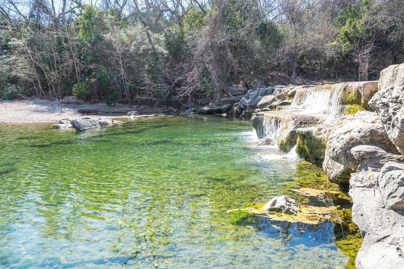
An adjacent smaller creek
Data from American Whitewater & USGS
Run Map
Run Time Estimate
Select put-in and take-out to estimate time.
Plan This Trip
See wind-adjusted speed maps, forecast planning, and detailed time estimates.
Sign in to generate an AI timing estimate for this run.
Whitewater timing varies with scouting, portages, and group pace. Use as a planning baseline.
Description
The creek is not terribly difficult per se, but it is a steep woody microcreek with constant threats to keep your eyes open. The put in is reached by hiking up on river right from Tumbling Water to Austin Creek falls, or just by putting in at Tumbling Water cascades. The alternative access is just below Area Z with a short hike down to the creek. The takeout is at the Sudden Valley Golf Course.
This does run behind houses so don't be a nuisance.
The gage for this is a correlation gage on an adjacent drainage.
A short video at low flows at the Tumbling Water Cascades
Short video at around 3.6 feet at the guage starting from the confluence
Rapids in this Run (7)


Waterfalls (1)
Hazards & Portages (1)
Caution: The following locations may require scouting or portaging. Always check current conditions.
Difficulty
Class III-IV
Length
1.2 mi
Rapids
7
1 Hazard
Access Points
Difficulty Classes
I Easy
II Novice
III Intermediate
IV Advanced
V Expert/Extreme
VI Unrunnable
Current Conditions
5-Day Forecast
Whitewater data from
American Whitewater
American Whitewater