Lower Five Miles to Clackamas River
Gauge Conditions
Runnable: 250.0 – 500.0 CFS
Data from American Whitewater & USGS
Run Map
Run Time Estimate
Select put-in and take-out to estimate time.
Plan This Trip
See wind-adjusted speed maps, forecast planning, and detailed time estimates.
Sign in to generate an AI timing estimate for this run.
Whitewater timing varies with scouting, portages, and group pace. Use as a planning baseline.
Description
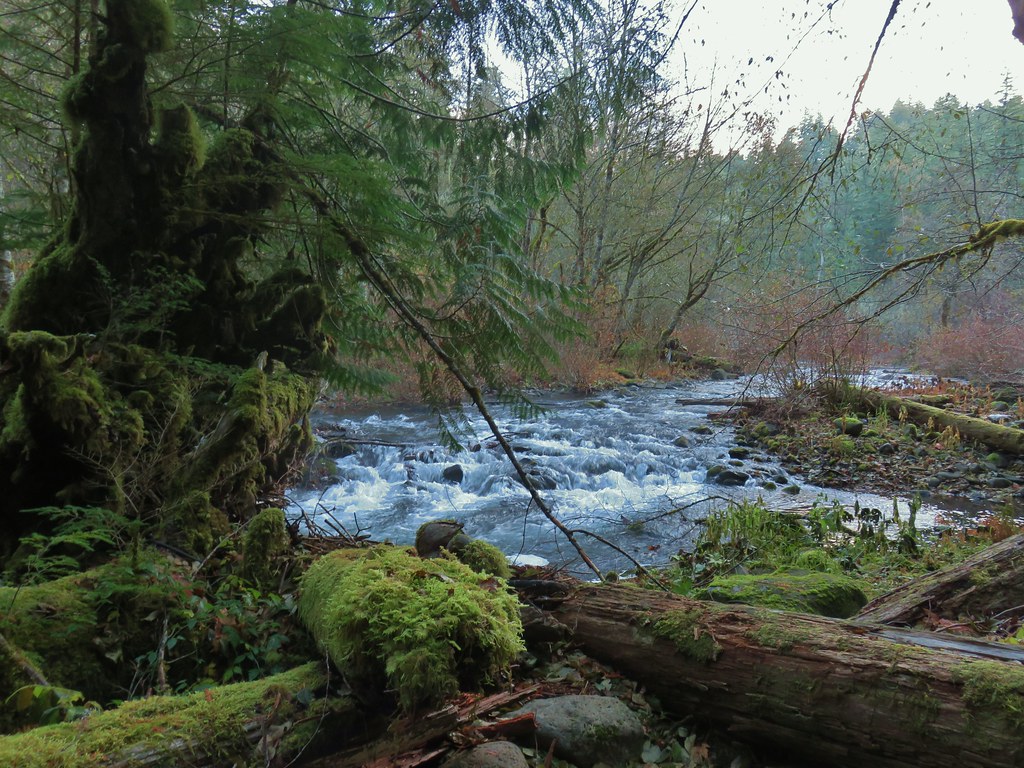
The Oak Grove Fork of the Clackamas is one of the main tributaries of Timothy Lake east of Estacada and it is a significant component of the hydroelectric projects on the Clackamas River. After leaving Timothy Lake, the Oak Grove Fork flows almost 10 miles (diverted once for another hydro-electric project) before being impounded a second time by the dam that forms Harriet Lake. From there, a significant portion of the base flow is diverted for the 3 Lynx hydro-electric plant on the main Clackamas River. Other than base fish flows, the section from Harriet Lake to the confluence with the Clackamas River near Ripplebrook only has boatable flows when rain causes the dam to spill water.
This rarely boated section of river consists of a challenging upper section and a Class 3 lower section. The lower section has had a significant amount of wood hazards on the few known descents. The upper section consists of several Class 4-5 drops before boaters reach Crack in the Ground Falls. Crack in the Ground consists of several big ledges between narrow walls. It is marginal runnable if it doesn't have wood but the vast majority of boaters should look to portage on the left. It should be noted there is a relatively recent hydro-electic station on the right which may complicate a portage or it may provide easier access.
Below Crack in the Ground is a short section of river with a few rapids before boaters reach Barrier Falls which can be scouted and/or portaged easily on the left. Below Barrier are a couple more fun rapids before the gradent decreases and the river takes on more of a Class 3 feel. Depending on flow and the current wood situation, this section could be either pleasant fun or a painful slog of portages. Take out at the Hwy. 46 bridge as the section below the bridge has fish habitat wood that makes it essentially unboatable.
See the description of a flow study, conducted 10/24/01, on Jason Rackley's excellent Oregon Kayaking site.
Waterfalls (2)
Difficulty
Class III-V(V+)
Length
5.2 mi
Gradient
132 ft/mi
max 160
Rapids
0
Access Points
Difficulty Classes
I Easy
II Novice
III Intermediate
IV Advanced
V Expert/Extreme
VI Unrunnable
Current Conditions
5-Day Forecast
Whitewater data from
American Whitewater
American Whitewater