Macopin Dan to 287, Riverdale
Gauge Conditions
Runnable: 180.0 – 2,000.0 CFS
Low flow is pretty scratchy, but only a little more water (200-220 cfs) gets you solidly over everything if you pay attention.
Data from American Whitewater & USGS
Run Map
Run Time Estimate
Select put-in and take-out to estimate time.
Plan This Trip
See wind-adjusted speed maps, forecast planning, and detailed time estimates.
Sign in to generate an AI timing estimate for this run.
Whitewater timing varies with scouting, portages, and group pace. Use as a planning baseline.
Description
Fun intermediate river right on the edge of suburbia that runs well during wet seasons that fill up the upstream reservoirs. Once it gets up it holds. Gauge is just above the start of this section so very accurate. As the river has lots of similar sized boulders it goes very quickly from fun to scrapy to unrunnable.
Except for the dams I’d keep it at 2-2+. Lots of nearly continuous rapids and the water – straight out of a reservoir - is clear and cool.
Normal launch is literally under 23 on the off ramp from 23 south (east) to Hamburg Turnpike. Carry over the guard rail.
There’s almost 2 miles of river above the normal launch but no clearly legal parking with an acceptable carry to the launch.
Mileage is measured from the Macopin Dam and your author has paddled from there by dropping boats on the u-turn and riding a bike along 23 from where we parked.
Aesthetics are mixed at best with some downright ugly sections, some old industrial stuff and some sections with high enough banks or far enough from roads to feel natural.
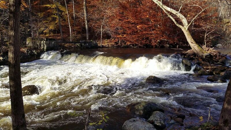
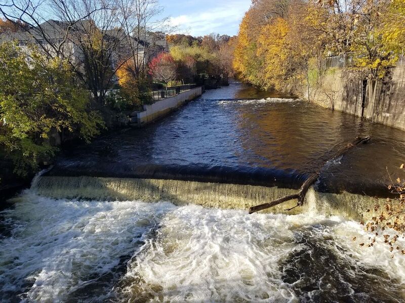
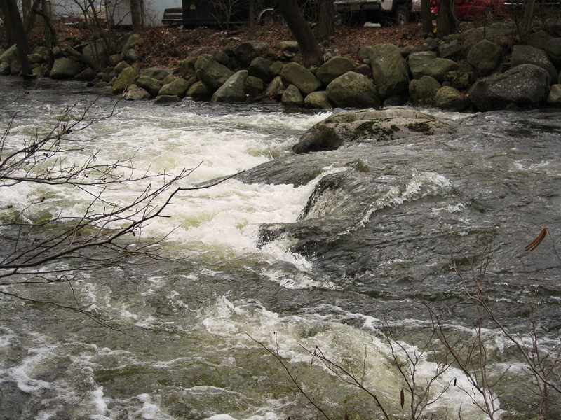
There are three dams on this run.
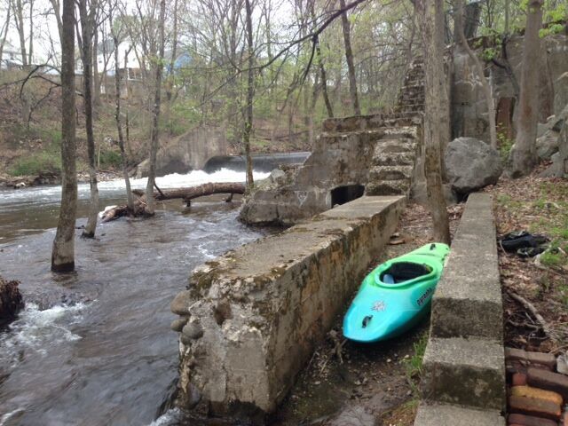
Dam 1 at Waterfall Court apartment complex is boofable into the center pool and not a bad portage and easily scouted during the shuttle as well.
The deadly middle dam on Main street in Butler has retaining walls that limit access and a bad recirc. Scout on the shuttle as you don’t want to miss this… about a 4’ drop. On river right about 30’ above the drop is a big eddy where you can scramble up through a small gate. At high water this is a true killer low head as the sides start to recirc in and there’s no good access to set up safety at high water. ( It was running about 1500 cfs when Kamikaze Ken was killed which is discussed in the linked article).
Dam #3 at 2nd Street in Butler is portaged/scouted on right. There's ceramic pipes in the spillway, occasional strainers in the right but the real problem is boat abuse as the bow smashes into a gravelly spillway.
Since the 3 dams are close together, we’ve parked at Waterfall Court to run the upper part and car portaged to Second street by the senior center for the lower. This bypasses only about 1/2 mile and it's mostly the ugliest, most industrial stretch.
Popular pullout is out Appelt Park on Hamburg Turnpike (694) just north of I-87…Below Appelt Park the rive spreads out into the flat-water and mud of the Pompton.
_Written up in Appalachian Waters_, W. Burmeiste and _Gertler's Garden State Canoeing ._
_Video by NJCreeker from 2013 at_ https://www.youtube.com/watch?v=3bz9mu5-QZI shows no wood in the island rapid but other then that not much changes.
Playspots (3)
Hazards & Portages (7)
Caution: The following locations may require scouting or portaging. Always check current conditions.
Difficulty
Class II+(IV)
Length
4.1 mi
Rapids
0
7 Hazards
Access Points
Difficulty Classes
I Easy
II Novice
III Intermediate
IV Advanced
V Expert/Extreme
VI Unrunnable
Current Conditions
5-Day Forecast
Whitewater data from
American Whitewater
American Whitewater