Mandan Road to Lake Superior (4.5 miles+lake paddle)
No sufficiently local live gauge linked. 1 automated match was excluded because locality could not be verified. Difficulty and route details are not current water conditions.
Run Map
Run Time Estimate
Select put-in and take-out to estimate time.
Plan This Trip
See wind-adjusted speed maps, forecast planning, and detailed time estimates.
Sign in to generate an AI timing estimate for this run.
Whitewater timing varies with scouting, portages, and group pace. Use as a planning baseline.
Description
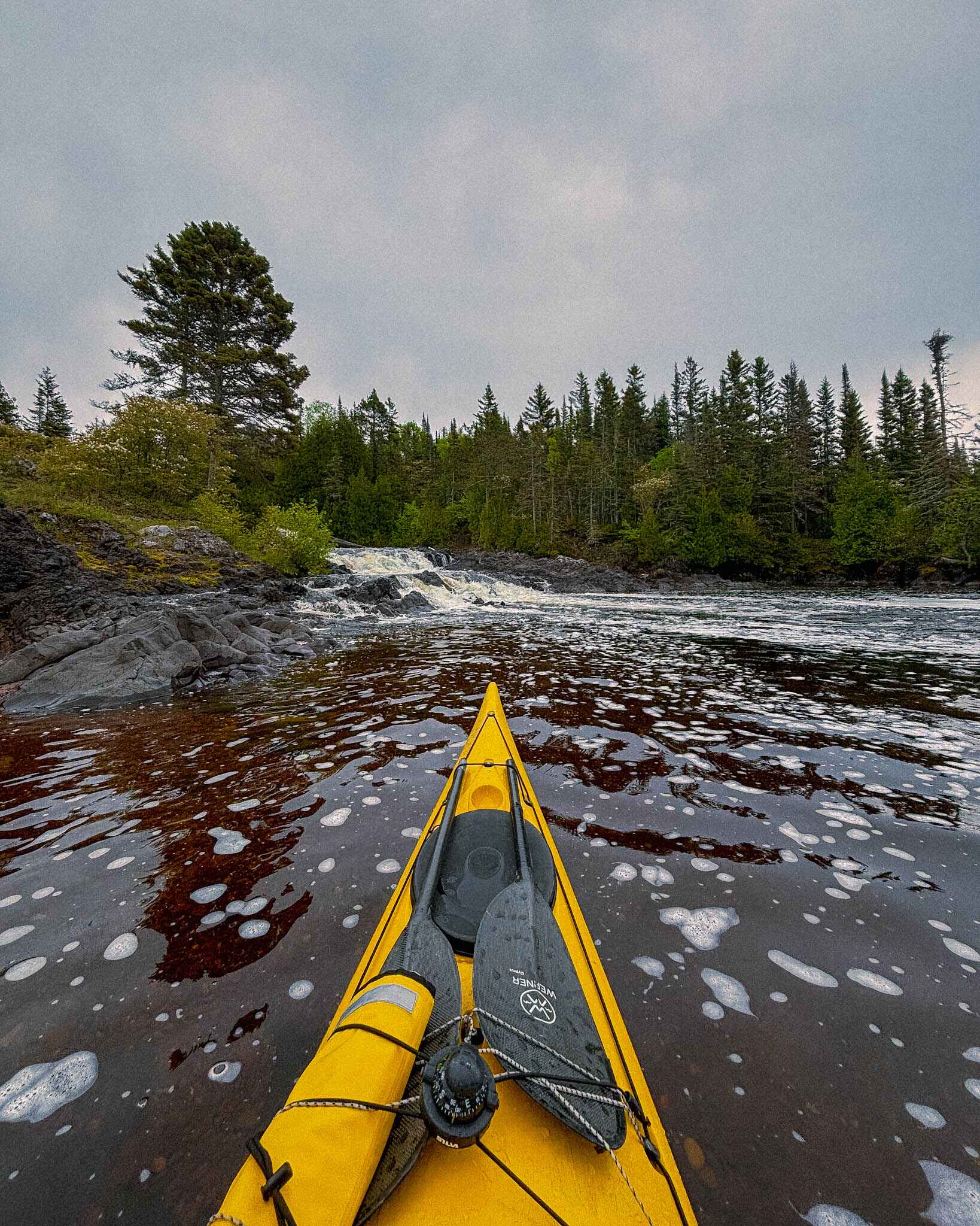
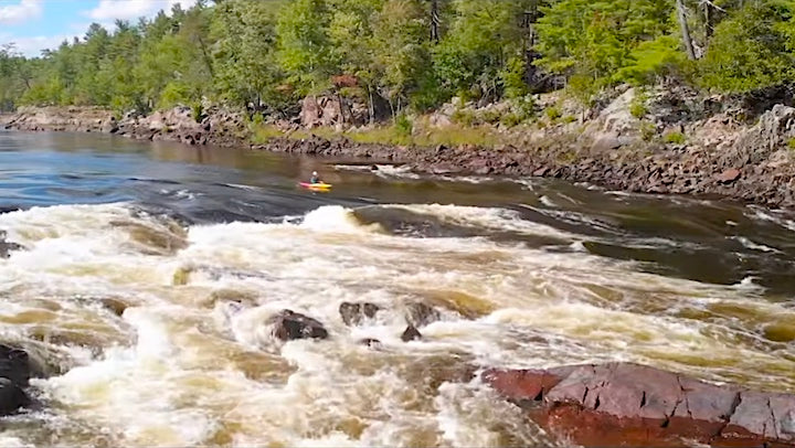
The upper portion of this run (12 miles) is perhaps better suited for canoe tripping. (It may be possible to skip much of this if additional roads in the area are passable.) Upper Falls and Lower Falls are in last mile to lake. You then have a four mile paddle out on Lake Superior to return to the nearest road access.


Difficulty
Class I(IV)
Length
3.4 mi
Gradient
23 ft/mi
max 77
Rapids
7
Access Points
Shuttle Info
The map and directions below will not accurately tell the tale of the shuttle for this. However, it should help with general logistics. Also, enter your home address (or other starting location) to get drive time, distance, and directions to the listed put-in.
Difficulty Classes
I Easy
II Novice
III Intermediate
IV Advanced
V Expert/Extreme
VI Unrunnable
Current Conditions
5-Day Forecast
Whitewater data from
American Whitewater
American Whitewater