Manton to Coleman Fish Hatchery
Gauge Conditions
Runnable: 800.0 – 10,000.0 CFS
Upper limit of best boatability unknown. Please help your fellow boaters by adding a comment or report.
Data from American Whitewater & USGS
CDEC Flow Data California
Data from California Data Exchange Center (CDEC)
Run Map
Run Time Estimate
Select put-in and take-out to estimate time.
Plan This Trip
See wind-adjusted speed maps, forecast planning, and detailed time estimates.
Sign in to generate an AI timing estimate for this run.
Whitewater timing varies with scouting, portages, and group pace. Use as a planning baseline.
Description
An alternative put-in is possible on the North Fork at Wildcat Road when the South Fork is too low to boat.
© 1996 by Bill Tuthill,
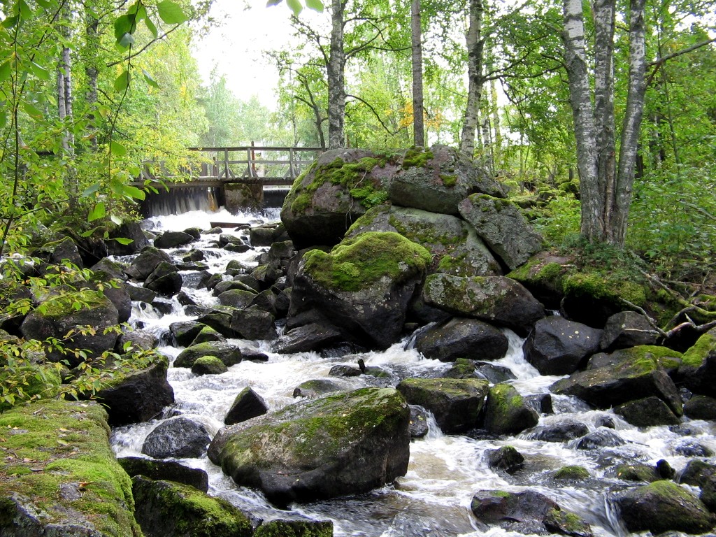
This surprisingly good run is located just the other side of the Sacramentoriver from Red Bluff. The whitewater consists of nearly continuous classII-III rapids and a class IV rapid, tapering off near the end. Scenery andsolitude are good, so it is surprising that this river didn't make it intoany guidebook. This run is superior in all respects to Cache Creek and StonyCreek, although further from population centers. Rapids are numerous, waterquality is good, playspots are plentiful, and the season is long.
Hourly flow information (take-out) is available at \[DWR's
CDEC Web site\]() (code BAT). The description below was compiled at 835cfs, a common flow during spring runoff season. Runs are possible at higherflows, and down to 800 cfs. Technical at low flows, with rough volcanicrocks.
- Tight rapids for about 2 miles on the S Fork, where the flow was about33% of that at take-out. Watch out for a brush-choked drop at a R bend about1.5 miles down.
- At the confluence, the N Fork approximately doubles the flow. TheN Fork is subject to diversions, and its trees are closer to the river thanon the S Fork. It has been run at low flows and described as class III witha few portages, but kayakers have been turned back at higher flows.
- About 1 mile below, the river curves L thru a class III+ rapid, andthen Morgan Creek (? maps disagree) comes in on the L.
- About 2 miles below that, there is an old broached dam (or bridge)with an extant tunnel on river R. Shortly below is the only class IV onthis run (scout or portage R bank).
- Fun class III rapids continue for another 2 miles. Most have shortpools in between, although one is continuous for over 1/2 mile. Below thereis a beautiful spring-fed mini-falls on the R (probably drinkable, purifyto be sure).
- Less intense class III rapids continue for another 2 miles until ahuge horseshoe bend. Below that Spring Branch creek comes in on the L, andrapids ease to class II. Somewhere in there a double pipeline crosses theriver. Evidence of cattle grazing becomes evident.
- After another 2 miles, an artificial-looking waterfalls with lotsof water (perhaps overflow from Coleman Forebay) comes in on the R. Shortlybelow is another inlet from tubes of a power generation station. These diversionsadd 200-300 cfs to the gauged flow.
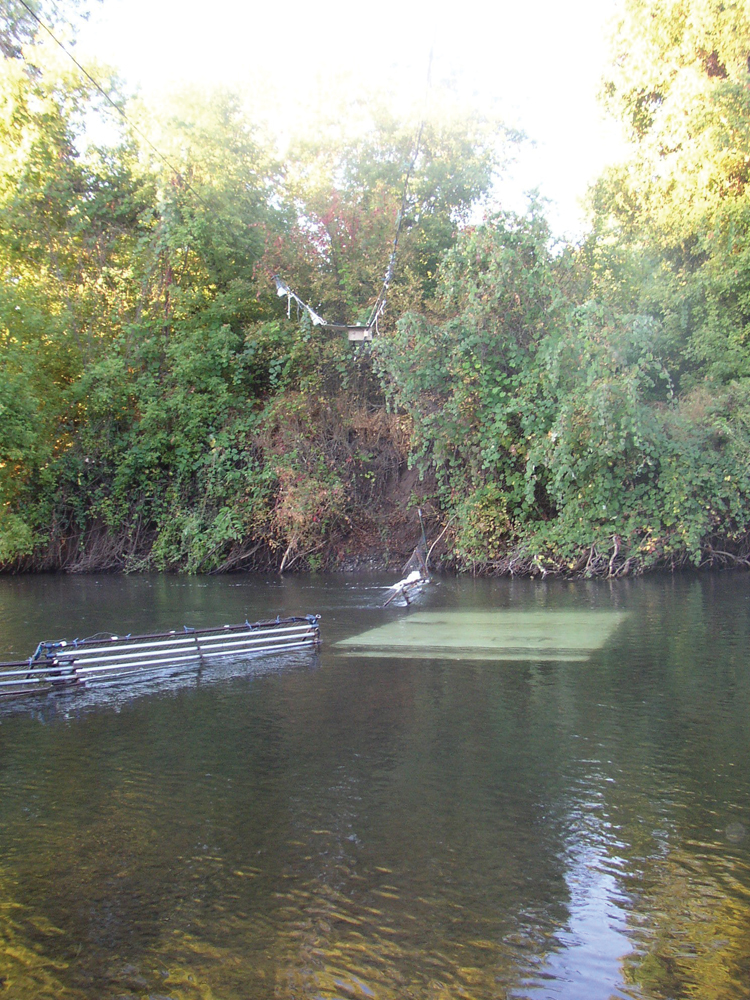
- After another 1.5 miles there is a low-head dam, which at 835 cfscan be safely run on the far L. Take out either above or below the low-headdam.
- HAZARD: Half a mile below take-out is a two-tier concrete diversiondam with drowning-machine reversal below. Do not go near the edge!
To reach take-out from I-5 N of Red Bluff, go E on Gas Point Rd, bear Lon Ball's Ferry Rd, turn R on Ash Creek Rd, cross the Sacramento river,then turn R on Jelly's Ferry Rd, and soon L on Coleman FH Rd. Continue pastthe Fish Hatchery to the end of the county maintained road, and park neara square building covered with grafitti.
To reach put-in from there, return to Ash Creek Rd, turn R and go uphill,turn R on Wildcat Rd, bear R at a junction, then descend and cross the NFork of Battle Creek. You could put in there, or continue to the S Forkahead (as in the description). AAA Feather/Yuba map recommended.
Old-timers say that higher runs on the N Fork are have generated many 'horrorstories' of portage fests. Nearby Antelope Creek offers a more scenic,slightly easier, but longer (perhaps overnight) run.
Rapids in this Run (2)
Difficulty
Class II-III(IV)
Length
11.3 mi
Rapids
2
Access Points
Difficulty Classes
I Easy
II Novice
III Intermediate
IV Advanced
V Expert/Extreme
VI Unrunnable
Current Conditions
5-Day Forecast
Whitewater data from
American Whitewater
American Whitewater