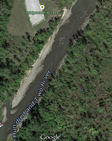
Maryville to St. Joseph
Gauge Conditions
Runnable: ? – ? CFS
Approximate reading: This gauge is 0.0 miles away on One Hundred and Two (102). Use as a general reference only.
Data from American Whitewater & USGS
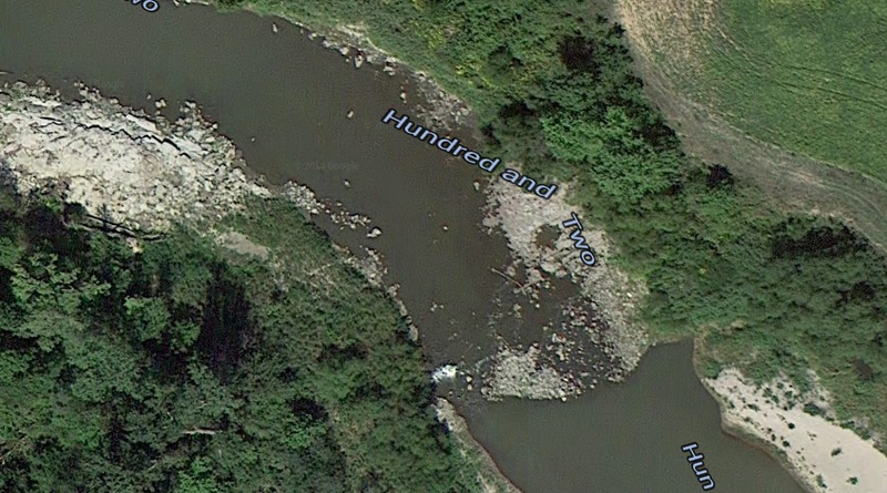
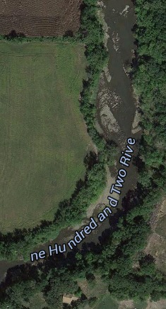
Run Map
Run Time Estimate
Select put-in and take-out to estimate time.
Plan This Trip
See wind-adjusted speed maps, forecast planning, and detailed time estimates.
Sign in to generate an AI timing estimate for this run.
Whitewater timing varies with scouting, portages, and group pace. Use as a planning baseline.
Description
The One Hundred and Two River is usually seen as a muddy mess. While excitement is minimal, the river provides excellent training, wildlife photography, and outdoors access.
Camping options at higher levels can be limited, but there are level sandbars and banks at lower.
"The One Hundred and Two River is a tributary of the Platte River of Missouri that is approximately 80 miles long, in Northwestern Missouri in the United States, with its source tributaries rising in southwestern Iowa. According to the Geographic Names Information System, it is also known as the Hundred and Two River. According to the National Atlas the river begins northwest of Hopkins, Missouri at the confluence of the East Fork One Hundred and Two River and the Middle Fork One Hundred and Two River. It is joined southwest of Hopkins by the West Fork One Hundred and Two River. All three of the forks originate in Iowa." (http://en.wikipedia.org/wiki/One\_Hundred\_and\_Two\_River)
Rapids in this Run (1)
Playspots (1)
Hazards & Portages (1)
Caution: The following locations may require scouting or portaging. Always check current conditions.
Difficulty
Class I(II)
Length
63.6 mi
Rapids
1
1 Hazard
Access Points
Difficulty Classes
I Easy
II Novice
III Intermediate
IV Advanced
V Expert/Extreme
VI Unrunnable
Permit Required
No Permit necessary to float.
Current Conditions
5-Day Forecast
Whitewater data from
American Whitewater
American Whitewater