Mattioli Park (Iron River) to Museum Drive (3.0 up to 10.3 miles)
Gauge Conditions
Runnable: 150.0 – 800.0 CFS
Almost certainly too low for reasonable whitewater. We need your comments and reports about best flows and whether runnable/playable features exist at various
Data from American Whitewater & USGS
Run Map
Run Time Estimate
Select put-in and take-out to estimate time.
Plan This Trip
See wind-adjusted speed maps, forecast planning, and detailed time estimates.
Sign in to generate an AI timing estimate for this run.
Whitewater timing varies with scouting, portages, and group pace. Use as a planning baseline.
Description
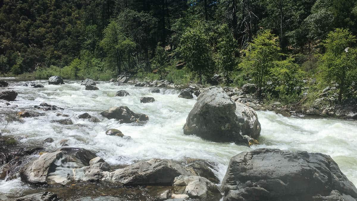
A fine bit of in-town paddling for folks in the Iron River, Michigan area. A bike trail parallels the river, making a bike-shuttle quite easy. It appears (from aerial views online) that there are a number of areas of shallows and shoals, as well as possibly a small ledge or two, which could allow for some minor whitewater play.
The run can easily be extended up to as much as 10.3 miles (taking out after the confluence with the Brule River).
Anyone who has more info (or photos!) of this section is encouraged to help out your fellow paddlers by providing a 'trip report'!
All flow ranges are merely tentative. Create a 'Trip Report' stating listed flow and your impressions (low/moderate/high).
Rapids in this Run (11)
 Rapid
I
Rapid
I
Genesee Rips
 Rapid
I
Rapid
I
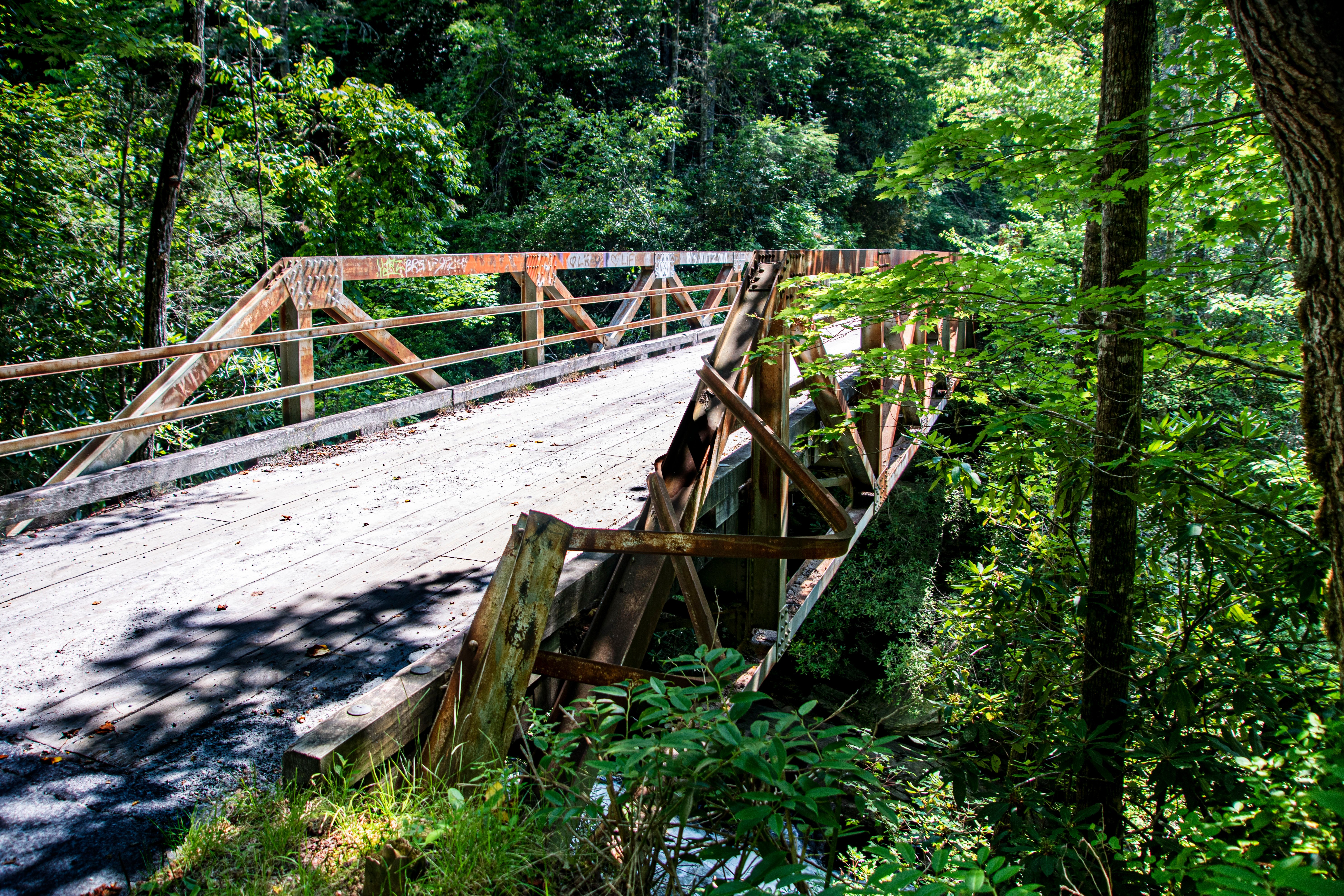
Pedestrian Bridge
 Rapid
Rapid
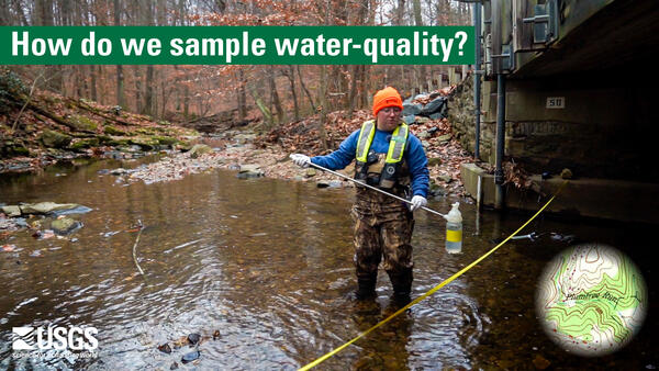
USGS sampling site: 65 sq.mi.
 Rapid
Rapid
State Line Trail Bridge
Rapid
19th Street / Spruce St / Dober Mine Road
 Rapid
Rapid
Museum Drive
 Rapid
Rapid
County Road 424/Youngs Ave/E.Railroad Street
 Rapid
Rapid
Private footbridge
 Rapid
Rapid
Increased gradient
 Rapid
Rapid
Confluence with Brule River
 Rapid
Rapid
Scott lake Road
Difficulty
Class I-II
Length
3.0 mi
Rapids
11
Access Points
Shuttle Info
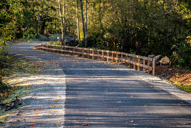
State Line Trail (bike trail) parallels this short stretch, making a bike shuttle very convenient.
Difficulty Classes
I Easy
II Novice
III Intermediate
IV Advanced
V Expert/Extreme
VI Unrunnable
Current Conditions
5-Day Forecast
Whitewater data from
American Whitewater
American Whitewater