Middle Canyon Creek Falls to Canyon Creek Falls
Gauge Conditions
Runnable: ? – ? CFS
Approximate reading: This gauge is 13.8 miles away on Canyon Creek. Use as a general reference only.
Data from American Whitewater & USGS
Run Map
Run Time Estimate
Select put-in and take-out to estimate time.
Plan This Trip
See wind-adjusted speed maps, forecast planning, and detailed time estimates.
Sign in to generate an AI timing estimate for this run.
Whitewater timing varies with scouting, portages, and group pace. Use as a planning baseline.
Description
Description:
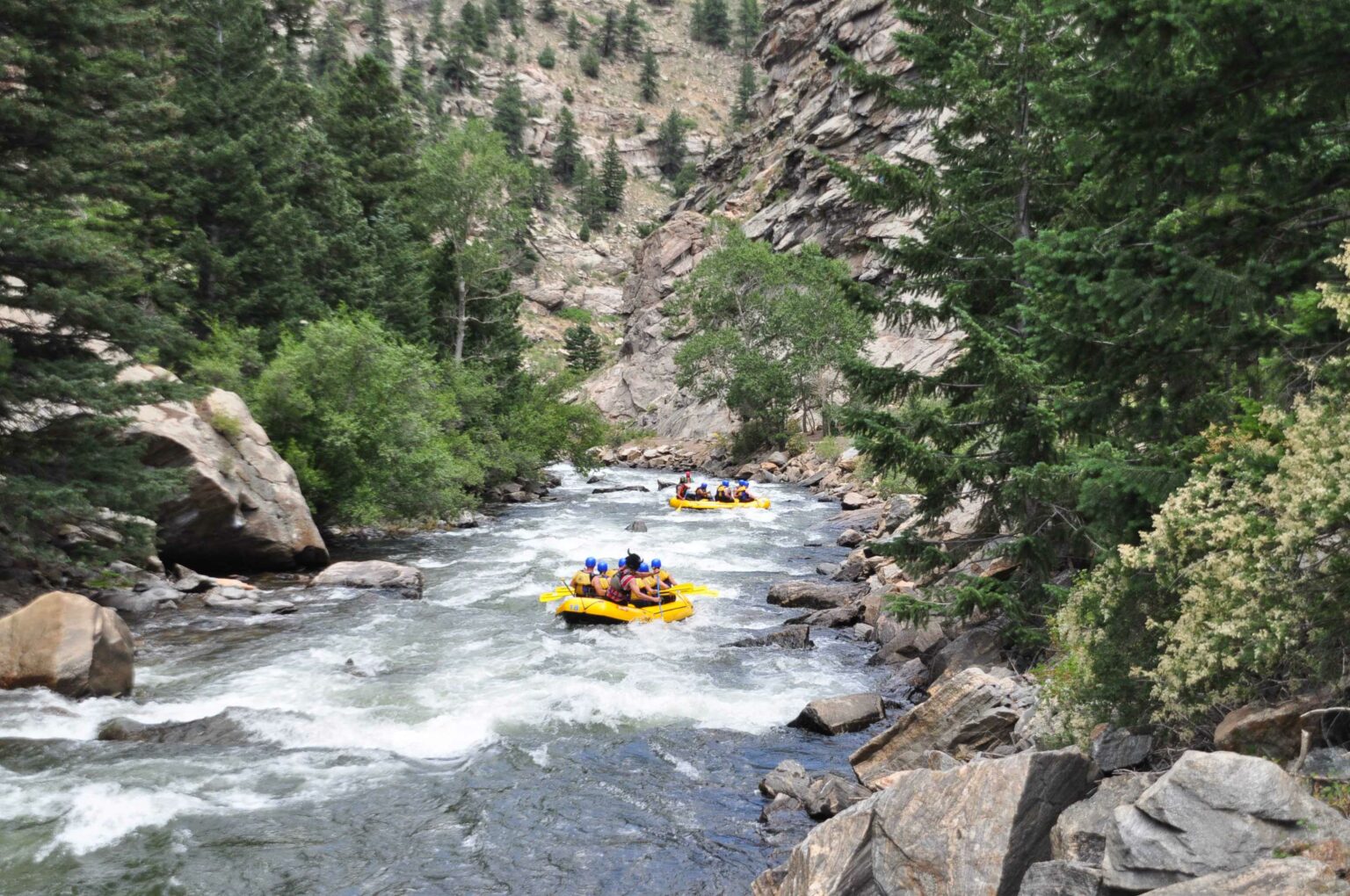
The 'Waterfall to Waterfall Run' of Canyon Creek is a wonderful packrafting adventure high in the Trinity Alps of Northern California for paddlers interested in exchanging ten miles of scenic hiking for two miles of high quality whitewater. The hike follows Canyon Creek Trail from the Canyon Creek Trailhead up to a series of large waterfalls below alpine lakes. The run itself is characterized by a mixture of class III and IV granite slides, boofs, boulder gardens and calm sections with excellent scenery throughout. Keep an eye out for wood and bears.
Flows:
Look for flows between 400 and 700 CFS on the Dreamflows gauge for Canyon Creek at Junction City. This is a virtual gauge calculated by subtracting flows on the Trinity River above Canyon Creek from flows on the Trinity River below Canyon Creek.
Logistics:
Park and hike upstream from the Canyon Creek Trailhead near Junction City. Note that the Bear Creek Trail also departs from this trailhead, so make sure you take the correct trail up Canyon Creek. The Canyon Creek Trail actually follows Bear Creek briefly before switching back and switching to the other side of a ridge where it begins to follow Canyon Creek itself.
After hiking for around 3.75 miles on the Canyon Creek Trail, keep an eye out for Canyon Creek Falls on your left. As you hike further upstream of the falls, you'll encounter more large drops before the character shifts to that of a meandering creek through a meadow. Note this location, and plan to take out before reaching the falls. There are a few dispersed backpacking campsites here that are perfect places to exit the river and pack up gear before hiking back out. Below Canyon Creek Falls are several miles V/VI boulder gardens, which when the upper section is running, will be extremely continuous, have few eddies, and may be filled with wood. This run does not include that section.
Once you've noted your take-out, continue hiking upstream for around 2 miles to Middle Canyon Creek Falls. Enjoy the beauty, and then find a suitable put-in below. From here, paddle approximately two miles back to your noted take-out point, where you'll pack up gear, and hike back down the way you came in.
Additional Information:
Packrafting Upper Canyon Creek, Trinity Alps Wilderness \- Video by Trent Pearce from 6/10/2023 run
Rapids in this Run (1)
Difficulty
Class III+(IV)
Length
1.7 mi
Rapids
1
Access Points
Difficulty Classes
I Easy
II Novice
III Intermediate
IV Advanced
V Expert/Extreme
VI Unrunnable
Current Conditions
5-Day Forecast
Whitewater data from
American Whitewater
American Whitewater