Mill Road to Lake Michigan (PnP or 0.8 mile)*Access&Safety Issues*
Gauge Conditions
Runnable: 100.0 – 600.0 CFS
Generally too low create meaningful whitewater features. Boating is NOT RECOMMENDED at any time on this reach.
Data from American Whitewater & USGS
Run Map
Run Time Estimate
Select put-in and take-out to estimate time.
Plan This Trip
See wind-adjusted speed maps, forecast planning, and detailed time estimates.
Sign in to generate an AI timing estimate for this run.
Whitewater timing varies with scouting, portages, and group pace. Use as a planning baseline.
Description
This description is being included in the AW listings _primarily_ in case some boater in the area figures they've made a discovery of an 'unknown' bit of whitewater.
For some miles above the Mill Pond, Oak Creek _could_ provide some very mild swiftwater/whitewater entertainment since there are a few areas of (minor) gradient containing riffles, rips, and minor rapids and logjam/rootball 'pourovers'. However, we cannot recommend attempting to boat upstream of the Mill Pond. The creek is heavily modified, having been long ago straightened (not necessarily 'straight', just smoothed, altered course) channelized (a few areas of cement or otherwise armored streambanks), and confined for the convenience of building roads, houses and businesses along its banks. When the creek leaves the most heavily altered area and enters more natural, wooded banks, it is highly prone to deadfall and snags. In such a small, tight creek, any deadfall will be difficult to avoid, and it is likely it will be difficult (at any elevated flows, at least) to find slackwater or eddies to safely get out and portage.
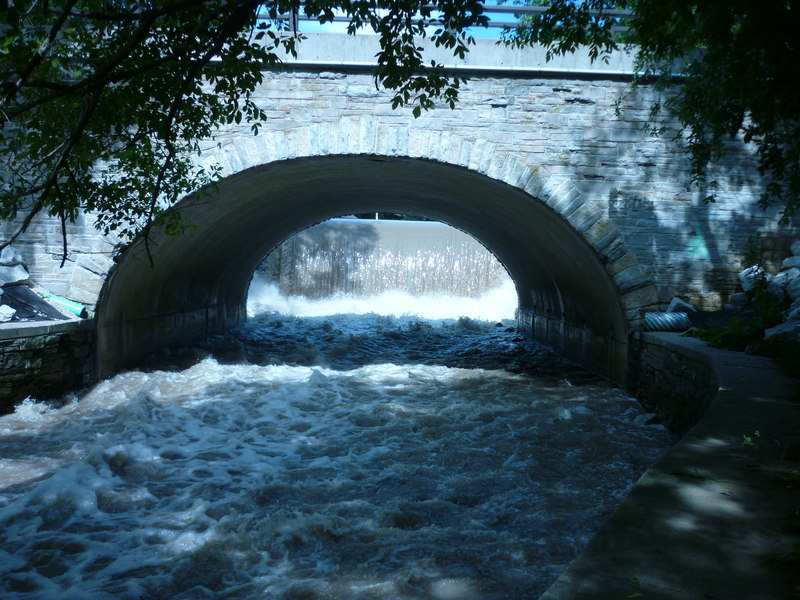
The Mill Pond has (over decades) silted in, and is generally quite shallow. Water spills over the dam and lands on very shallow uniform bedrock. DO NOT EVEN THINK ABOUT GOING OVER THE DAM!
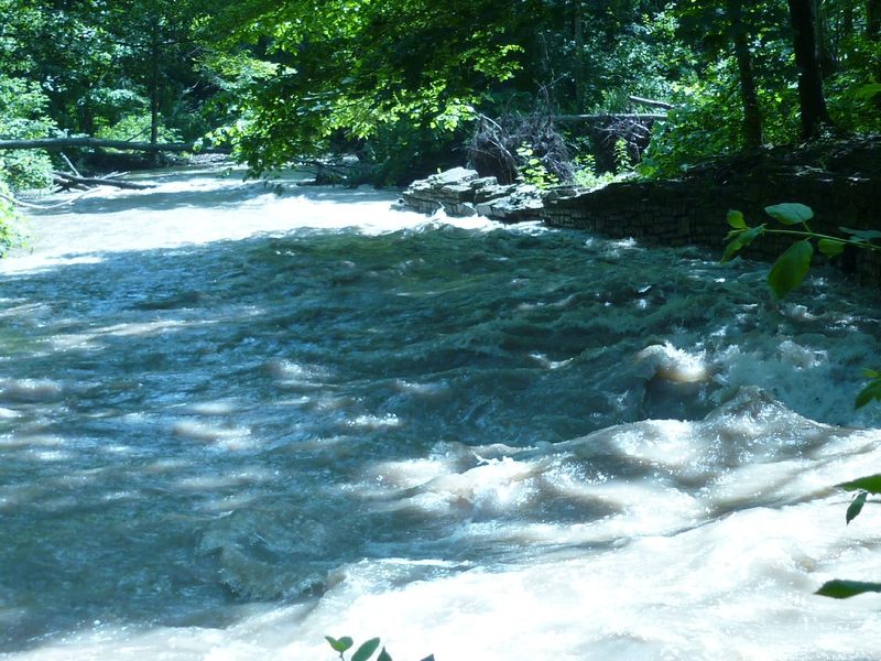
Immediately after the dam, water rushes under Mill Street bridge, sheeting across sloping bedrock, then encounters a bit of a pool. A fine looking wave sometimes builds up here (at moderate flows). Play would be possible, but putting in upstream of the wave (to run the brief approach, eddy out, and play) is quite awkward due to the vertical stone walls. So, skip the run-in by just putting in at the pool.
Any time the creek runs high enough to form the wave, water quality tends to be disgusting, often with much trash and debris in the eddies.
This pool is an extremely popular spot for area fishermen who are likely to be quite displeased to yeild any amount to your presence. In my experience (every time I have looked at this spot at boatable flows), it is rare to find the creek without at least a handful of fishermen throughout this area.
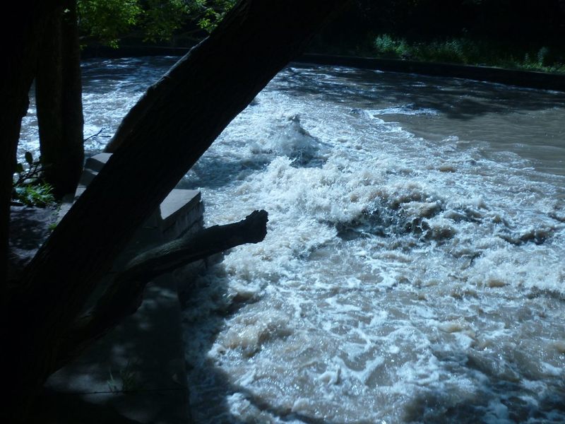
Coming out of the pool below the dam, the creek spills across a mess of rock rubble as it takes a sharp left bend to pass under the parkway road. Shortly downstream, it spills across a (very short, maybe 6 inch) ledge/drop which creates a small wave/hole at moderate flows, and might allow very minor surfs.
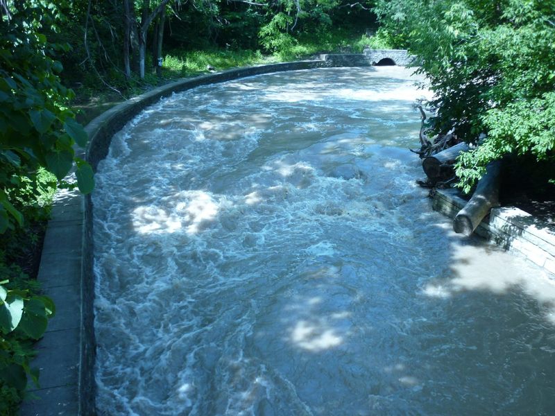
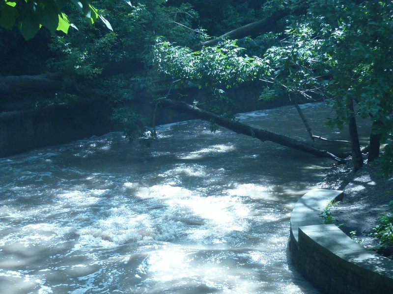
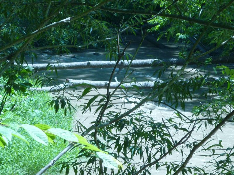
Downstream, the river winds back and forth through the wooded parkway. No additional rapids are encountered, though there may be some moderate current and minor splishy-splash waves. The riverbanks are almost all vertical stone walls, so getting out and around deadfall is virtually impossible, and deadfall and snags are very common through here!
Since there is really only the one significant feature (the wave in the pool below the dam at our listed 'put in'), and since the whole stretch is so prone to deadfall, and since it is so heavily fished, (oh, and, did I mention? It is also technically not legal. Milwaukee County Ordinance disallows boating anyplace off County Parkway property unless an OFFICIALLY designated launch/landing site has been authorized. There is none here.), . . . so we do not recommend trying to boat this creek. If/when there is adequate water for this to be boatable, there will be other things in the Greater Milwaukee area which are far more worthwhile and generally less dangerous to boat.
Difficulty
Class I-II
Length
0.7 mi
Gradient
20 ft/mi
Rapids
8
Access Points
Shuttle Info
If bothered with at all, this is most likely to be done as a 'park-and-play' just below the Mill Dam (at the listed put-in), thus you are likely to ignore the shuttle directions below.
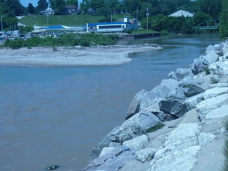
Even in the event that you opt to run the listed reach, you will likely use a different route than what is shown, to end up at the parking lot just north of the mouth of the river on Lake Michigan, using the parkway road for your shuttle.
Either way, the more likely use of this mapping page will be for you to enter your home or other starting address in the text-entry box to then get drive time, distance, and directions to this location.
Difficulty Classes
I Easy
II Novice
III Intermediate
IV Advanced
V Expert/Extreme
VI Unrunnable
Current Conditions
5-Day Forecast
Whitewater data from
American Whitewater
American Whitewater