Mine Rd To Mascot Rd
Gauge Conditions
Runnable: ? – ? CFS
Approximate reading: This gauge is 0.0 miles away on Big Flat Creek. Use as a general reference only.
Data from American Whitewater & USGS
Run Map
Description
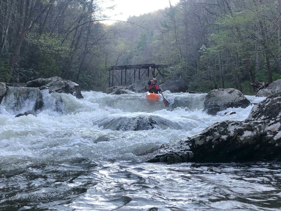
Interesting run with some river wide ledges and shoals. Ends in a large flume
Rapids in this Run (1)
Difficulty
Class II
Length
1.8 mi
Rapids
1
Access Points
Difficulty Classes
I Easy
II Novice
III Intermediate
IV Advanced
V Expert/Extreme
VI Unrunnable
Current Conditions
5-Day Forecast
Whitewater data from
American Whitewater
American Whitewater