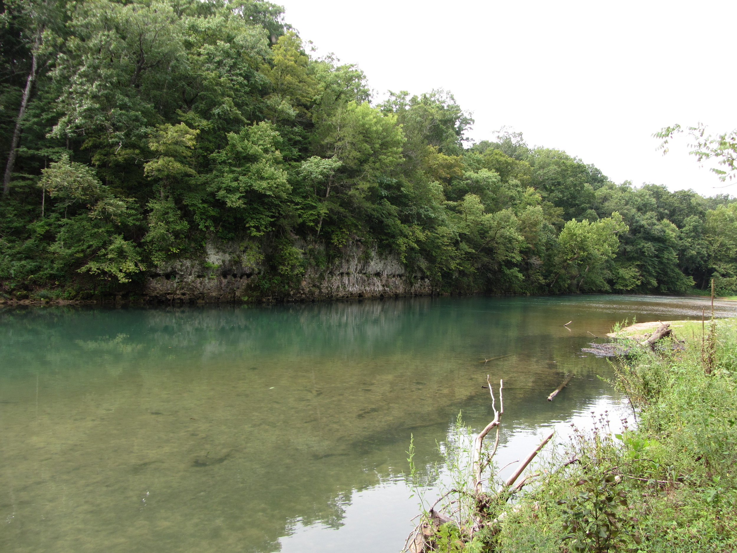
Montauk State Park to Gooseneck
Gauge Conditions
Runnable: ? – ? CFS
Approximate reading: This gauge is 0.6 miles away on Current. Use as a general reference only.
Data from American Whitewater & USGS
Run Map
Run Time Estimate
Select put-in and take-out to estimate time.
Plan This Trip
See wind-adjusted speed maps, forecast planning, and detailed time estimates.
Sign in to generate an AI timing estimate for this run.
Whitewater timing varies with scouting, portages, and group pace. Use as a planning baseline.
Description
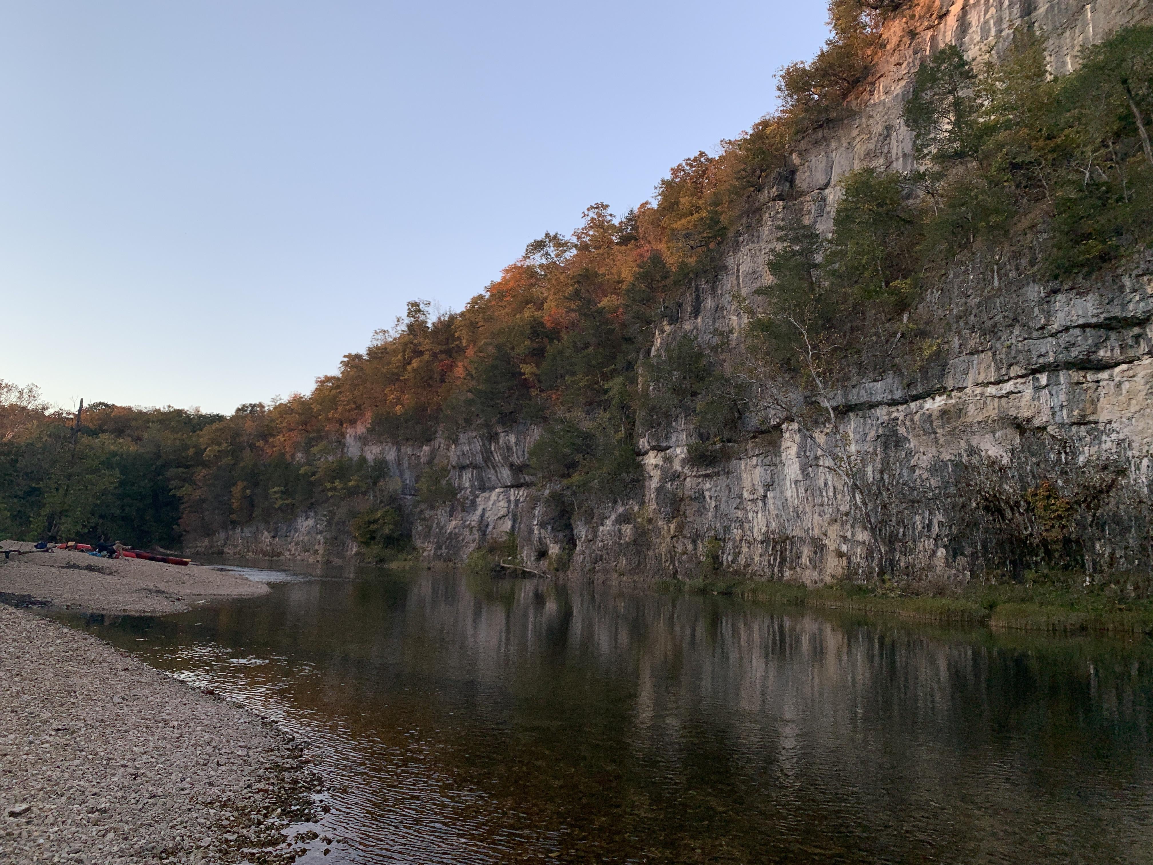
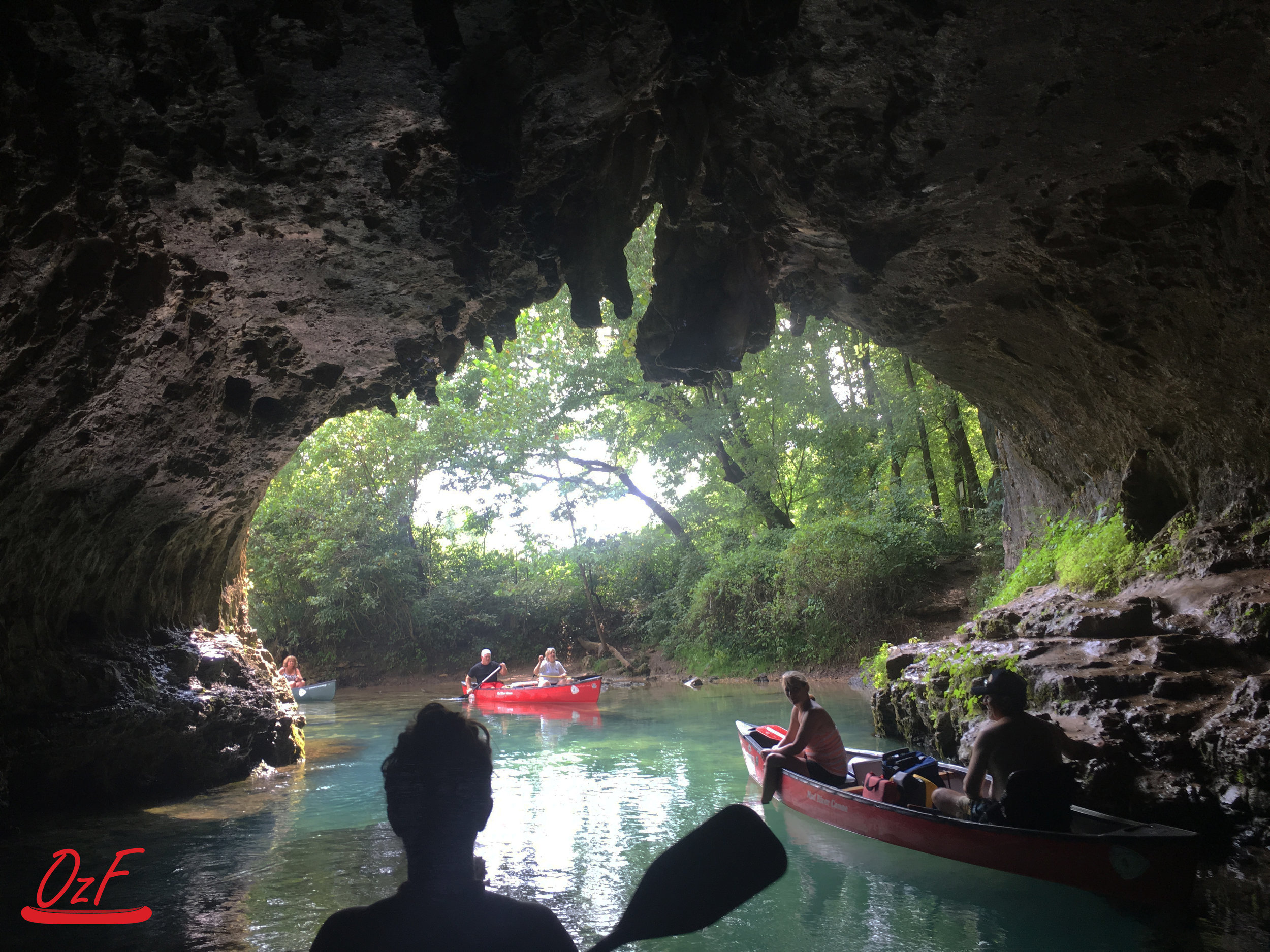
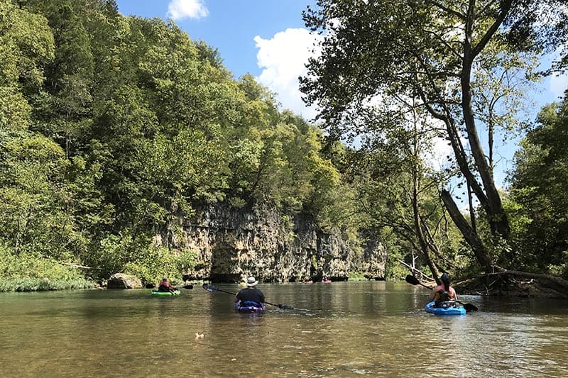
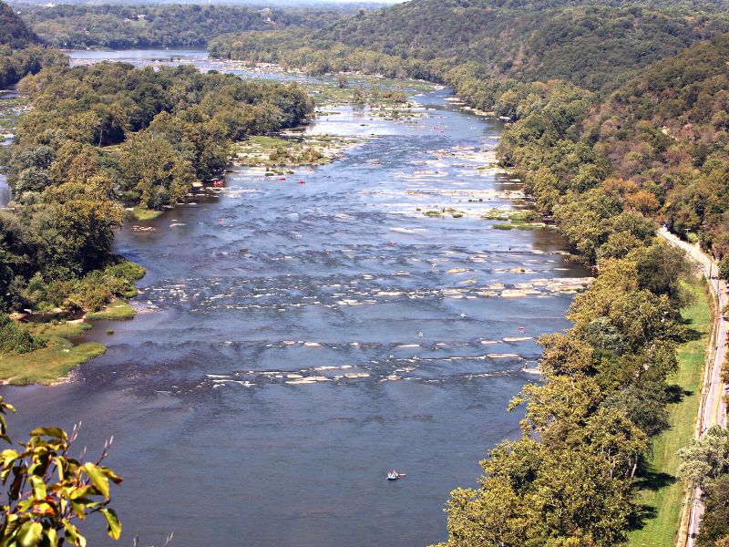
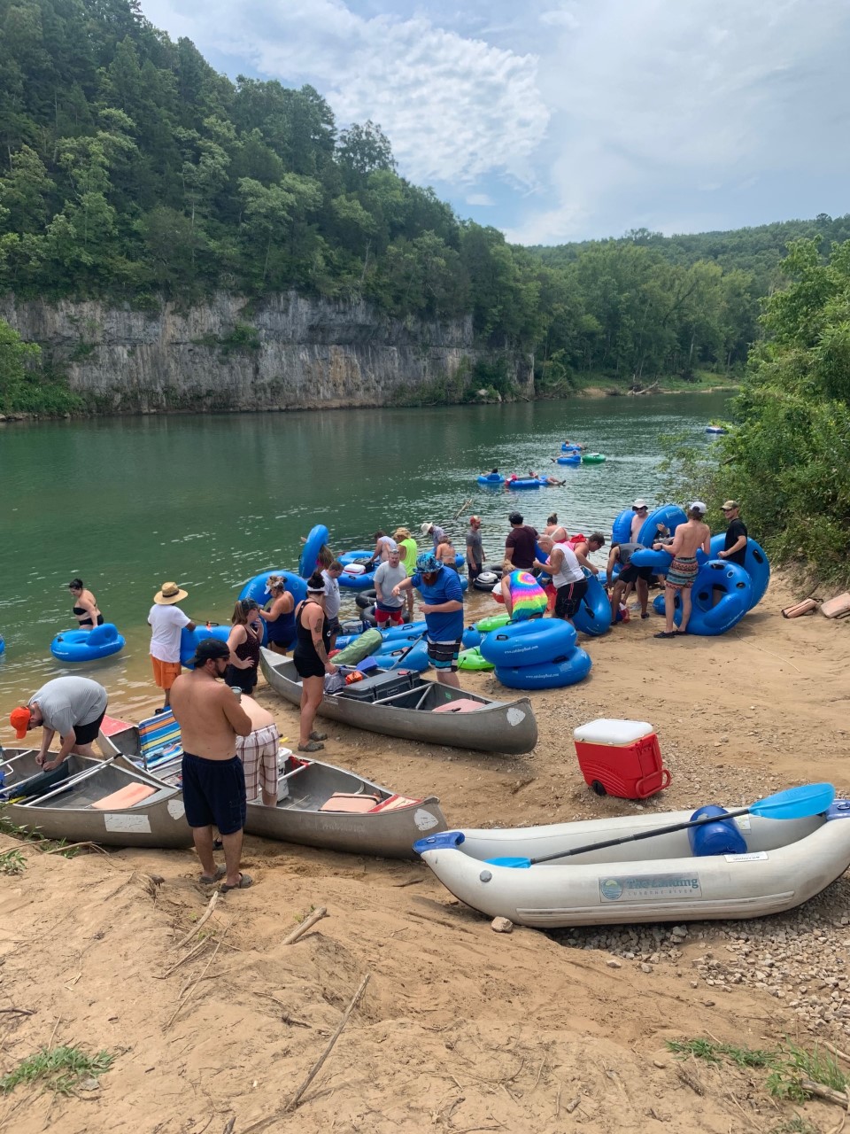
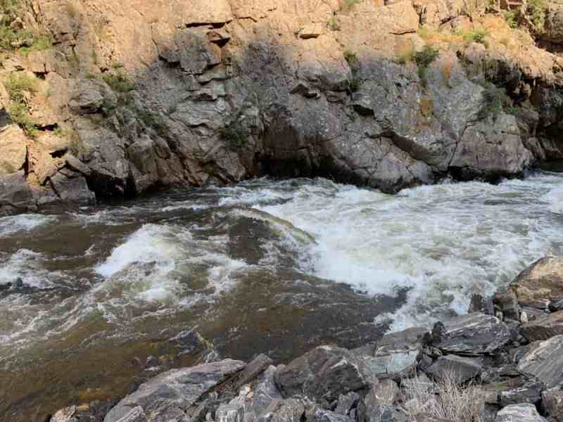
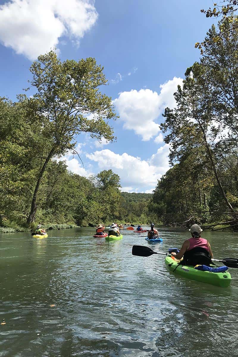
The Current River offers a beautiful run on a spring-fed river that is part of the Ozark National Scenic Riverways administered by the National Park Service. The Ozark National Scenic Riverways was created by an Act of Congress on August 27, 1964, as the first protected river in the National Park system that includes 134 miles of the Current and Jacks Fork Rivers in the Ozark Highlands of southeastern Missouri. A number of access points along the way provide opportunities for day trips or overnight adventures that are popular with canoeists. Paddlers will find more gradient at the top and before the river mellows out to a popular summer float trip.
Rapids in this Run (19)
 Rapid
Rapid
Baptist Access
 Rapid
Rapid
Cedar Grove Access
 Rapid
Rapid
Welch Landing
 Rapid
Rapid
Aker's Ferry Access
 Rapid
Rapid
Pulltite Access
 Rapid
Rapid
Round Spring Access
 Rapid
Rapid
Jerktail Landing Access
 Rapid
Rapid
Two Rivers Access
 Rapid
Rapid
Powder Mill Access
 Rapid
Rapid
Roberts Field Access
 Rapid
Rapid
Logyard Access
 Rapid
Rapid
Beal Landing Access
 Rapid
Rapid
Chilton Creek Access
 Rapid
Rapid
Waymeyer Access
 Rapid
Rapid
Raftyard Access
 Rapid
Rapid
Watercress Park (Van Buren)
 Rapid
Rapid
Big Spring
 Rapid
Rapid
Hickory Landing Access
 Rapid
Rapid
Gooseneck Access
Difficulty
Class I(II)
Length
110.0 mi
Rapids
19
Access Points
Difficulty Classes
I Easy
II Novice
III Intermediate
IV Advanced
V Expert/Extreme
VI Unrunnable
Current Conditions
5-Day Forecast
Whitewater data from
American Whitewater
American Whitewater