N.2249th Rd. to landing off of Ed Hand Hwy. (8.15 miles)
Gauge Conditions
Runnable: 500.0 – 8,000.0 CFS
Reasonable beginner/intermediate level.
Data from American Whitewater & USGS
Run Map
Run Time Estimate
Select put-in and take-out to estimate time.
Plan This Trip
See wind-adjusted speed maps, forecast planning, and detailed time estimates.
Sign in to generate an AI timing estimate for this run.
Whitewater timing varies with scouting, portages, and group pace. Use as a planning baseline.
Description
Quick Facts:
Location: NorthCentral IL, about 4 miles SE of Oglesby (near Starved Rock SP and Matthiessen SP).
Shuttle Length: 6.5 miles/~9 minutes.
Character: Very scenic rural stream. High bluffs in places. Wide open rapids (with exception of Wildcat).
Drainage: 1278 sq.mi. (at former gauge site near put-in).
Put-in is approximately 510' elevation.
Take-out is approximately 450' elevation.
Thus total elevation change is approximately 60'.
General Overview
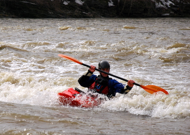
The Vermilion River in LaSalle County is a class II-III whitewater river in North-Central Illinois. (There are two Vermilion's in Illinois, each with just one 'L', though many people insert a second one) We have often seen this (erroneously) characterized as the 'only' whitewater in Illinois. In fact, there are numerous other whitewater runs, but this is certainly the most well known and among the larger watersheds. As such, it has the most boatable days of any *natural* whitewater in the state, allowing a commercial rafting business to be viable.
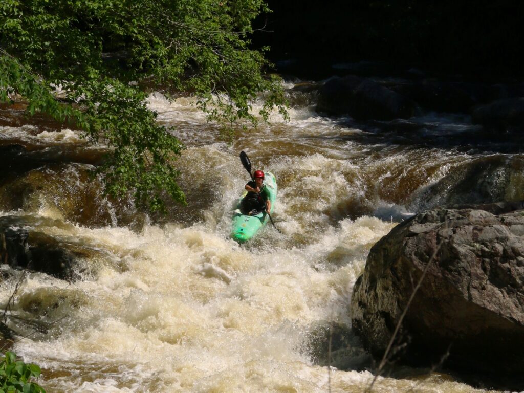
The majority of this section runs through Matthiessen State Park. (In 2018, property formerly owned by Buzzi-Unicem cement company was purchased by the state to add to Matthiessen.) Large bluffs and a 'canyon' (by Illinois standards) surround significant parts of this run, making it quite scenic.
The Vermilion is wide, and when running at good levels (over 1000 cfs) becomes quite pushy in places. However, the fact that it is very 'pool/drop' (you have at least a half mile between rapids) makes it (at most levels) an excellent place for beginning whitewater boaters and commercial (and private) rafters.
***\\*\\*\\ *Access from N.2219th Road is no longer advised due to private property concerns.\\*\\*\\**
Please use access from the rafting outfitters. Put in there, or carry-up a quarter-mile or so to start with the rapids above the bridge. A fine series of waves and holes extend from upstream to a bit beyond the Hwy.178 bridge. (In winter months, this area may often be free enough of ice that area boaters use it for some 'park-and-play' opportunities.)
Downstream, there had been two places of potential concern for novice boaters. The first is *'Wildcat'*. A landslide at this location in Spring of 2009 dumped dirt, trees, and huge rocks in the river. The trees and dirt have been washed away, but the rocks remain, changing this rapids. Depending upon flows, this can be a bit tricky to run, but there are usually left and right route options.
The second area had been the *'Cement Factory Dam'*. This has now been removed and is no longer a problem!
There is a hand painted boater's gauge at the Lowell put-in that most paddlers use to describe the level. A conversion chart from USGS flow information can be found at *Wayback Machine***
Years back people took out at the highway bridge, but there were occasional issues with parking along the highway. As a result, there is a new park and an area designated as 'Vermilion River Boat Launch'.
Difficulty
Class II-III
Length
8.2 mi
Gradient
7 ft/mi
max 10
Rapids
10
Access Points
Difficulty Classes
I Easy
II Novice
III Intermediate
IV Advanced
V Expert/Extreme
VI Unrunnable
Current Conditions
5-Day Forecast
Whitewater data from
American Whitewater
American Whitewater