N.Rock Road/38th Road to Bay du Noc (PnP, or up to 27 miles)
Linked via: Nhdplus discovery 90% confidence Synced 5mo ago
Gauge Conditions
Runnable: ? – ? CFS
Approximate reading: This gauge is 14.3 miles away on Rapid. Use as a general reference only.
Data from American Whitewater & USGS
Run Map
Run Time Estimate
Select put-in and take-out to estimate time.
Unlock Advanced Trip Planning
See wind-adjusted speed maps, forecast planning, and detailed time estimates.
Sign in to generate an AI timing estimate for this run.
Whitewater timing varies with scouting, portages, and group pace. Use as a planning baseline.
Description
With a name like 'Rapid River', you'd think there should be some whitewater, right? Well, there is, though generally it is almost exclusively low-grade rapids (class I-II riffles and rips). This river appears to spread it's gradient out over quite a length. In the twenty-seven miles listed here, there are just two stretches (a three-mile and a four-mile stretch) where gradient falls under ten feet per mile. Flipside, there is **no full mile where gradient *exceeds* twentyfive feet per mile, and not a quarter-mile with more than ten feet of drop (I.E., an equivalent of 40FPM). So, any long reach here is canoe-tripping or recreational-kayak territory.
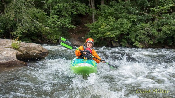
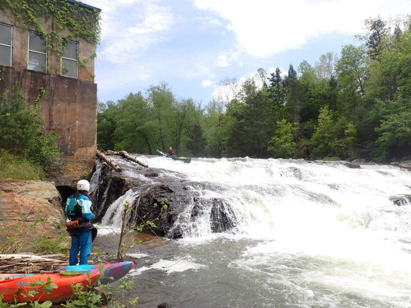
That said, there is one area of named rapids which (with adequate flows) could excite true whitewater playboaters. 'Rapid River Falls' (really more of a 'rapids' than a 'falls'), lies within a park (good access for PnP).** Check out some drone footage of the falls: Rapid River Falls
For those wishing to do more than just the park-and-play, many different access points are possible, allowing various length trips. With adequate flows, the full run could be possible (though you would obviously need an early start and a long day!). IF access/parking is found, it could be split into (nearly equal) thirds, the first-third ending where the river is close to E.Maple Ridge/37 Road, the second-third ending at Rapid River Falls County Park, and the final-third ending at Bay du Noc.
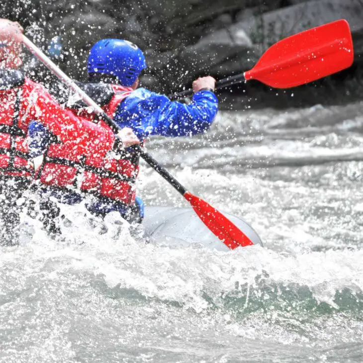
The following video (from YouTube, courtesy '906 Outdoors') includes commercial rafting footage of the rapids on this run. We have set start-time to skip footage on the Escanaba River and just feature this river. (If you drag the slider, you can see the beginning of the video/show which includes rafting the Escanaba below Boney Falls Dam). Rafting Rapid River
Rapids in this Run (7)


Playspots (1)
Difficulty
Class I-II(III)
Length
25.0 mi
Gradient
13 ft/mi
max 25
Rapids
7
Access Points
Shuttle Info
Many possible access points exist which could be used to create shorter trips. A few areas may allow park-and-play opportunities.
Difficulty Classes
I Easy
II Novice
III Intermediate
IV Advanced
V Expert/Extreme
VI Unrunnable
Current Conditions
5-Day Forecast
Whitewater data from
American Whitewater
American Whitewater